Browse / India / Arunachal Pradesh / Seppa
Seppa
Arunachal Pradeshcity
Demographic figures from Ministry of Statistics (India). Overview below cites Wikipedia and may reference a different year.
City facts
Facts from Wikidata (CC0).
Overview
Seppa is the headquarter of the East Kameng district in the state of Arunachal Pradesh in India. Sepla means 'marshy' land in the local dialect. It lies on the bank of Kameng River with a helipad located in the heart of the town. It is located 160 kilometres (99 mi) from Itanagar and 213 kilometres (132 mi) from Tezpur (Assam) connected by motorable road. The village of Seppa has two out of the sixty Vidhan Sabha Constituencies of Arunachal Pradesh. They are Seppa East and Seppa West.
Read more on WikipediaHistory & geography
Geography
Coordinates & boundaries from the US Census TIGER/Line shapefiles.
Climate
Air quality
Walkability
Amenities nearby
Wildlife & biodiversity
Earthquake history
Photos
Sights & places nearby
Notable people from here
Nearby places in Arunachal Pradesh
- Montanuy / Montanui5080.7 mi away · pop. 36
- Sesué5089 mi away · pop. 105
- Puente de Montañana5089 mi away · pop. 60
- Villanova5089.5 mi away · pop. 149
- La Puebla de Roda5092.2 mi away · pop. 92
- Perarrúa5102.1 mi away · pop. 63
- Palo5105.7 mi away · pop. 31
- Abizanda5110 mi away · pop. 89
- Sallent de Gállego5120.9 mi away · pop. 790
- Yésero5121.1 mi away · pop. 60
- Pozán de Vero5122.2 mi away · pop. 225
- Pueyo de Santa Cruz5122.3 mi away · pop. 333
Geography & sun
Nearby airports
Public attention
Books about this place
Recent natural events nearby
Ground air-quality sensors
Recently spotted species
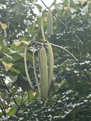
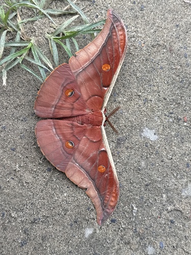
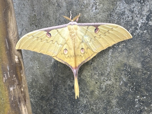
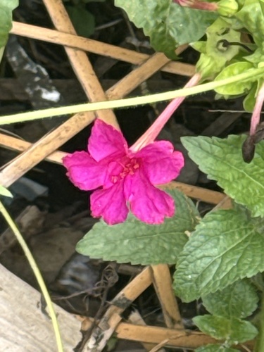
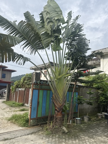
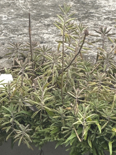
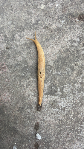
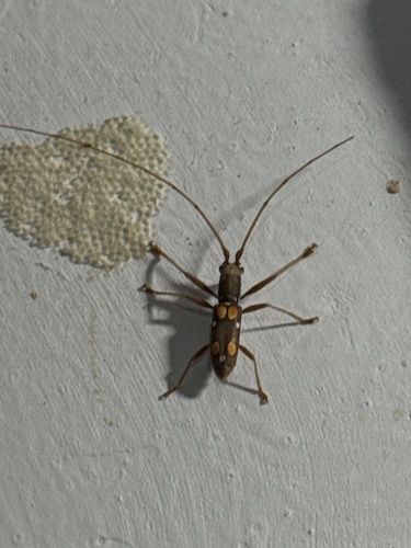
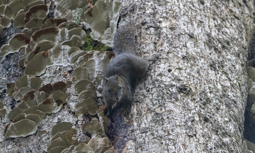
Research-grade observations from iNaturalist (within ~15 mi).
Events
Gallery
Sources
- • Wikipedia
- • Wikidata
- • iNaturalist