Browse / United States / Indiana / Sharpsville
Sharpsville
Indianatown

Sharpsville
Total population
662
Median home value
$116,700
Bachelor's+
Median income
$92,500
Demographic figures from US Census Bureau · ACS 5-year estimates. Overview below cites Wikipedia and may reference a different year.
City facts
Overview
Sharpsville is a town in Liberty Township, Tipton County, in the U.S. state of Indiana. The community is part of the Kokomo, Indiana Metropolitan Statistical Area. As of the 2020 census, Sharpsville had a population of 553.
Read more on WikipediaHistory & geography
History
The town was named after founder E.M. Sharp, who originally was from Washington County, Pennsylvania. Sharp moved to Morgan County, Illinois in 1831, prior to relocating to Jennings County, Indiana in 1838. In spring 1849, he moved to Liberty Township. The town was platted on May 24, 1850, under the assumption that Sharpsville would become the county seat for Tipton Township (which became Tipton). A town square was incorporated into the town layout which became a public park rather than the location of a place of government. The town was incorporated in 1873, but it ceased to be incorporated by vote in 1881 and regained village status. The Sharpsville post office has been in operation since 1851. Many of the first buildings were churches. The First Methodist church in Sharpsville was built in 1852 and the Richland Evangelical Lutheran Church in 1857. In 1873, the Hopewell Presbyterian Church was founded 2.5 miles east of Sharpsville, with a building being completed for the congregation in 1874. As the need for local education arose in 1852, Martha Ann Grishaw would become teacher of the first school in Sharpsville. School was held in a wooden cabin. The second school was taught by Lizzie Smith in a small house on the south-side of the town square. The earliest schools were subscription schools where citizens paid a fee to have their children educated. Later a Secondary school was founded as Sharpsville-Prairie High School. In 1970 the High School, along with Windfall High School, merged to form Tri-Central Middle/High School. Sharpsville was home to participants in the American Civil War . On August 9, 1861, a company assembled in Sharpsville that would join the 26th Indiana Infantry Regiment as Company C. In all, 78 listed on the Company C Roster listed…
Geography
According to the 2010 census, Sharpsville has a total area of , all land. Sharpsville is bound on the south by Broad Creek a stream that connects Mud Creek going East and Barr Ditch going West.
Excerpted from the corresponding Wikipedia article (CC BY-SA).
Demographics & economy
Race & ethnicity
Source: US Census Bureau — American Community Survey, 5-year estimates.
Geography
Coordinates & boundaries from the US Census TIGER/Line shapefiles.
Climate
Air quality
Industrial & pollution facilities
Natural hazard risk
Health (adults)
Age-adjusted prevalence estimates from CDC PLACES (latest release).
Walkability
Amenities nearby
Wildlife & biodiversity
Schools
Largest nearby schools
- Tipton Elementary SchoolElementary · Tipton · 668 students · 15.9:1 ratio
- Tipton High SchoolHigh · Tipton · 439 students · 11.9:1 ratio
- Tri Central Middle-High SchoolHigh · Sharpsville · 410 students · 13.2:1 ratio
- Tri Central ElementaryElementary · Sharpsville · 377 students · 15.7:1 ratio
- Tipton Middle SchoolMiddle · Tipton · 335 students · 12.9:1 ratio
Public K–12 schools within ~10 mi from Urban Institute Education Data Portal (NCES Common Core of Data, 2022).
Earthquake history
Photos
Sights & places nearby
Notable people from here


People born within ~10 km, from Wikidata (CC0). Click any name for their Wikipedia article.
Geography & sun
Elevation, sunrise/sunset and daylight from Open-Meteo. Solar climatology from NASA POWER.
Nearby airports
Public attention
Pageview totals from the Wikimedia Pageviews API.
Books about Sharpsville

Search results from Open Library.
Recent natural events nearby
Ground air-quality sensors
Recently spotted species
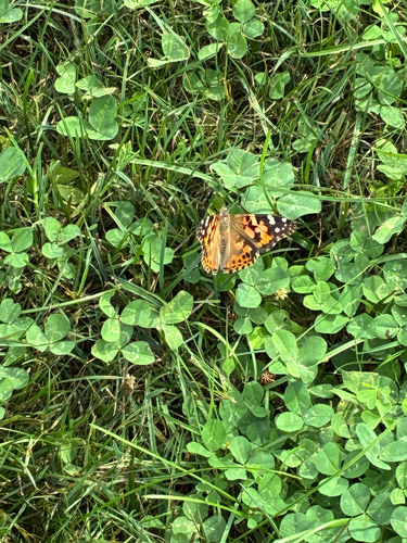
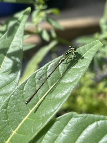
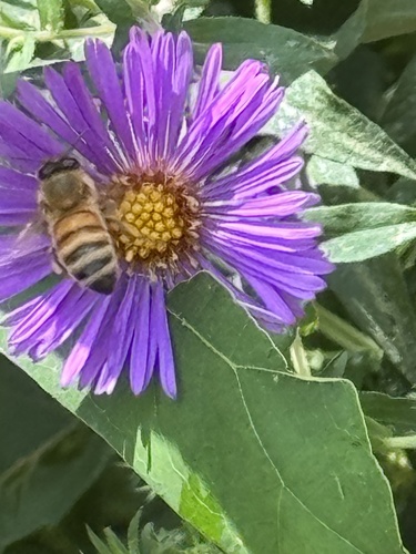
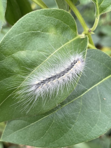
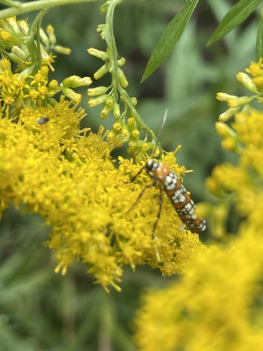
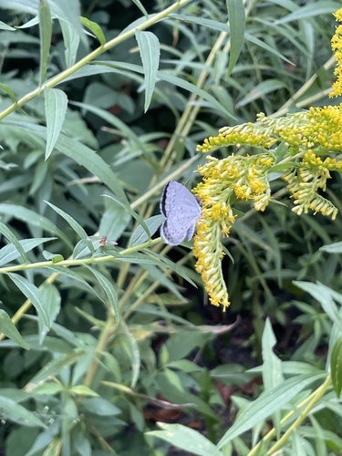
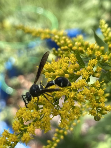
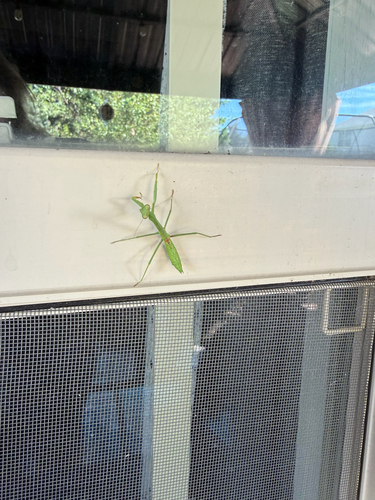
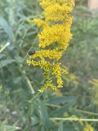
Research-grade observations from iNaturalist (within ~15 mi).
Nearest stream gauge
Events
Gallery
Sources
- • Wikipedia
- • US Census Bureau (ACS 5-year estimates)
- • Wikidata
- • NCES via Urban Institute Education Data Portal
- • iNaturalist
- • CDC PLACES
- • Open-Meteo / sunrise-sunset.org
- • Wikipedia Pageviews API
- • Open Library