Browse / India / Haryana / Sirsa
Sirsa
Haryanacity

Sirsa
Total population
182,500
Demographic figures from Ministry of Statistics (India). Overview below cites Wikipedia and may reference a different year.
City facts
Facts from Wikidata (CC0).
Overview
Sirsa is a city and a municipal council in Sirsa district in the westernmost region of the Indian state of Haryana, bordering Punjab and Rajasthan. It is located near the Thar Desert, 250 kilometres north-west of New Delhi and 260 kilometers south-west of the state capital Chandigarh. Sirsa's nearest cities include Hisar, Fatehabad, Ellenabad, Bhadra, Nohar, Mandi Dabwali and Hanumangarh. Its history dates back to the time of the Mahabharata. At one time, the Sarasvati River flowed in this area.
Read more on WikipediaHistory & geography
History
There are two adjacent archaeological mounds on the southwest side of present-day Sirsa, but archaeologists have not excavated them; therefore, the origins of the settlement at Sirsa remain unknown. However, some isolated discoveries have been made at the Sirsa mounds. The oldest find is a terracotta toy wheel, discovered in 1988, that archaeologists believe dates back to the Iron Age Painted Grey Ware culture ( 1200-600 BCE). Four terracotta figures, including three depicting women and one depicting a tree (possibly a kalpataru motif), are dated to roughly the time of the Maurya and Shunga dynasties. Numerous copper coins of the Yaudheya and Kushan periods have been found at Sirsa, along with various terracotta objects. These include a statue of the Buddha, a 0.6-m-tall sculpture of the goddess Ganga on her mount, a mukhalinga depicting Shiva, a figure of an elephant with a man and woman riding on top, and various others. Three gold coins from the Gupta Empire (one depicting Samudragupta and an unnamed queen consort, one depicting Chandragupta II, and one of Kumaragupta I) have also been found at Sirsa, along with numerous terracotta objects. the surviving part records the construction of a brick temple to Shiva by a Pāśupata acharya named Nīlakaṇṭha.
Geography
Sirsa is located at . It has an average elevation of 205 metres (672 feet).
Excerpted from the corresponding Wikipedia article (CC BY-SA).
Geography
Coordinates & boundaries from the US Census TIGER/Line shapefiles.
Climate
Air quality
Walkability
Amenities nearby
Wildlife & biodiversity
Earthquake history
Photos
Sights & places nearby
Notable people from here


People born within ~10 km, from Wikidata (CC0). Click any name for their Wikipedia article.
Nearby places in Haryana
- Kalanwali20.8 mi away · pop. 25,163
- Ellenabad23.3 mi away · pop. 35,000
- Fatehabad25.1 mi away · pop. 5,000
- Ratia33.9 mi away · pop. 23,821
- Mandi Dabwali35.8 mi away · pop. 5,000
- Bhuna40.1 mi away
- Balsamand41.9 mi away
- Hisar49.3 mi away · pop. 301,240
- Jakhal50.5 mi away
- Uklana50.6 mi away
- Tohana53.4 mi away
- Barwala53.6 mi away · pop. 33,130
Geography & sun
Elevation, sunrise/sunset and daylight from Open-Meteo. Solar climatology from NASA POWER.
Nearby airports
Public attention
Pageview totals from the Wikimedia Pageviews API.
Books about Sirsa
Search results from Open Library.
Recent natural events nearby
Ground air-quality sensors
Recently spotted species
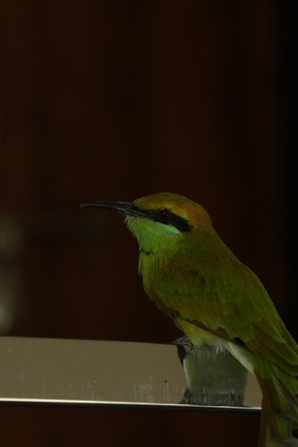
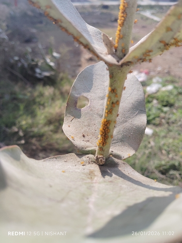
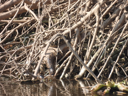
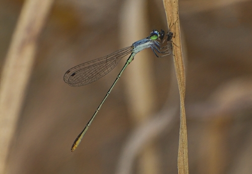
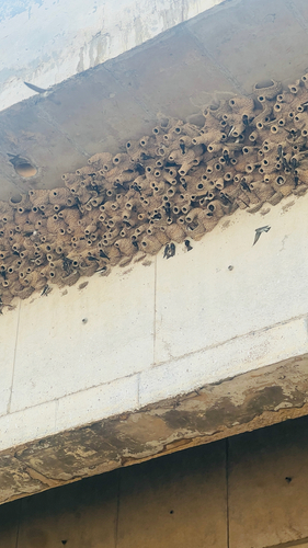
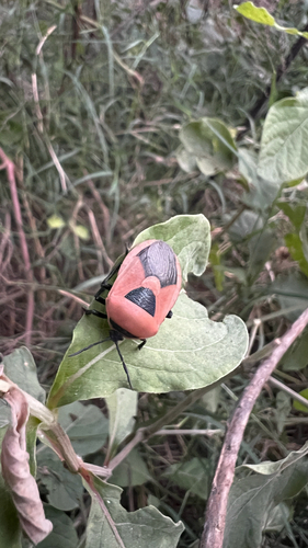
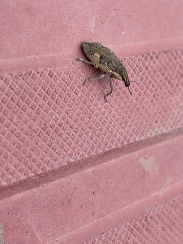
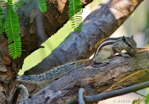
Research-grade observations from iNaturalist (within ~15 mi).
Events
Gallery
Sources
- • Wikipedia
- • Wikidata
- • iNaturalist
- • Open-Meteo / sunrise-sunset.org
- • Wikipedia Pageviews API
- • Open Library