Browse / India / Jammu and Kashmir / Sopore
Sopore
Jammu and Kashmirtown

Sopore
Total population
61,098
Demographic figures from Ministry of Statistics (India). Overview below cites Wikipedia and may reference a different year.
City facts
Facts from Wikidata (CC0).
Overview
Sopore is a city in the Baramulla district of Jammu and Kashmir, India. It is 45 km (28 mi) north-west of Srinagar, and 16 km (10 mi) north-east of Baramulla.
Read more on WikipediaHistory & geography
History
Sopore was earlier known as "Suyyapura" in Antiquity. Suyyapura, founded by a reputed Kashmiri engineer Suyya during the reign of Raja Awantivarma (855-883 A.D.) and commemorating his name, is undoubtedly the town known now as Sopore. J.P. Ferguson, in his book entitled 'Kashmir', remarks, "Suyya stands out as a person hundreds of years in advance of his time". It is because of the technical intelligence and real skill he possessed and applied for draining off the flood water, which could find no outlet and had made the cultivation of land impossible, with the result that famine-like conditions prevailed in the whole of the valley. That is why, in the light of the results achieved by this great engineer, he has been regarded as an incarnation of the Lord of Food himself by the great historian Kalhana in his book 'Rajatarangini'. Suyya's reputation attracted many persons who also settled at the place he resided, and which eventually came to be known as Suyyapura, meaning the place where Suyya settled. With the passage of time and constant use, the pronunciation of the name was distorted into Sopore, by which it is known at present. M.A. Stein, the English translator of Kalhanas 'Rajatarangini' in his book 'Memoir on maps illustrating the Ancient Geography of Kashmir' published in 1899, (p. 208) while writing about Sopore town, remarks: Sopore, which lies a short distance below the point where the Vitasta leaves the Wular, has retained its importance to this day and is still a town of over 8,000 inhabitants. It has, during recent times, been the official headquarters for the whole of Kamraj. From a passage of Srivara, it appears that this had been the case already at an earlier period. Relating a great conflagration which destroyed Suyyapura in Zain-ul-Abidin's…
Excerpted from the corresponding Wikipedia article (CC BY-SA).
Geography
Coordinates & boundaries from the US Census TIGER/Line shapefiles.
Climate
Air quality
Walkability
Amenities nearby
Wildlife & biodiversity
Earthquake history
Photos
Sights & places nearby
Notable people from here
Nearby places in Jammu and Kashmir
- Watergam5.6 mi away · pop. 7,015
- Baramulla8.7 mi away · pop. 58,053
- Hajin8.9 mi away · pop. 13,239
- Pattan10.2 mi away · pop. 19,538
- Langate10.8 mi away · pop. 6,101
- Sumbal11.1 mi away · pop. 15,041
- Handwara12.9 mi away · pop. 13,600
- Bandipora13.7 mi away · pop. 37,081
- Kunzer14.3 mi away · pop. 1,890
- Magam15.3 mi away · pop. 5,470
- Tangmarg15.9 mi away
- Tangmarg16 mi away
Geography & sun
Elevation, sunrise/sunset and daylight from Open-Meteo. Solar climatology from NASA POWER.
Nearby airports
Public attention
Pageview totals from the Wikimedia Pageviews API.
Books about Sopore
Search results from Open Library.
Recent natural events nearby
Ground air-quality sensors
Recently spotted species
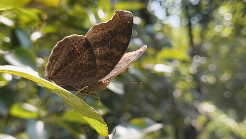
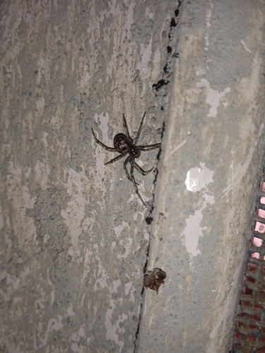
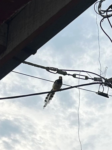
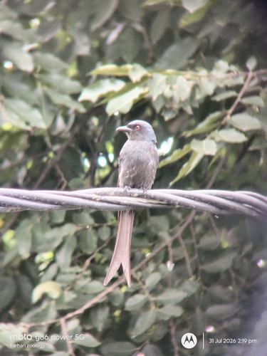
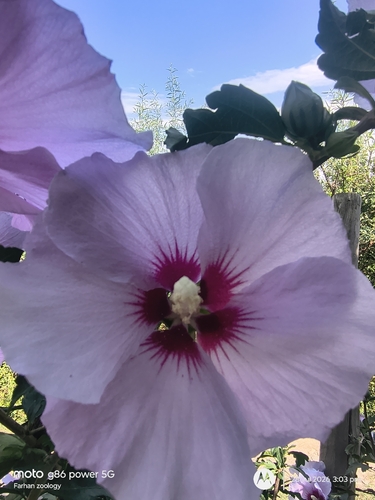
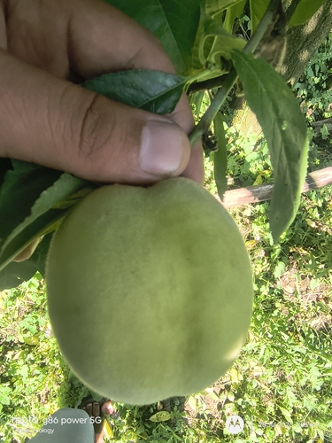
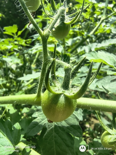
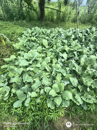

Research-grade observations from iNaturalist (within ~15 mi).
Events
Gallery
Sources
- • Wikipedia
- • Wikidata
- • iNaturalist
- • Open-Meteo / sunrise-sunset.org
- • Wikipedia Pageviews API
- • Open Library