Browse / India / Karnataka / Talaguppa
Talaguppa
Karnatakatown
Total population
5,000
Demographic figures from Ministry of Statistics (India). Overview below cites Wikipedia and may reference a different year.
City facts
Overview
Talaguppa or Taalaguppa is a village located in Sagara Taluk in Karnataka State, India. The National Highway No.69 passes through Talaguppa village. The village is 14.37 km from the taluk's center Sagara, 77.68 km from Shivamogga, and 373 km from Bengaluru. It is located at a distance of 14 km from Jog Falls, the highest waterfall in India and Talaguppa is the linking Railway terminus for Jog falls. Areca nut and paddy are the most grown crops. Main reserve station of electricity generated from jogfalls and linganamakki dam located here.
Read more on WikipediaHistory & geography
Geography
Coordinates & boundaries from the US Census TIGER/Line shapefiles.
Climate
Air quality
Walkability
Amenities nearby
Wildlife & biodiversity
Earthquake history
Photos
Sights & places nearby
Notable people from here
Geography & sun
Elevation, sunrise/sunset and daylight from Open-Meteo. Solar climatology from NASA POWER.
Nearby airports
Public attention
Pageview totals from the Wikimedia Pageviews API.
Books about this place
Recent natural events nearby
Ground air-quality sensors
Recently spotted species
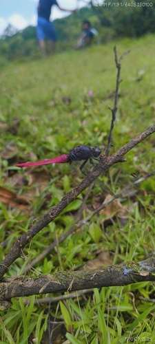
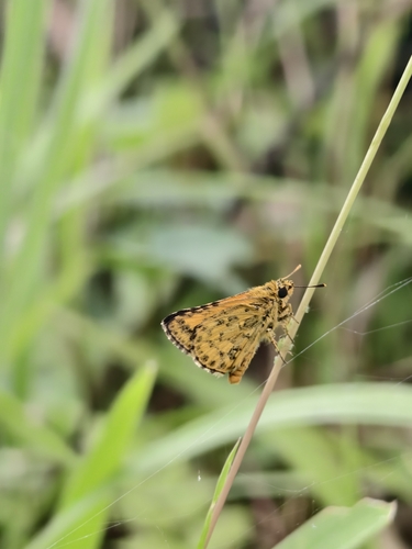
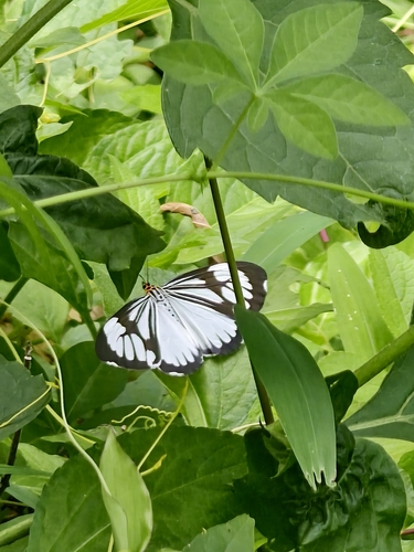
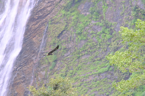
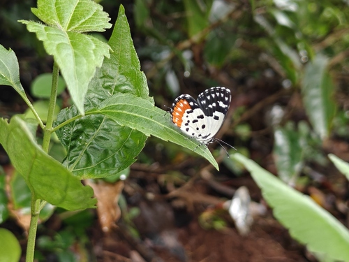
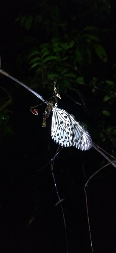
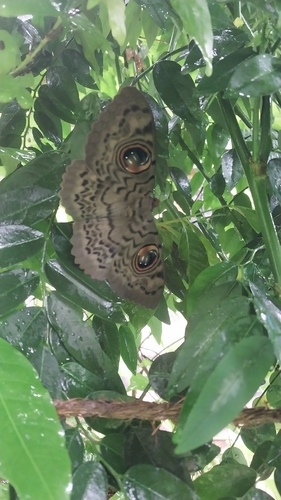
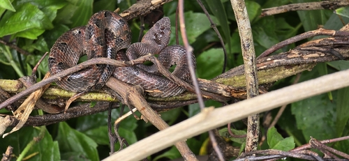
Research-grade observations from iNaturalist (within ~15 mi).
Events
Gallery
Sources
- • Wikipedia
- • Wikidata
- • iNaturalist
- • Open-Meteo / sunrise-sunset.org
- • Wikipedia Pageviews API