Browse / India / Tripura / Teliamura
Teliamura
Tripuratown
No image yet
Land area3.75 km²
Coordinates23.84°, 91.63°
Demographic figures from Ministry of Statistics (India). Overview below cites Wikipedia and may reference a different year.
Loading additional data from public sources…0 / 11
CensusWikipediaWeatherPlacesPeopleEnvironmentHealth & SchoolsRelatedGeography & CultureLive MonitoringEvents & Gallery
0% completeCity facts
Area
3.75 km²
Facts from Wikidata (CC0).
Overview
Teliamura is a town and a Municipal Council in Khowai district in the Indian state of Tripura. It is on National Highway No. 08 of India. It is also the headquarters of the recently included sub-division of Teliamura. It is 45 km from Agartala, Capital of Tripura, 35 km from Khowai and 42 km from Ambassa.
Read more on WikipediaHistory & geography
Geography
Teliamura is located at .
Excerpted from the corresponding Wikipedia article (CC BY-SA).
Geography
Latitude
23.8398
Longitude
91.6265
Water area
—
Coordinates & boundaries from the US Census TIGER/Line shapefiles.
Climate
Air quality
Walkability
Amenities nearby
Wildlife & biodiversity
Earthquake history
Photos
Sights & places nearby
Notable people from here
Nearby places in Tripura
- Khumulwng12 mi away
- Ambassa15.3 mi away · pop. 70,000
- Khowai16.8 mi away
- Gandacherra20.4 mi away · pop. 10,000
- Agartala21.8 mi away · pop. 400,000
- Udaipur22.3 mi away · pop. 37,781
- Amarpur22.5 mi away · pop. 10,838
- Bishramganj23.8 mi away
- Bishalgarh24.6 mi away
- Manu25.8 mi away
- Kamalpur26 mi away · pop. 11,000
- Melaghar30.3 mi away · pop. 20,300
Geography & sun
Nearby airports
Public attention
Books about this place
Recent natural events nearby
Ground air-quality sensors
Recently spotted species
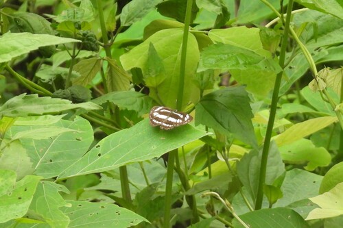
Common Sailer
Neptis hylas
Seen 2026-06-04
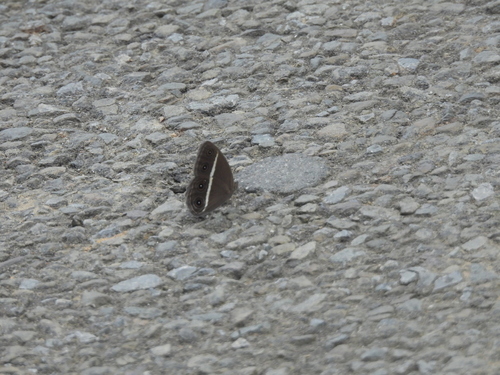
Smooth-eyed Bushbrown
Orsotriaena medus
Seen 2026-06-04
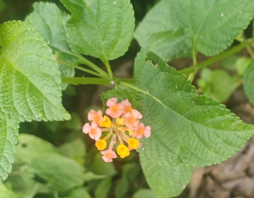
Lantana
Lantana strigocamara
Seen 2026-06-04
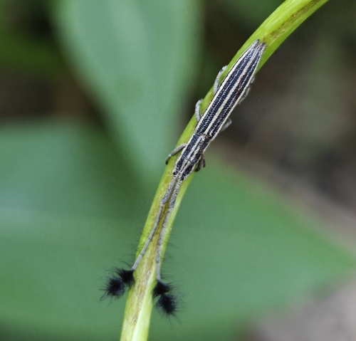
Eucomatocera vittata
Eucomatocera vittata
Seen 2026-06-04
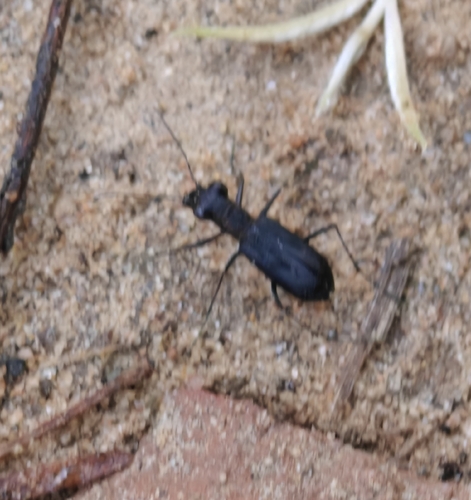
Cylindera viduata
Cylindera viduata
Seen 2026-06-04
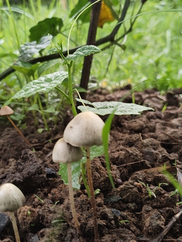
Blue Meanies
Panaeolus cyanescens
Seen 2026-05-26
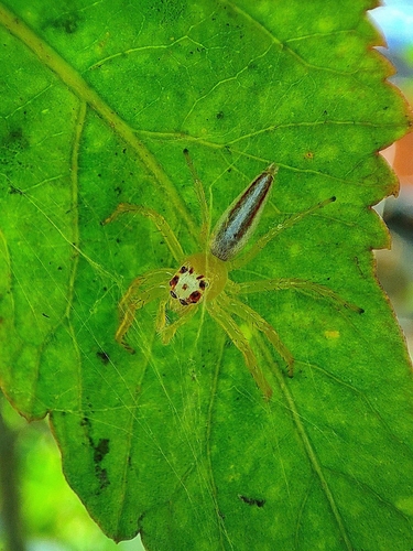
Two-striped Telamonia
Telamonia dimidiata
Seen 2026-03-30
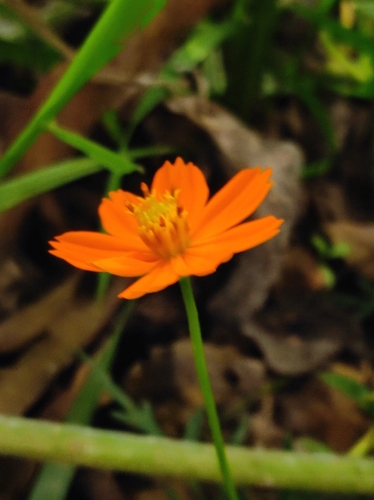
Yellow Cosmos
Cosmos sulphureus
Seen 2026-03-30
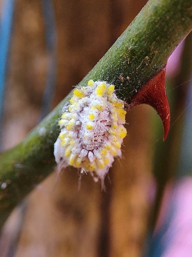
Seychelles Scale
Icerya seychellarum
Seen 2026-03-25
Research-grade observations from iNaturalist (within ~15 mi).
Events
Gallery
Sources
- • Wikipedia
- • Wikidata
- • iNaturalist