Browse / India / Maharashtra / Ter
Ter
Maharashtratown
Air quality index
Demographic figures from Ministry of Statistics (India). Overview below cites Wikipedia and may reference a different year.
City facts
Facts from Wikidata (CC0).
Overview
Ter is a village in Osmanabad district of Maharashtra state, India. It is 17 kilometres (11 mi) from the district headquarters, Osmanabad, 50 kilometres (31 mi) from Latur.
Read more on WikipediaHistory & geography
History
The Periplus of the Erythraean Sea mentions a trading centre called Tagara, which has been identified with modern Ter. There is an ancient miraculous idol of the 24th tirthankara of the Jains, Lord Mahavira, more than 800 years old. The temple has unearthed inscriptions which say that the samavshara of lord Mahavir came to this place. Ter, settled along both banks of the Terna River, is a historically important village in Osmanabad district some 32.19 km (20 miles) from the tehsils headquarters. Its antiquity traces as far back as the Puranas, wherein it is referred to as Satyapuri and in the ancient period of our history as Tagarnagar. It was mentioned in the Periplus of the Erythraean Sea as one of the two pre-eminent centres, along with Pratisthana, in modern Paithan in Aurangabad district. The Periplus says that all kinds of mercantile goods from throughout the Deccan Plateau were brought to Tagara and from there conveyed in carts to Bharuch. It traded with the outside world, especially Greece and Rome; Roman coins recently discovered here lend weight to this fact. It reached the height of its commercial prosperity during the Satavahana period. Ter was the capital of one of the branches of the Silaharas, many of whose seals and coins depicting an elephant giving a bath to Mahalaksmi, the family deity of the silaharas, have been unearthed here. In the same way objects like potsherds, beads, garlands, combs, dolls, conch shells, old bricks and many ivory objects uncovered in the excavations undertaken at Ter and its environs throw valuable light not only on the history of the village but also on the cultural, architectural and various other aspects and accomplishments of the people who inhabited the region in ancient times. Deeper excavations are being…
Excerpted from the corresponding Wikipedia article (CC BY-SA).
Geography
Coordinates & boundaries from the US Census TIGER/Line shapefiles.
Climate
Air quality
Current readings from Open-Meteo Air Quality API (Copernicus CAMS European reanalysis).
Walkability
Amenities nearby
Wildlife & biodiversity
Most-observed species
- Red-vented BulbulPycnonotus cafer (Linnaeus, 1766) · Aves50
- Saxicoloides fulicatus (Linnaeus, 1766)Saxicoloides fulicatus (Linnaeus, 1766) · Aves35
- Common MynaAcridotheres tristis (Linnaeus, 1766) · Aves30
- Ashy PriniaPrinia socialis Sykes, 1832 · Aves30
- Purple SunbirdCinnyris asiaticus (Latham, 1790) · Aves30
- Red-wattled LapwingVanellus indicus (Boddaert, 1783) · Aves28
- Indian Pond-HeronArdeola grayii (Sykes, 1832) · Aves26
- Asian KoelEudynamys scolopaceus (Linnaeus, 1758) · Aves26
Citizen-science & research observations from the Global Biodiversity Information Facility (GBIF).
Earthquake history
Most recent
- M 4 — 2011-09-1911 km NW of Umarga, India
- M 3.6 — 2007-09-0621 km S of Ausa, India
Events from the USGS Earthquake Catalog (global) (FDSN Event Web Service).
Photos
Sights & places nearby
Notable people from here
Nearby places in Maharashtra
- Tuljapur22 mi away · pop. 34,000
- Ausa24.1 mi away · pop. 36,100
- Kaij27.7 mi away · pop. 30,700
- Ambajogai32.7 mi away · pop. 74,000
- Dharur34.6 mi away · pop. 20,400
- Naldurg36 mi away
- Nilanga42 mi away · pop. 36,100
- Paranda45.4 mi away
- Shirur Anantpal45.8 mi away · pop. 40,000
- Wadwani46.8 mi away
- Solapur47.6 mi away · pop. 951,600
- Kurduvadi50.3 mi away · pop. 22,500
Geography & sun
Elevation, sunrise/sunset and daylight from Open-Meteo. Solar climatology from NASA POWER.
Nearby airports
Public attention
Pageview totals from the Wikimedia Pageviews API.
Books about this place
Recent natural events nearby
Ground air-quality sensors
Recently spotted species
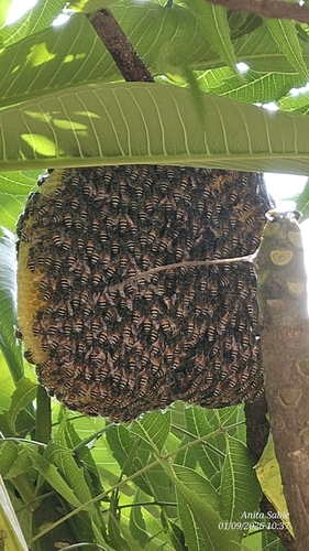
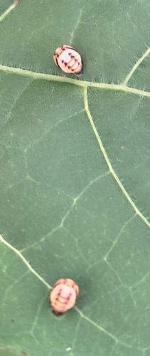
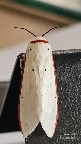
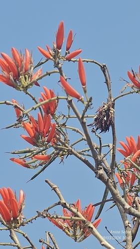
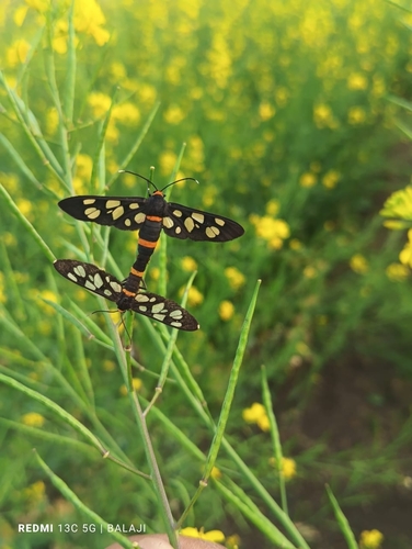
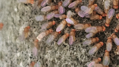
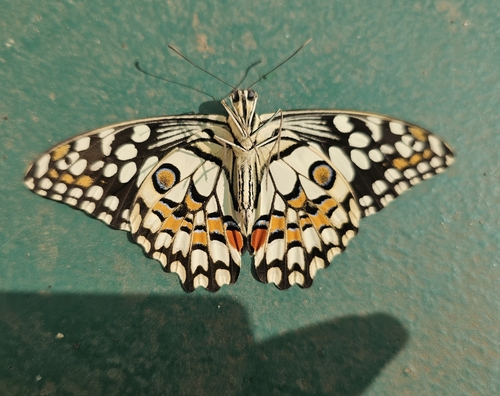
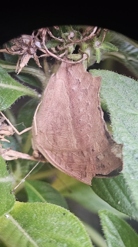
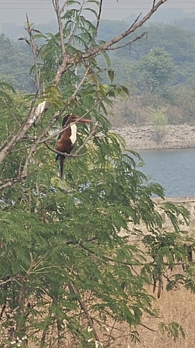
Research-grade observations from iNaturalist (within ~15 mi).
Events
Gallery
Sources
- • Wikipedia
- • Wikidata
- • Open-Meteo Air Quality (CAMS)
- • USGS Earthquake Catalog (global feed)
- • GBIF (Global Biodiversity Information Facility)
- • iNaturalist
- • Open-Meteo / sunrise-sunset.org
- • Wikipedia Pageviews API