Browse / India / Tamil Nadu / Tiruvannamalai
Tiruvannamalai
Tamil Nadutown

Tiruvannamalai
Total population
145,200
Demographic figures from Ministry of Statistics (India). Overview below cites Wikipedia and may reference a different year.
City facts
Overview
Tiruvannamalai is a city and the administrative headquarters of Tiruvannamalai district in the Indian state of Tamil Nadu. It is also a Hindu cultural hub and prominent pilgrimage destination, home to the Arulmigu Annamalaiyar Temple situated along the Annamalai hill, where the monthly Girivalam practice and the annual Karthika Deepam festival attracts thousands.
Read more on WikipediaHistory & geography
History
The history of Tiruvannamalai revolves around the Annamalaiyar Temple. The recorded history of the city dates back to the ninth century, as seen from a Chola inscriptions in the temple. Further inscriptions made before ninth century indicate the rule of Pallava kings, whose capital was Kanchipuram. The seventh century Nayanar saints Sambandar and Appar wrote of the temple in their poetic work, Tevaram. Sekkizhar, the author of the Periyapuranam records both Appar and Sambandar worshiped Annamalaiyar in the temple. The Chola Kings ruled over the region for more than four centuries, from 850 to 1280, and were temple patrons. The inscriptions from the Chola king record various gifts like land, sheep, cow and oil to the temple commemorating various victories of the dynasty. Madhva saint Vadiraja Teertharu of sixteenth century has mentioned about this place in his travelogue work Tirtha Prabandha. The Hoysala kings used Tiruvannamalai as their capital beginning in 1328 as their empire in Karnataka was annexed by the Delhi Sultanate and fought off the invasions from Madurai Sultans and Sultanate governors in the Deccan until 1346. There are 48 inscriptions from the Sangama Dynasty (1336–1485), two inscriptions from Saluva Dynasty (1485–1405), and 55 inscriptions from Tuluva Dynasty (1505–1571) of the Vijayanagara Empire, reflecting gifts to the temple from their rulers. There are also inscriptions from the rule of Krishnadeva Raya (1509–1529), the most powerful Vijayanagara emperor, indicating further patronage. The inscriptions in the temple from the Vijayanagara kings indicate emphasis on administrative matters and local concerns, which contrasts the inscriptions of the same rulers in other temples like Tirupathi. The majority of the gift related inscriptions are for land…
Geography
Tiruvannamalai is situated from the state capital Chennai and from Bangalore. The height of the Annamalai hill is approximately . Tiruvannamalai is located at . It has an average elevation of . The city is located to the east of Eastern Ghats. The topography of Tiruvannamalai is almost plain sloping from west to east. The temperature ranges from a maximum of to a minimum of . Like the rest of the state, April to June are the hottest months and December to January are the coldest. Tiruvannamalai receives scanty rainfall with an average of annually, which is lesser than the state average of . The southwest monsoon with an onset in June and lasting up to August brings scanty rainfall. Bulk of the rainfall is received during the northeast monsoon in the months of October, November and December. The average humidity of the city is 77% and varies between 67% and 86%. During the summer months of April to June, the humidity ranges from 47% to 63%. The municipality covers an area of .
Excerpted from the corresponding Wikipedia article (CC BY-SA).
Geography
Coordinates & boundaries from the US Census TIGER/Line shapefiles.
Climate
Air quality
Walkability
Amenities nearby
Wildlife & biodiversity
Most-observed species
- Black DrongoDicrurus macrocercus Vieillot, 1817 · Aves823
- Red-vented BulbulPycnonotus cafer (Linnaeus, 1766) · Aves804
- Common MynaAcridotheres tristis (Linnaeus, 1766) · Aves792
- Purple SunbirdCinnyris asiaticus (Latham, 1790) · Aves690
- White-browed BulbulPycnonotus luteolus (Lesson, 1841) · Aves662
- Indian Pond-HeronArdeola grayii (Sykes, 1832) · Aves631
- Large-billed CrowCorvus macrorhynchos Wagler, 1827 · Aves630
- White-throated KingfisherHalcyon smyrnensis (Linnaeus, 1758) · Aves624
Citizen-science & research observations from the Global Biodiversity Information Facility (GBIF).
Earthquake history
Events from the USGS Earthquake Catalog (global) (FDSN Event Web Service).
Photos
Sights & places nearby
Notable people from here


People born within ~10 km, from Wikidata (CC0). Click any name for their Wikipedia article.
Nearby places in Tamil Nadu
Geography & sun
Elevation, sunrise/sunset and daylight from Open-Meteo. Solar climatology from NASA POWER.
Nearby airports
Public attention
Pageview totals from the Wikimedia Pageviews API.
Books about Tiruvannamalai

Search results from Open Library.
Recent natural events nearby
Ground air-quality sensors
Recently spotted species
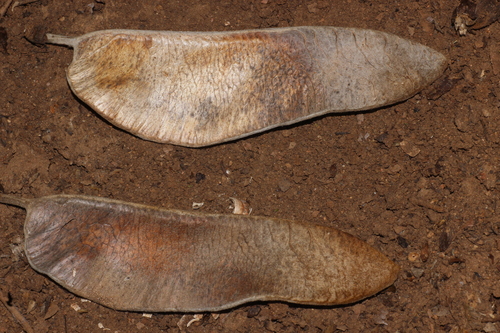
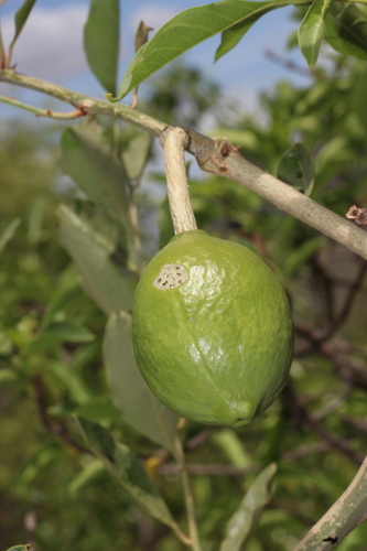
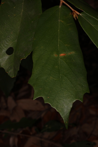
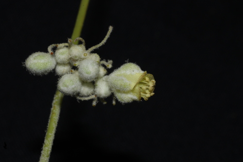
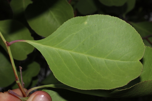
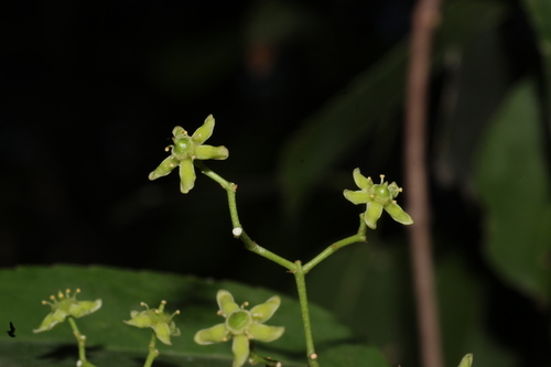
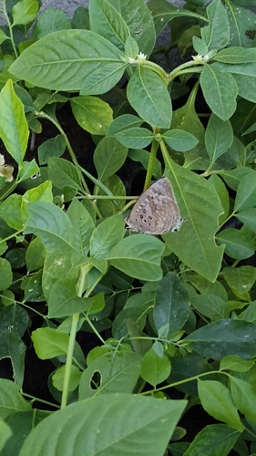
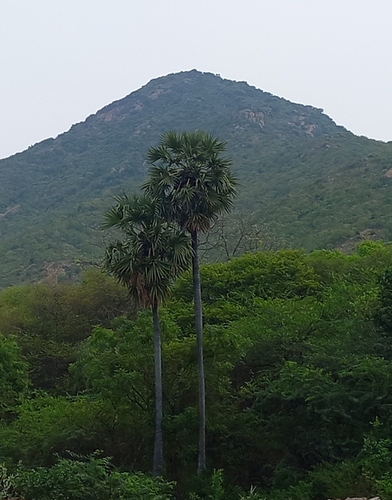
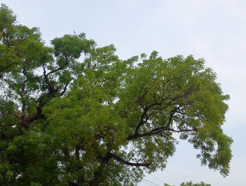
Research-grade observations from iNaturalist (within ~15 mi).
Events
Gallery
Geotagged photos within ~6 miles of Tiruvannamalai, from Wikimedia Commons contributors.
 0.3 mi
.JPG) 0.4 mi
0.4 mi 0.4 mi
 0.4 mi
 0.4 mi
 0.4 mi
.jpg) 0.4 mi
0.4 mi.jpg) 0.4 mi
0.4 mi.jpg) 0.4 mi
0.4 mi.JPG) 0.5 mi
0.5 mi.jpg) 0.5 mi
0.5 mi 0.5 mi
 0.5 mi
 0.5 mi
 0.5 mi
 0.5 mi
 0.5 mi
 0.5 mi
 0.5 mi
 0.5 mi
 0.5 mi
 0.5 mi
 0.5 mi
 0.5 mi
Photos via Wikimedia Commons — see each image page for license & attribution.
Sources
- • Wikipedia
- • Wikimedia Commons
- • Wikidata
- • USGS Earthquake Catalog (global feed)
- • GBIF (Global Biodiversity Information Facility)
- • iNaturalist
- • Open-Elevation
- • Open-Meteo / sunrise-sunset.org
- • Wikipedia Pageviews API
- • Open Library