Browse / India / Andhra Pradesh / Tuni
Tuni
Andhra Pradeshtown

Tuni
Total population
53,425
Demographic figures from Ministry of Statistics (India). Overview below cites Wikipedia and may reference a different year.
City facts
Facts from Wikidata (CC0).
Overview
Tuni is a city in Kakinada district of the Indian state of Andhra Pradesh. It is the second biggest city in Kakinada district. Freedom fighter Alluri Sitaramaraju studied here. It is a commercial marketing centre for more than 200 surrounding villages in the district. Tuni is a border point for the district of Kakinada. It is known for mango production, with nearly 250 varieties being exported from the area; Tuni City is known as "Mango City". Tuni is also known for the production of betel leaves and jute bags. A variety of cashew nuts are produced in Tuni.
Read more on WikipediaHistory & geography
History
Before starting to be known as Tuni, it was called Tundi during the Vishnukundina dynasty period. Tuni as a historical site may date back to the 1st century CE in connection with Buddhism, which flourished in the nearby hillocks and villages such as Gopalapatnam, Satyavaram and Kummarilova, near the city of Tuni on the banks of the Thandava River. The Buddhist monks would have resided in Kummarilova village (Kummararam) from the 2nd century CE to 6th century CE and propagated Buddhism. The Buddhist aramas and stupas found in the village are testimony for their presence, they said. This village is called "Panchasheela Buddhist Centre" as five Buddhist stupas have been found here. Archaeologists found a Buddhist site at Kummarilova during a general survey carried out recently in the area. Under the Kshatriyas of Vatsavai Dynasty, it was a Pargana (a sub-division in 15th century) in Keemarseema. After the division it became the capital of Kottam Estate. Tuni has been a marketplace since the 19th century CE. The Tuni Railway station was important for the Howrah-Madras railway line during the time of British India and after Independence. Raja Kalasala is one of the oldest schools in Tuni with a history of more than 100 years. A guerrilla war fighter during the Indian independence movement, Alluri Sitarama Raju, studied here. A statue of him was built at a junction.
Geography
Tuni is at 17.35°N 82.55°E. It has an average elevation of 16 metres (46 ft)
Excerpted from the corresponding Wikipedia article (CC BY-SA).
Geography
Coordinates & boundaries from the US Census TIGER/Line shapefiles.
Climate
Air quality
Walkability
Amenities nearby
Wildlife & biodiversity
Earthquake history
Photos
Sights & places nearby
Notable people from here
Geography & sun
Elevation, sunrise/sunset and daylight from Open-Meteo. Solar climatology from NASA POWER.
Nearby airports
Public attention
Pageview totals from the Wikimedia Pageviews API.
Books about this place
Recent natural events nearby
- Tropical Cyclone 01BSevere Storms · 2026-09-23 · 100 mi
Wildfires, storms and other events from NASA EONET (last 12 months, within 250 mi).
Ground air-quality sensors
Recently spotted species
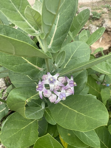
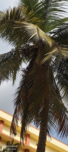

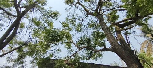
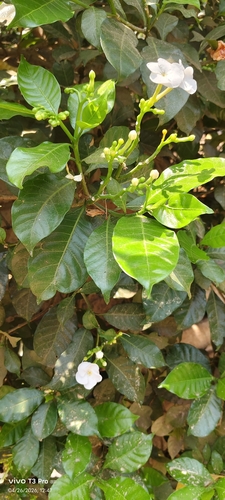
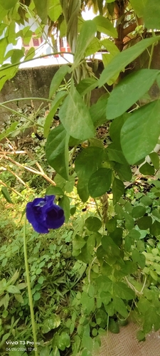
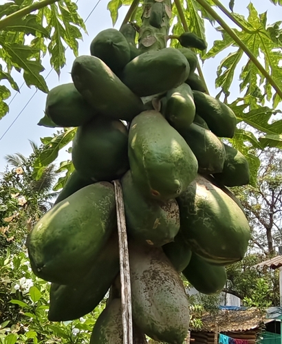
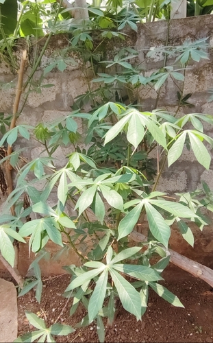
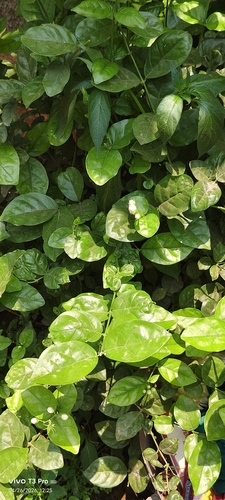
Research-grade observations from iNaturalist (within ~15 mi).
Events
Gallery
Official Identifiers
Local Government Directory (India)
- LGD code
- 802950
- Population (Wikidata)
- 254,425
- Wikidata
- Q2576041
LGD code via Wikidata P5578
Sources
- • Wikipedia
- • Wikidata
- • iNaturalist
- • Open-Meteo / sunrise-sunset.org
- • Wikipedia Pageviews API
- • NASA EONET
- • Local Government Directory (India) — LGD code via Wikidata P5578