Browse / India / Jammu and Kashmir / Uri
Uri
Jammu and Kashmirtown

Uri
Total population
9,366
Demographic figures from Ministry of Statistics (India). Overview below cites Wikipedia and may reference a different year.
City facts
Facts from Wikidata (CC0).
Overview
Uri is a town and a tehsil in the Baramulla district, in the Indian union territory of Jammu and Kashmir. Uri is located on the left bank of the Jhelum River, about 10 kilometres (6.2 mi) east of the Line of Control with Pakistan.
Read more on WikipediaHistory & geography
History
Hari Singh Nalwa (r. 1820–1823), the Sikh commander-administrator of Maharaja Ranjit Singh, built the fort of Uri. Following the First Anglo-Sikh War (1845–1846) and the Treaty of Amritsar (1846), Raja Gulab Singh was proclaimed the Maharaja of Jammu and Kashmir, acquiring all the lands between the Ravi River and the Indus. Uri became a tehsil in the Muzaffarabad district of the Kashmir province. On 22 October 1947, the tribal invasion led to the fall of Muzaffarabad and Uri to the Pashtun tribes from Pakistan. The raiders then halted at Baramulla. Following the accession of the Maharaja to India on 26 October, India air lifted troops to the Kashmir Valley, who retook Baramulla and Uri by mid-November. The Indian government attached utmost importance to the defence of Uri. Muzaffarabad, on the other hand, came under Pakistani control and became the capital of Azad Kashmir. The tehsil of Uri was subsequently merged into the Baramulla district. In July, 2022 the SIA conducted raids on Uri because it was under militant control. At around 5:30 a.m. on 18 September 2016, four Jaish-e-Mohammed terrorists attacked an Indian Army Brigade headquarters at Uri near the Line of Control. They are said to have lobbed 17 grenades in 3 minutes. A rear administrative base camp with tents caught fire and 17 army personnel were killed. A six-hour gun battle ensued, during which all four terrorists were killed. An additional 19-30 soldiers were reportedly injured in the attack.
Excerpted from the corresponding Wikipedia article (CC BY-SA).
Geography
Coordinates & boundaries from the US Census TIGER/Line shapefiles.
Climate
Air quality
Walkability
Amenities nearby
Wildlife & biodiversity
Earthquake history
Photos
Sights & places nearby
Notable people from here
Nearby places in Jammu and Kashmir
- Chakothi8.7 mi away
- Forward Kahuta14.7 mi away · pop. 152,124
- Goharabad16.1 mi away
- Bagh16.5 mi away · pop. 371,919
- Hattian Bala17.4 mi away
- Abbaspur19.2 mi away
- Baramulla19.7 mi away · pop. 58,053
- Khai Gala20.3 mi away
- Chikkar20.7 mi away
- Rawalakot22.2 mi away · pop. 56,006
- Tangmarg22.5 mi away
- Poonch22.5 mi away · pop. 22,516
Geography & sun
Elevation, sunrise/sunset and daylight from Open-Meteo. Solar climatology from NASA POWER.
Nearby airports
Public attention
Pageview totals from the Wikimedia Pageviews API.
Books about Uri
Search results from Open Library.
Recent natural events nearby
Ground air-quality sensors
Recently spotted species
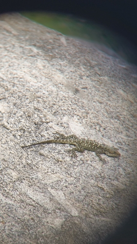
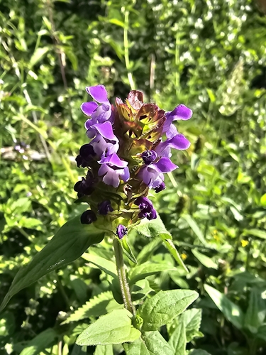
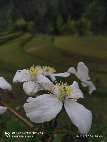
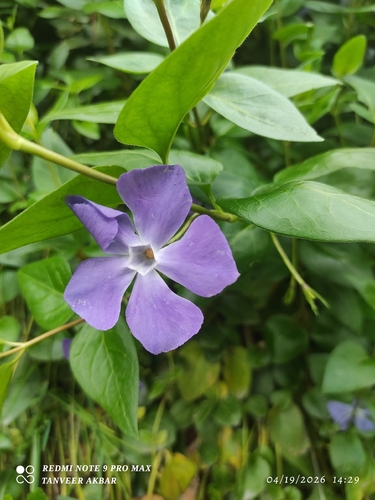
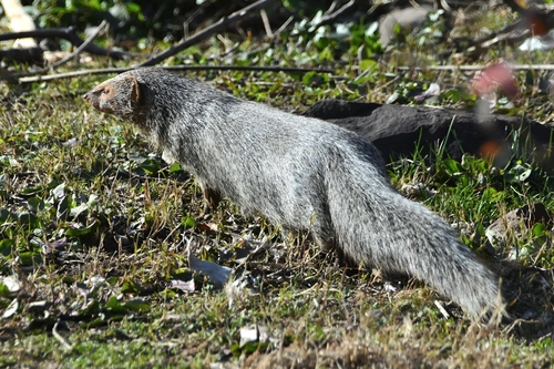
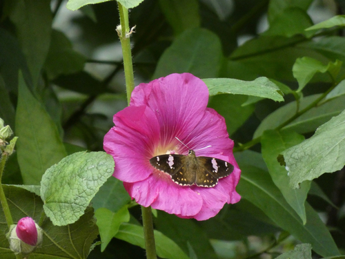
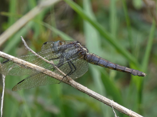
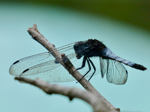
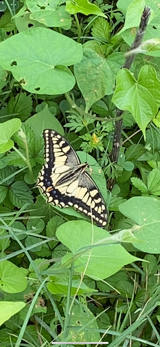
Research-grade observations from iNaturalist (within ~15 mi).
Events
Gallery
Sources
- • Wikipedia
- • Wikidata
- • iNaturalist
- • Open-Meteo / sunrise-sunset.org
- • Wikipedia Pageviews API
- • Open Library