Browse / United States / Indiana / Utica
Utica
Indianatown

Utica
Total population
1,028
Median home value
$241,300
Bachelor's+
Median income
$84,886
Demographic figures from US Census Bureau · ACS 5-year estimates. Overview below cites Wikipedia and may reference a different year.
City facts
Facts from Wikidata (CC0).
Overview
Utica is a town in Utica Township, Clark County, Indiana, United States. It lies adjacent to major infrastructure: the Interstate 265 bridge across the Ohio, the nearby Port of Indiana – Jeffersonville, and the River Ridge Commerce Center. These developments shape its land-use environment and limit the town's potential for large-scale growth.
Read more on WikipediaHistory & geography
History
From 1794 to 1825, Utica served as a key ferry crossing of the Ohio River. Its location provided a safer alternative to the river crossings at Jeffersonville, where the nearby Falls of the Ohio presented navigational hazards. James Noble Wood was the first ferryman and founder of Utica. In 1801 he was appointed by Governor W. H. Harrison as one of the justices of the court of general quarter of Clarke of the Territory of Indiana at Springville, Indiana. In 1997, the town experienced significant flooding. In response, local officials strengthened building, planning and zoning regulations as a condition of receiving federal and state disaster-recovery assistance. In the years following settlement, Utica became a starting point for several interior roads leading into southern Indiana. Among the earliest was the Utica and Salem Road, opened about 1820 and running northwest through New Providence and the uplands toward Salem in Washington County. Portions of the route followed older traces used as early as 1810 between Blue Lick and Flowers Gap, providing one of the first reliable passages across the Knobstone Ridge. Other early roads connected Utica to Madison in Jefferson County and to the early seat of Scott County, forming the nucleus of Clark County's overland travel network.
Geography
According to the 2010 census, Utica has a total area of , of which (or 87.71%) is land and (or 12.29%) is water.
Excerpted from the corresponding Wikipedia article (CC BY-SA).
Demographics & economy
Race & ethnicity
Source: US Census Bureau — American Community Survey, 5-year estimates.
Geography
Coordinates & boundaries from the US Census TIGER/Line shapefiles.
Climate
Air quality
Industrial & pollution facilities
Natural hazard risk
Health (adults)
Age-adjusted prevalence estimates from CDC PLACES (latest release).
Walkability
Amenities nearby
Wildlife & biodiversity
Most-observed species
- Northern CardinalCardinalis cardinalis (Linnaeus, 1758) · Aves33,078
- American RobinTurdus migratorius Linnaeus, 1766 · Aves30,982
- Blue JayCyanocitta cristata (Linnaeus, 1758) · Aves25,112
- Mourning DoveZenaida macroura (Linnaeus, 1758) · Aves23,665
- Carolina ChickadeePoecile carolinensis (Audubon, 1834) · Aves22,804
- Tufted TitmouseBaeolophus bicolor (Linnaeus, 1766) · Aves21,835
- Carolina WrenThryothorus ludovicianus (Latham, 1790) · Aves21,533
- Song SparrowMelospiza melodia (A.Wilson, 1810) · Aves21,440
Citizen-science & research observations from the Global Biodiversity Information Facility (GBIF).
Schools
Largest nearby schools
- Indiana Gateway Digital AcademyOther · Clarksville · 2,617 students · 30.8:1 ratio
- Jeffersonville High SchoolHigh · Jeffersonville · 2,130 students · 17.8:1 ratio
- Silver Creek High SchoolHigh · Sellersburg · 935 students · 17:1 ratio
- Silver Creek Elementary SchoolElementary · Sellersburg · 899 students · 18.7:1 ratio
- River Valley Middle SchoolMiddle · Jeffersonville · 850 students · 14.4:1 ratio
- Charlestown Senior High SchoolHigh · Charlestown · 788 students · 16.4:1 ratio
- Silver Creek Middle SchoolMiddle · Sellersburg · 760 students · 17.7:1 ratio
- Parkview Middle SchoolMiddle · Jeffersonville · 713 students · 14.6:1 ratio
Public K–12 schools within ~10 mi from Urban Institute Education Data Portal (NCES Common Core of Data, 2022).
Earthquake history
Photos
Sights & places nearby
Notable people from here


People born within ~10 km, from Wikidata (CC0). Click any name for their Wikipedia article.
Nearby places in Indiana
Geography & sun
Elevation, sunrise/sunset and daylight from Open-Meteo. Solar climatology from NASA POWER.
Nearby airports
Public attention
Pageview totals from the Wikimedia Pageviews API.
Books about Utica

Search results from Open Library.
Recent natural events nearby
Ground air-quality sensors
Recently spotted species
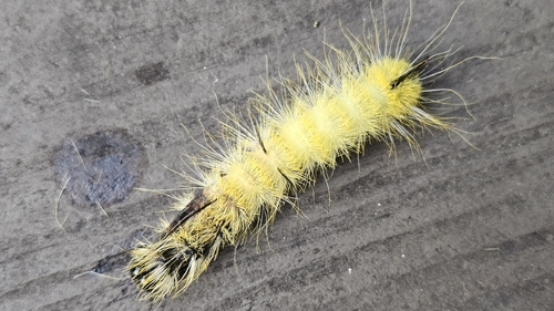
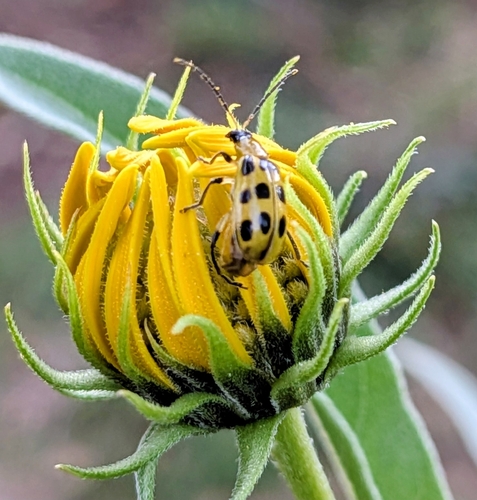
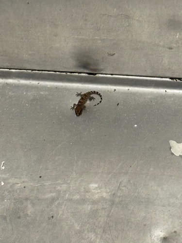
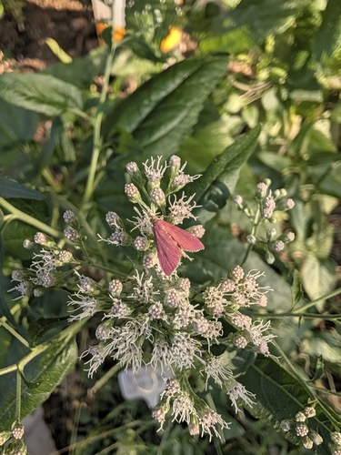
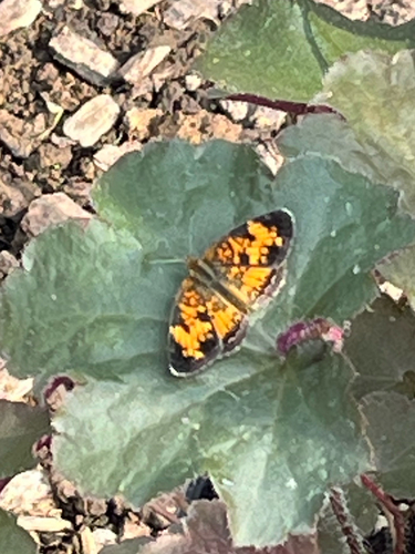
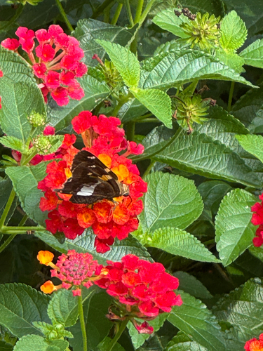
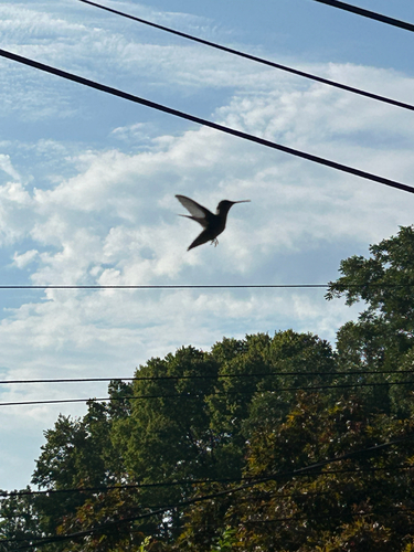
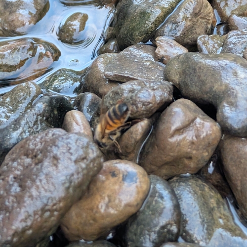
Research-grade observations from iNaturalist (within ~15 mi).
Nearest stream gauge
Events
Gallery
Sources
- • Wikipedia
- • US Census Bureau (ACS 5-year estimates)
- • Wikidata
- • NCES via Urban Institute Education Data Portal
- • GBIF (Global Biodiversity Information Facility)
- • iNaturalist
- • CDC PLACES
- • Open-Meteo / sunrise-sunset.org
- • Wikipedia Pageviews API
- • Open Library