Browse / India / Maharashtra / Vairag
Vairag
Maharashtratown
Total population
45,000
Demographic figures from Ministry of Statistics (India). Overview below cites Wikipedia and may reference a different year.
City facts
Overview
Vairag is a town in Barshi Taluka of Solapur district in Maharashtra, India. The village is located centrally between Solapur and Barshi.
Read more on WikipediaHistory & geography
History
Vairag is full of ancient temples. The village is well known for its Aanand bazaar and livestock (bullock) market. The first Prime Minister of India Pandit Jawaharlal Nehru also visited the village. The village hosts a large fair (Jatra) in honour of Shri. Santanath Maharaj carnival (Yatra) in August, on the day of Narali-Pournima.. Public entertainment on day includes Lezim, Jazz-Pathak, Dhol-Tasha etc.
Geography
Sasure (5 km), Ghanegaon (5 km), Sarjapur (5 km), Ladole (6 km), Irle (6 km), Tulshidas Nagar (2 km), Manegav (2 km) Ratanjan (5 km) are the nearby villages. Vairag is surrounded by Mohol Taluka on the south, Osmanabad Taluka and Tuljapur Taluka towards the east, and Madha Taluka towards the west. Barshi, Osmanabad, Tuljapur, Solapur, Pandharpur, Mohol, and Kurduvadi are the nearest towns and cities to the village.
Excerpted from the corresponding Wikipedia article (CC BY-SA).
Geography
Coordinates & boundaries from the US Census TIGER/Line shapefiles.
Climate
Air quality
Walkability
Amenities nearby
Wildlife & biodiversity
Earthquake history
Photos
Sights & places nearby
Notable people from here
People born within ~10 km, from Wikidata (CC0). Click any name for their Wikipedia article.
Geography & sun
Elevation, sunrise/sunset and daylight from Open-Meteo. Solar climatology from NASA POWER.
Nearby airports
Public attention
Pageview totals from the Wikimedia Pageviews API.
Books about this place
Recent natural events nearby
Ground air-quality sensors
Recently spotted species
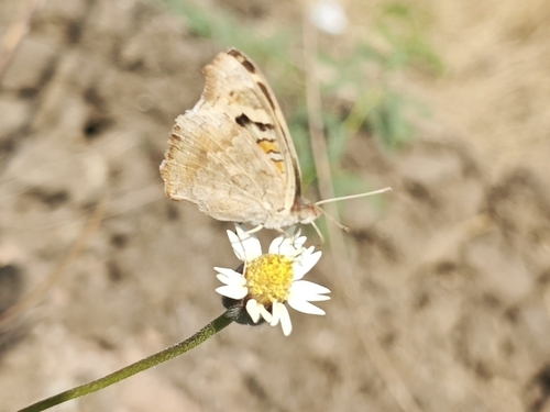
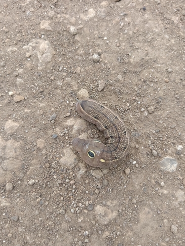
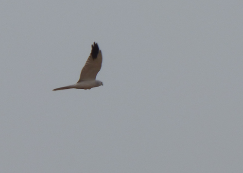
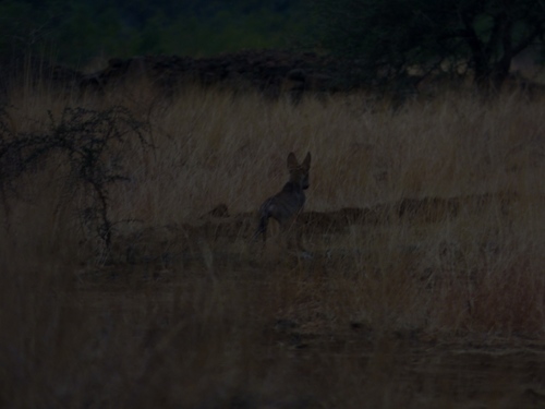
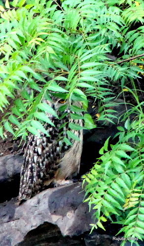
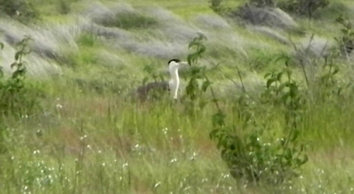
Research-grade observations from iNaturalist (within ~15 mi).
Events
Gallery
Sources
- • Wikipedia
- • Wikidata
- • iNaturalist
- • Open-Meteo / sunrise-sunset.org
- • Wikipedia Pageviews API