Browse / India / Andhra Pradesh / Vijayawada
Vijayawada
Andhra Pradeshcity

Vijayawada
Total population
1,048,240
Air quality index
Demographic figures from Ministry of Statistics (India). Overview below cites Wikipedia and may reference a different year.
City facts
Sister cities
Facts from Wikidata (CC0).
Overview
Vijayawada, also called as Bezawada, is the second largest city and a major commercial hub in the Indian state of Andhra Pradesh. The city forms an integral part of the Andhra Pradesh Capital Region and is situated on the banks of the Krishna River, flanked by the Eastern Ghats and the Indrakeeladri Hills.
Read more on WikipediaHistory & geography
History
Bezawada (as Vijayawada was known then) was founded around 626 A.D. by Paricchedi Kings. Vijayawada history reveals that Bezawada (Vijayawada) was ruled by King Madhava Varma (one of the kings of Vishnukundina dynasty). Chinese Buddhist scholar Xuanzang stayed a few years in Bezawada (Vijayawada) in around 640 A.D. to copy and study the Abhidhamma Pitaka, the last of the three pitakas (Pali for baskets) constituting the Pali canon, the scriptures of Theravada Buddhism. Mogalrajapuram hills have five rock-cut temples, built during the fourth–ninth centuries. Some of the caves can be attributed to Vishnukundina dynasty. Akkana Madanna Caves, at the foot of Indrakeeladri Hill, is a monument of national importance. At the foot of Indrakeeladri hills is the temple of Malleswara. The temple has inscriptions dating back to ninth century AD to 16th century AD by various kings. There are ten pillars and a mutilated slab (recognised as monuments by Archaeological Survey of India) with inscriptions in the Telugu language. Of them, the inscriptions issued by Yudhamalla I and II of Eastern Chalukyas are important.
Geography
Vijayawada lies on the banks of Krishna river, covered by hills and canals. and at an altitude of above sea level. Three canals originating from the north side of the Prakasam Barrage reservoir — Eluru, Bandar, and Ryves — flow through the city. Vijayawada has a tropical wet and dry climate (Köppen Aw). The annual mean temperatures range between ; with maximum temperatures often crossing in the month of May and the minimum in December and January. The highest maximum temperature ever recorded was in May 2002. May is the hottest and January is the coldest month of the year. It receives rainfall from the South-west and North-east monsoons }}Vijayawada has been ranked the sixth best "National Clean Air City" (under Category 1 >10L Population cities) in India.
Excerpted from the corresponding Wikipedia article (CC BY-SA).
Geography
Coordinates & boundaries from the US Census TIGER/Line shapefiles.
Climate
10-year averages from ERA5 reanalysis (Open-Meteo).
Air quality
Current readings from Open-Meteo Air Quality API (Copernicus CAMS European reanalysis).
Walkability
Amenities nearby
Wildlife & biodiversity
Most-observed species
- Red-vented BulbulPycnonotus cafer (Linnaeus, 1766) · Aves699
- Black DrongoDicrurus macrocercus Vieillot, 1817 · Aves656
- White-throated KingfisherHalcyon smyrnensis (Linnaeus, 1758) · Aves605
- Rose-ringed ParakeetPsittacula krameri (Scopoli, 1769) · Aves583
- Spotted doveSpilopelia chinensis (Scopoli, 1786) · Aves582
- Purple-rumped SunbirdLeptocoma zeylonica (Linnaeus, 1766) · Aves547
- Purple SunbirdCinnyris asiaticus (Latham, 1790) · Aves539
- Ashy PriniaPrinia socialis Sykes, 1832 · Aves520
Citizen-science & research observations from the Global Biodiversity Information Facility (GBIF).
Earthquake history
Most recent
- M 4.5 — 2020-01-2532 km SW of Jaggayyapeta, India
Events from the USGS Earthquake Catalog (global) (FDSN Event Web Service).
Photos
Sights & places nearby
Notable people from here


People born within ~10 km, from Wikidata (CC0). Click any name for their Wikipedia article.
Nearby places in Andhra Pradesh
Geography & sun
Elevation, sunrise/sunset and daylight from Open-Meteo. Solar climatology from NASA POWER.
Nearby airports
Public attention
Pageview totals from the Wikimedia Pageviews API.
Books about Vijayawada
Search results from Open Library.
Recent natural events nearby
- Tropical Cyclone 01BSevere Storms · 2026-09-24 · 231 mi
Wildfires, storms and other events from NASA EONET (last 12 months, within 250 mi).
Ground air-quality sensors
Recently spotted species
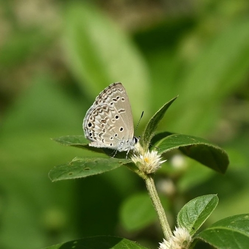
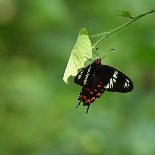
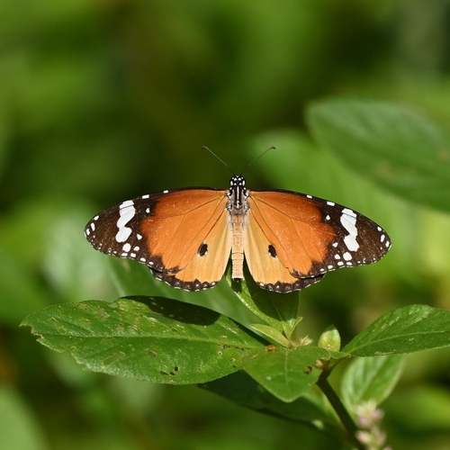
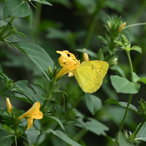
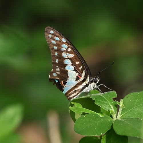
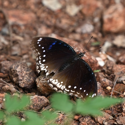
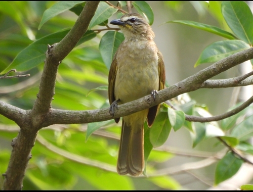
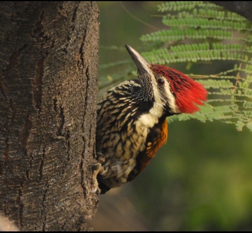
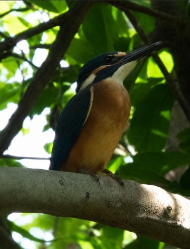
Research-grade observations from iNaturalist (within ~15 mi).
Events
Gallery
Geotagged photos within ~6 miles of Vijayawada, from Wikimedia Commons contributors.
 0 mi
0 mi 0.1 mi
 0.1 mi
.jpg) 0.1 mi
0.1 mi.jpg) 0.1 mi
0.1 mi.jpg) 0.1 mi
0.1 mi.jpg) 0.1 mi
0.1 mi 0.1 mi
 0.1 mi
 0.2 mi
 0.2 mi
 0.2 mi
 0.2 mi
 0.2 mi
 0.2 mi
 0.2 mi
 0.2 mi
 0.2 mi
.jpg) 0.2 mi
0.2 mi.jpg) 0.2 mi
0.2 mi_2.jpg) 0.2 mi
0.2 mi_3.jpg) 0.2 mi
0.2 mi_1.jpg) 0.2 mi
0.2 mi 0.2 mi
Photos via Wikimedia Commons — see each image page for license & attribution.
Official Identifiers
Local Government Directory (India)
- LGD code
- 802969
- Population (Wikidata)
- 1,048,240
- Wikidata
- Q200017
LGD code via Wikidata P5578
Sources
- • Wikipedia
- • Open-Meteo (ERA5 reanalysis)
- • Wikimedia Commons
- • Wikidata
- • Open-Meteo Air Quality (CAMS)
- • USGS Earthquake Catalog (global feed)
- • GBIF (Global Biodiversity Information Facility)
- • iNaturalist
- • Open-Meteo / sunrise-sunset.org
- • Wikipedia Pageviews API
- • Open Library
- • NASA EONET
- • Local Government Directory (India) — LGD code via Wikidata P5578