Browse / India / Karnataka / Vitla
Vitla
Karnatakatown

Vitla
Demographic figures from Ministry of Statistics (India). Overview below cites Wikipedia and may reference a different year.
City facts
Overview
Vitla also Vittal is a town in Bantwal taluk of Dakshina Kannada district, India, around 18 km from Bantwal in Bantwal Taluk. It is also 14 km from Puttur and 40 km from Mangalore. Vitla was an assembly constituency of Karnataka Legislative Assembly, but discontinued from 2008 elections. Agriculture is the main occupation of people in and around Vitla town. Arecanut, cocoa, pepper, Cashew and coconut are grown here. There is a regional station of Central Plantation Crops Research Institute (CPCRI) which conducts research on areca nuts, an important commercial crop in the area. It also researches cocoa growing, including its production, protection and increasing drought resistance.
Read more on WikipediaHistory & geography
History
History speaks of the Vittal king Achuta Heggade who was overhauled by Hyder Ali. The former was supported by the British and was residing in Talacheri. Achuta would visit Vittal occasionally to regroup his men and fight Hyder Ali. For this, he had to lose his life. Hyder Ali had him hanged to death. His palace in Vittal is on a land with a large magnificent stone-carved door. The ancient foundation has round towers and even had a stable. Ravivarma Narasimha Domba Heggade, the successor of Achuta Heggade kindled the sparks for the first revolt against the British who were ruling coastal Karnataka after the death of Tipu. But Domba Heggade was hanged by the British. The foreigners took possession of all that Vittal Heggade owned, except the personal property and wealth. In return, the Englishmen paid an annual royalty. The descendants of the royal family still live in the palace. In 1783, the family went on a pilgrimage to Kashi and in memory of it set up a Kashi Math. Ravivarma Narasimha Domba Heggade built a new palace within the premises of the old one between 1790 and 1800. He along with his son-in-law won back the Vittal kingdom and ruled to the end of his life.
Geography
The soil is very fertile as Vitla is located on the foothills of Western Ghats, and rivers flow carrying along the rich minerals from the inland, thus making it a perfect place for agriculture. The town is one of the richest areca-growing areas in the country. Vitla is surrounded by hills covered in native vegetation, rocks & hills, the geography also includes flat lands used for agriculture of Areca, rubber, coconut & rice fields. The prominent hills are found via Mangaluru road in a place called Kelinja and Kodapadav. Kalenjimale Forest is spread across the region from Vitla Town to Kanyana & from Ukkuda to Salethur. There is a river beside Kalenjimale that finally flows into the Arabian Sea, the river is seasonal, will be dry during the summer and will be overflowing during peak monsoon season. The best of views of Kalenjimale can be found on the left side beside Vitla-Salethur road. And there are few flat lands between the forests which has the clearest of night skies in Bantwal Taluk, it can be best visible after pre-monsoon showers when the air is clean and fresh. On a clear day, the Kundremukh peak can also be visible from the hills of Kanyana. The place is surrounded by Kalenjimale forest with an abundant supply of water from the rivers, which makes it a breeding ground for life with rich flora and fauna surrounding the town. Agriculture plays a prominent role in the life of the people living in Vitla, thus the area is surrounded by vast Areca plantations, making it a perfect habitat for various fauna life to flourish. Even though the population has been increasing, the forests and natural habitats are intact due to the strict government rule against deforestation. The wild animals found include Indian wild Dog (Dhole), Wroughton's, Wild Boar, Bonnet macaque,…
Excerpted from the corresponding Wikipedia article (CC BY-SA).
Geography
Coordinates & boundaries from the US Census TIGER/Line shapefiles.
Climate
Air quality
Walkability
Amenities nearby
Wildlife & biodiversity
Earthquake history
Photos
Sights & places nearby
Notable people from here

People born within ~10 km, from Wikidata (CC0). Click any name for their Wikipedia article.
Geography & sun
Elevation, sunrise/sunset and daylight from Open-Meteo. Solar climatology from NASA POWER.
Nearby airports
Public attention
Pageview totals from the Wikimedia Pageviews API.
Books about Vitla
Search results from Open Library.
Recent natural events nearby
Ground air-quality sensors
Recently spotted species
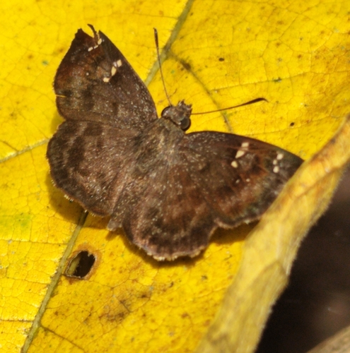
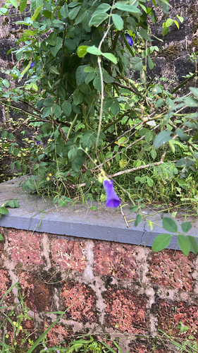
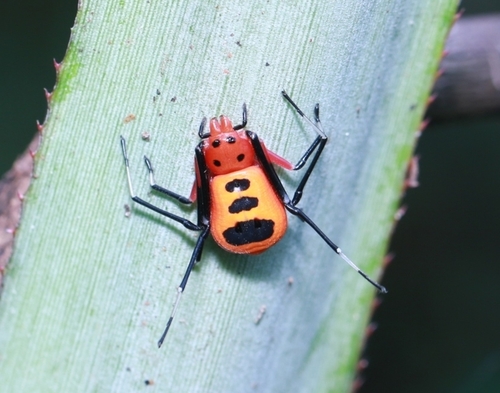
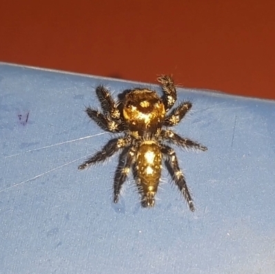
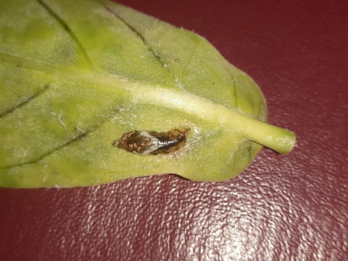
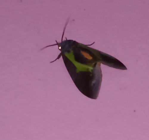
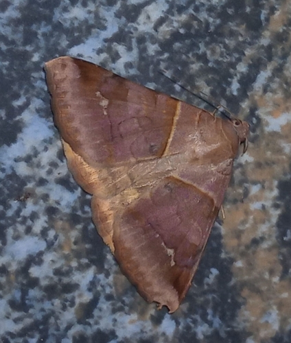
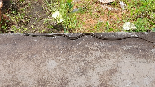
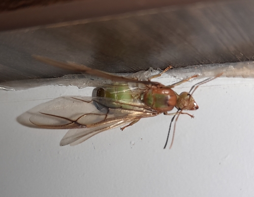
Research-grade observations from iNaturalist (within ~15 mi).
Events
Gallery
Sources
- • Wikipedia
- • Wikidata
- • iNaturalist
- • Open-Meteo / sunrise-sunset.org
- • Wikipedia Pageviews API
- • Open Library