Browse / United States / Indiana / Wakarusa
Wakarusa
Indianatown

Wakarusa
Total population
2,282
Median home value
$207,200
Bachelor's+
Median income
$74,464
Demographic figures from US Census Bureau · ACS 5-year estimates. Overview below cites Wikipedia and may reference a different year.
- Flood Watch · SevereFlood Watch issued September 18 at 3:20PM EDT until September 20 at 8:00AM EDT by NWS Northern Indiana
Source: NOAA National Weather Service.
City facts
Facts from Wikidata (CC0).
Overview
Wakarusa is a town in Harrison and Olive townships in Elkhart County, Indiana, United States. As of the 2020 census, Wakarusa had a population of 1,998.
Read more on WikipediaHistory & geography
History
In 1836, rural Olive Township was formed in western Elkhart County, and in 1849, as the population grew, a post office named Mt. Olive opened. After more population growth, a new village named Salem was established to prevent people from having to travel to either Goshen or Elkhart to conduct business. Since there is already a town named Salem in Indiana, the name was changed to Wakarusa in 1859. The Mt. Olive Post Office was renamed for Wakarusa a year later. Railroad - In 1891 work began on the Wabash Railroad line through town, with the official opening of the line in the spring of 1893. The line, which connected Chicago with Montpelier, Ohio, became part of the Norfolk & Western Railway in 1964 and lasted until the 1980s. Today, the original Wabash depot along with two Norfolk & Western rail cars are featured along with many other displays at the Wakarusa Historical Museum. The etymology of the name "Wakarusa" is not known. According to tradition, the name Wakarusa is from a Native American language, meaning "knee-deep in mud". A more recent source claims a settler named it after a location in Kansas.
Geography
According to the 2010 census, Wakarusa has a total area of , of which (or 96.62%) is land and (or 3.38%) is water.
Excerpted from the corresponding Wikipedia article (CC BY-SA).
Demographics & economy
Race & ethnicity
Source: US Census Bureau — American Community Survey, 5-year estimates.
Geography
Coordinates & boundaries from the US Census TIGER/Line shapefiles.
Climate
Current forecast
Forecast for Wakarusa, IN from NOAA NWS API.
Air quality
Industrial & pollution facilities
Natural hazard risk
Health (adults)
Walkability
Amenities nearby
Wildlife & biodiversity
Schools
Earthquake history
Photos
Sights & places nearby
Notable people from here
Nearby places in Indiana
- Bremen9.1 mi away · pop. 4,642
- Goshen9.9 mi away · pop. 34,517
- Milford11.8 mi away · pop. 1,661
- Mishawaka12.8 mi away · pop. 51,021
- Benton12.9 mi away · pop. 384
- Lake of the Woods13.2 mi away · pop. 663
- Gilmer Park13.4 mi away
- Lakeville13.6 mi away · pop. 735
- Simonton Lake15.6 mi away · pop. 4,248
- Millersburg16.4 mi away · pop. 1,077
- Notre Dame16.5 mi away
- South Bend16.6 mi away · pop. 102,944
Geography & sun
Elevation, sunrise/sunset and daylight from Open-Meteo. Solar climatology from NASA POWER.
Nearby airports
Public attention
Pageview totals from the Wikimedia Pageviews API.
Books about Wakarusa

Search results from Open Library.
Recent natural events nearby
Ground air-quality sensors
Recently spotted species

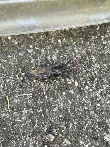
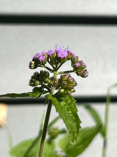

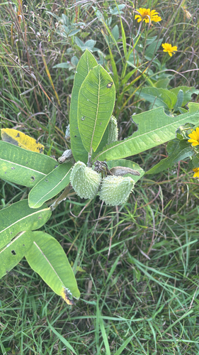
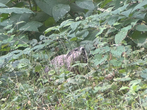

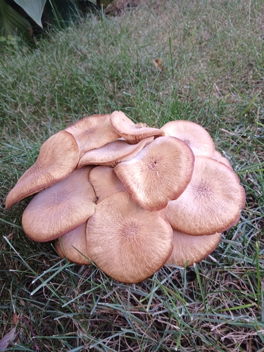
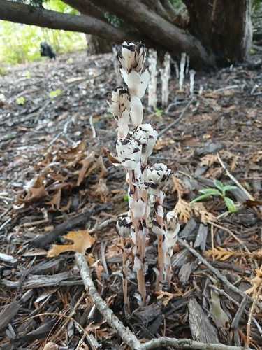
Research-grade observations from iNaturalist (within ~15 mi).
Nearest stream gauge
Events
Gallery
Sources
- • Wikipedia
- • US Census Bureau (ACS 5-year estimates)
- • NOAA National Weather Service
- • Wikidata
- • iNaturalist
- • Open-Meteo / sunrise-sunset.org
- • Wikipedia Pageviews API
- • Open Library