Browse / United States / Indiana / West Lebanon
West Lebanon
Indianatown

West Lebanon
Total population
789
Median home value
$113,300
Bachelor's+
Median income
$64,688
Demographic figures from US Census Bureau · ACS 5-year estimates. Overview below cites Wikipedia and may reference a different year.
City facts
Overview
West Lebanon is a town in Pike Township, Warren County, in the U.S. state of Indiana. The population was 678 at the 2020 census.
Read more on WikipediaHistory & geography
History
West Lebanon was laid out and platted in the fall of 1830 by Ebenezer Purviance, John G. Jemison and Andrew Fleming, and consisted of 64 lots. Originally named Lebanon, the name was changed to West Lebanon in 1869 when the town was incorporated, possibly in deference to the Boone County community of the same name which established its post office on December 15, 1832, just eleven days before their own. Not being close to any waterways, West Lebanon's early growth was relatively slow and for many years had no more than 20 families. However, with the completion of the Wabash Railroad line one mile north of town in 1856, the community's fortunes improved and led to most of the town relocating closer to the station. The original settlement area became known as Old Town. A Carnegie library was built at the corner of High Street and North Street in 1916 and continues to operate as the West Lebanon-Pike Township Public Library. Fire destroyed part of West Lebanon's business district the evening of January 26, 2011, destroying a row of buildings along the west side of High Street between First and North streets.
Geography
West Lebanon is located just south of State Road 28 about east of the Illinois border and about west of Williamsport. State Road 263 is concurrent with High Street and intersects State Road 28 at the north edge of town. A line of the Norfolk Southern Railway also passes through the north edge of the town. Rock Creek, east of town, flows south toward the Wabash River and forms the township's eastern border; it is fed by the small Johnson Branch which crosses the north edge of town. According to the 2010 census, West Lebanon has a total area of , all land.
Excerpted from the corresponding Wikipedia article (CC BY-SA).
Demographics & economy
Race & ethnicity
Source: US Census Bureau — American Community Survey, 5-year estimates.
Geography
Coordinates & boundaries from the US Census TIGER/Line shapefiles.
Climate
Air quality
Industrial & pollution facilities
Natural hazard risk
Health (adults)
Age-adjusted prevalence estimates from CDC PLACES (latest release).
Walkability
Amenities nearby
Wildlife & biodiversity
Most-observed species
- American RobinTurdus migratorius Linnaeus, 1766 · Aves227
- Turkey VultureCathartes aura (Linnaeus, 1758) · Aves219
- American CrowCorvus brachyrhynchos C.L.Brehm, 1822 · Aves205
- Northern CardinalCardinalis cardinalis (Linnaeus, 1758) · Aves201
- Mourning DoveZenaida macroura (Linnaeus, 1758) · Aves172
- Blue JayCyanocitta cristata (Linnaeus, 1758) · Aves147
- Red-bellied WoodpeckerMelanerpes carolinus (Linnaeus, 1758) · Aves142
- Tufted TitmouseBaeolophus bicolor (Linnaeus, 1766) · Aves142
Citizen-science & research observations from the Global Biodiversity Information Facility (GBIF).
Schools
Largest nearby schools
- Seeger Memorial Jr-Sr High SchoolHigh · West Lebanon · 620 students · 15.9:1 ratio
- Warren Central Elementary SchoolElementary · West Lebanon · 371 students · 18.6:1 ratio
- Williamsport Elementary SchoolElementary · Williamsport · 221 students · 14.7:1 ratio
Public K–12 schools within ~10 mi from Urban Institute Education Data Portal (NCES Common Core of Data, 2022).
Earthquake history
Most recent
- M 2.5 — 2023-10-317 km ESE of Linden, Indiana
- M 3.82 — 2021-06-17Illinois-Indiana border region
Events from the USGS Earthquake Catalog (global) (FDSN Event Web Service).
Photos
Sights & places nearby
Notable people from here


People born within ~10 km, from Wikidata (CC0). Click any name for their Wikipedia article.
Geography & sun
Nearby airports
Public attention
Books about this place
Recent natural events nearby
Ground air-quality sensors
Recently spotted species


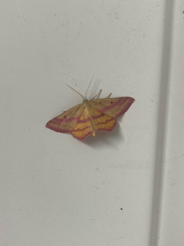
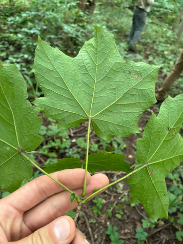
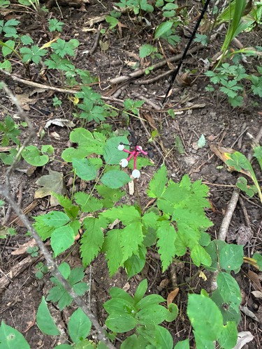
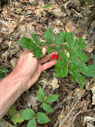
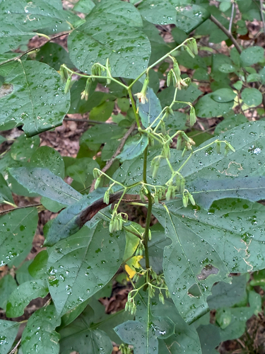
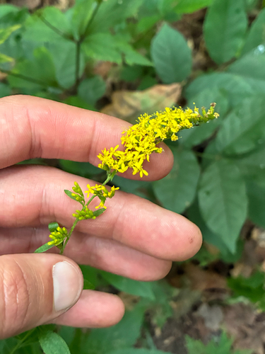
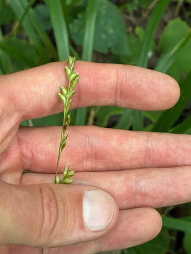
Research-grade observations from iNaturalist (within ~15 mi).
Nearest stream gauge
Events
Gallery
Sources
- • Wikipedia
- • US Census Bureau (ACS 5-year estimates)
- • Wikidata
- • USGS Earthquake Catalog (global feed)
- • NCES via Urban Institute Education Data Portal
- • GBIF (Global Biodiversity Information Facility)
- • iNaturalist
- • CDC PLACES