Browse / United States / Indiana / Whiting
Whiting
Indianacity

Whiting
Total population
4,532
Median home value
$198,900
Bachelor's+
Median income
$71,708
Founded
1889
Demographic figures from US Census Bureau · ACS 5-year estimates. Overview below cites Wikipedia and may reference a different year.
City facts
Facts from Wikidata (CC0).
Overview
Whiting is a city located in the Chicago Metropolitan Area in Lake County, Indiana, which was founded in 1889. The city is located on the southern shore of Lake Michigan. It is roughly 16 miles from the Chicago Loop and two miles from Chicago's South Side. Whiting is home to Whiting Refinery, the largest oil refinery in the Midwest. The population was 4,559 at the 2020 census.
Read more on WikipediaHistory & geography
History
A post office was first established at Whiting in 1871. Whiting was incorporated as a town in 1895. It was named after a trainman who was killed in a crash there. Whiting was incorporated as a city in 1903. The Hoosier Theater Building, Henry and Caroline Schrage House, and Whiting Memorial Community House are listed in the National Register of Historic Places.
Geography
According to the United States Census Bureau, the city has a total area of , all land.
Excerpted from the corresponding Wikipedia article (CC BY-SA).
Demographics & economy
Race & ethnicity
Source: US Census Bureau — American Community Survey, 5-year estimates.
Geography
Coordinates & boundaries from the US Census TIGER/Line shapefiles.
Climate
Air quality
Industrial & pollution facilities
Natural hazard risk
Health (adults)
Age-adjusted prevalence estimates from CDC PLACES (latest release).
Walkability
Amenities nearby
Wildlife & biodiversity
Most-observed species
- Ring-billed GullLarus delawarensis Ord, 1815 · Aves27,907
- Canada Goose (canadensis Group)Branta canadensis (Linnaeus, 1758) · Aves26,827
- American RobinTurdus migratorius Linnaeus, 1766 · Aves26,310
- Northern CardinalCardinalis cardinalis (Linnaeus, 1758) · Aves21,260
- European StarlingSturnus vulgaris Linnaeus, 1758 · Aves21,061
- MallardAnas platyrhynchos Linnaeus, 1758 · Aves20,831
- Red-winged BlackbirdAgelaius phoeniceus (Linnaeus, 1766) · Aves19,620
- American GoldfinchSpinus tristis (Linnaeus, 1758) · Aves19,168
Citizen-science & research observations from the Global Biodiversity Information Facility (GBIF).
Schools
Largest nearby schools
- Hammond Central High SchoolHigh · Hammond · 1,863 students · 19.4:1 ratio
- Morton Senior High SchoolHigh · Hammond · 1,609 students · 18.5:1 ratio
- Munster High SchoolHigh · Munster · 1,564 students · 18.4:1 ratio
- 21st Century Charter Sch of GaryOther · Gary · 1,337 students · 11.6:1 ratio
- Gary Lighthouse Charter SchoolOther · Gary · 1,127 students · 14.8:1 ratio
- East Chicago Central High SchoolHigh · East Chicago · 1,079 students · 14:1 ratio
- West Side Leadership AcademyHigh · Gary · 1,013 students · 20.7:1 ratio
- Highland High SchoolHigh · Highland · 987 students · 17.3:1 ratio
Public K–12 schools within ~10 mi from Urban Institute Education Data Portal (NCES Common Core of Data, 2022).
Earthquake history
Most recent
- M 2.9 — 2026-07-0821 km ENE of Kenilworth, Illinois
- M 2.9 — 2015-03-253 km WNW of Lake in the Hills, Illinois
- M 3.2 — 2013-11-041 km SSW of Lyons, Illinois
- M 2.6 — 2013-06-104 km NNE of Virgil, Illinois
- M 3.8 — 2010-02-102 km NW of Lily Lake, Illinois
Events from the USGS Earthquake Catalog (global) (FDSN Event Web Service).
Photos
Sights & places nearby
Notable people from here
Geography & sun
Nearby airports
Public attention
Books about this place
Recent natural events nearby
Ground air-quality sensors
Recently spotted species
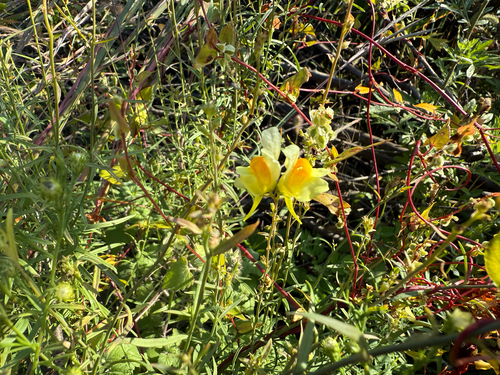
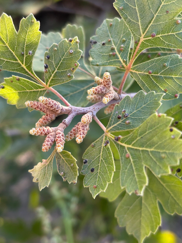
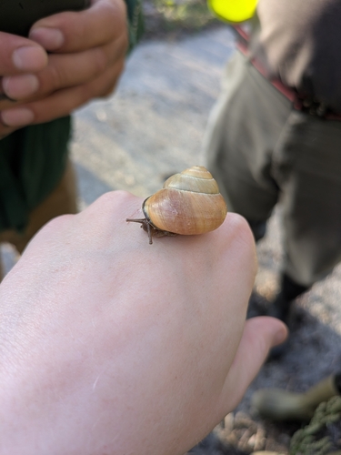
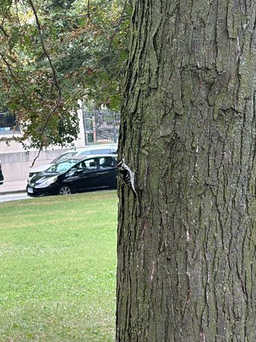
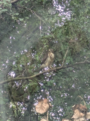
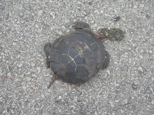
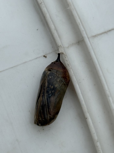
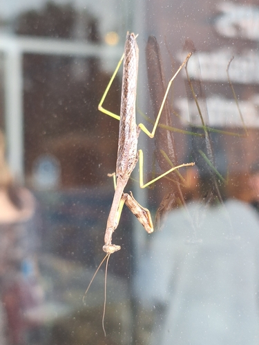
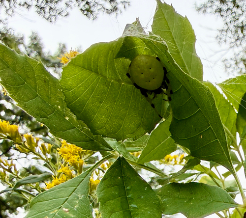
Research-grade observations from iNaturalist (within ~15 mi).
Nearest stream gauge
Events
Gallery
Sources
- • Wikipedia
- • US Census Bureau (ACS 5-year estimates)
- • Wikidata
- • USGS Earthquake Catalog (global feed)
- • NCES via Urban Institute Education Data Portal
- • GBIF (Global Biodiversity Information Facility)
- • iNaturalist
- • CDC PLACES