Lahrud
Irantown
Total population
2,961
Demographic figures from Statistical Centre of Iran. Overview below cites Wikipedia and may reference a different year.
City facts
Overview
Lahrud sits in Iran and is identified as a town. Recent open-data figures place its population at about 2,961. Geographically it lies in the northern hemisphere at a warm temperate latitude (38.508°, 47.832°). Open solar datasets indicate about 1,658 kWh/m² of solar irradiance per year, combined with sunshine for roughly 65% of daylight hours. Its latitude implies a climate characterised by warm summers and cool winters. Detailed open-data panels follow, covering demographics, climate, geography, wildlife and nearby settlements.
Summary composed automatically from structured open data on this page. See our Terms for details.
History & geography
Geography
Coordinates & boundaries from the US Census TIGER/Line shapefiles.
Climate
Air quality
Walkability
Amenities nearby
Wildlife & biodiversity
Most-observed species
- European Bee-eaterMerops apiaster Linnaeus, 1758 · Aves12
- European RollerCoracias garrulus Linnaeus, 1758 · Aves9
- Lesser Gray ShrikeLanius minor Gmelin, 1788 · Aves9
- Eurasian MagpiePica pica (Linnaeus, 1758) · Aves9
- Purple HeronArdea purpurea Linnaeus, 1766 · Aves7
- Crested LarkGalerida cristata (Linnaeus, 1758) · Aves7
- House SparrowPasser domesticus (Linnaeus, 1758) · Aves7
- Great Crested GrebePodiceps cristatus (Linnaeus, 1758) · Aves6
Citizen-science & research observations from the Global Biodiversity Information Facility (GBIF).
Earthquake history
Photos
Sights & places nearby
Notable people from here
Nearby places in Iran
- Tikmedash71.4 mi away · pop. 2,500
- Talesh76.2 mi away · pop. 54,178
- Sor80.3 mi away
- Hashjin83.1 mi away · pop. 5,725
- Pareh sar91.8 mi away · pop. 1,612
- Alıcan94.5 mi away
- Zavadıx95.9 mi away
- Arpadüzü98.1 mi away
- Nazarkahrizi99.1 mi away · pop. 13,736
- Zonuz108.2 mi away · pop. 2,465
- Khodaju108.8 mi away · pop. 1,824
- Şıxbağı112.3 mi away
Geography & sun
Elevation, sunrise/sunset and daylight from Open-Meteo. Solar climatology from NASA POWER.
Nearby airports
Public attention
Books about this place
Recent natural events nearby
Ground air-quality sensors
Recently spotted species
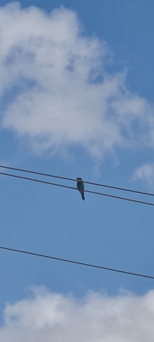
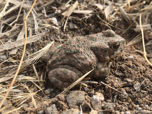
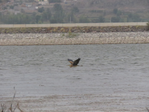
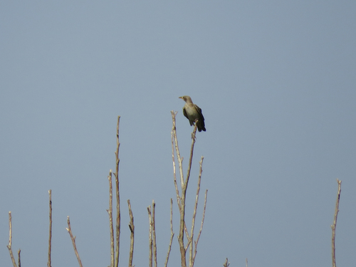
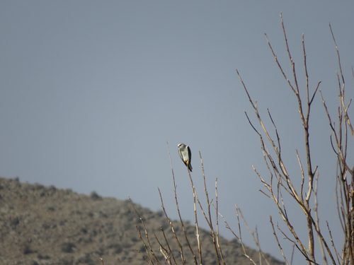
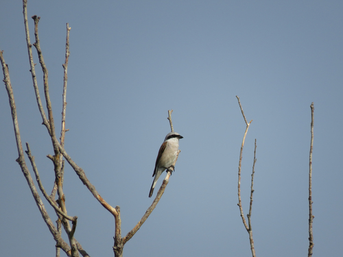
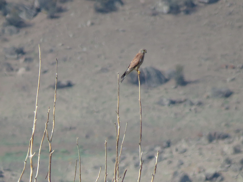
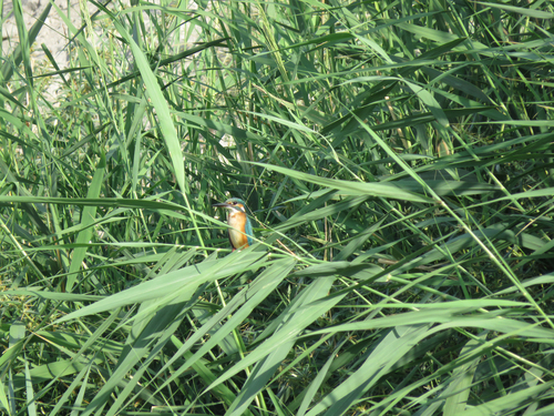
Research-grade observations from iNaturalist (within ~15 mi).
Events
Gallery
Sources
- • Wikidata
- • GBIF (Global Biodiversity Information Facility)
- • iNaturalist
- • Open-Elevation
- • Open-Meteo / sunrise-sunset.org