Browse / Italy / Umbria / Acquasparta
Acquasparta
Umbriavillage

Acquasparta
Total population
2,907
Demographic figures from ISTAT. Overview below cites Wikipedia and may reference a different year.
City facts
Facts from Wikidata (CC0).
Overview
Acquasparta is a town and comune in the province of Terni. It is located on a hill above the Naia Valley and the river of the same name, facing the Monti Martani mountain range.
Read more on WikipediaHistory & geography
History
During the ancient Roman domination the area was a retreat – a spa whose mineralized hot water baths were easily accessible from Rome along the west branch of the via Flaminia. Thermal baths remain open to the public today. The first reliable evidence for the existence of a settled nucleus at Acquasparta dates to the end of the 10th century. At the time, the territory of Acquasparta formed part of the Terre Arnolfe, lands between Spoleto, Todi and Terni granted by Otto I to Count Arnolf. At an unspecified date it was then subject to the Abbey of Farfa. By the end of the 12th century the area was ruled by the descendants of Arnolf, known as the Bentivenga family, also referred to as the nobles of Acquasparta. In 1233 the settlement was subjugated by Todi, under whose jurisdiction it remained from the 13th to the 15th century. In 1538 Pope Paul III sold Acquasparta to Pier Luigi Farnese. In 1540 it was transferred to Isabella , wife of Gian Giacomo Cesi, marking the beginning of Cesi family rule over Acquasparta and Portaria. In 1588 Pope Sixtus V elevated the territory to a duchy, with Federico Cesi as its first duke. The duchy reached its peak in the late 16th century under Federico II Cesi. On 6 July 1816 Acquasparta was classified as a baronial place within the Delegation of Spoleto. In 1817 it was united administratively with Configni and linked to the governor of San Gemini. In 1860 Acquasparta was annexed to the Kingdom of Italy. In 1895 Acquasparta had a population of 3,682 inhabitants.
Geography
Acquasparta is located about south-west of Spoleto. It stands on a low hill overlooking a valley, with the Naia stream flowing at its base. This stream rises in the hills between San Gemini and Quadrelli and flows into the Tiber about below Todi. In 2021, 878 people lived in rural dispersed dwellings not assigned to any named locality.
Excerpted from the corresponding Wikipedia article (CC BY-SA).
Geography
Coordinates & boundaries from the US Census TIGER/Line shapefiles.
Climate
Air quality
Walkability
Amenities nearby
Wildlife & biodiversity
Earthquake history
Photos
Sights & places nearby
Notable people from here
Geography & sun
Elevation, sunrise/sunset and daylight from Open-Meteo. Solar climatology from NASA POWER.
Nearby airports
Public attention
Pageview totals from the Wikimedia Pageviews API.
Books about Acquasparta
Search results from Open Library.
Recent natural events nearby
Ground air-quality sensors
Recently spotted species
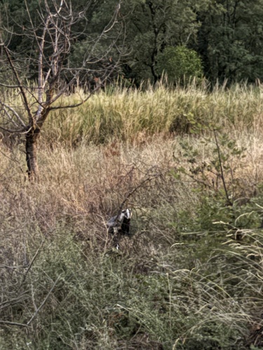
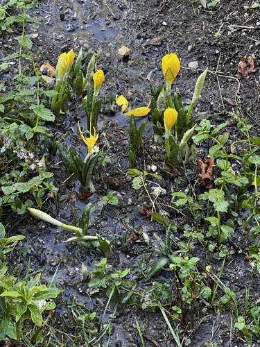


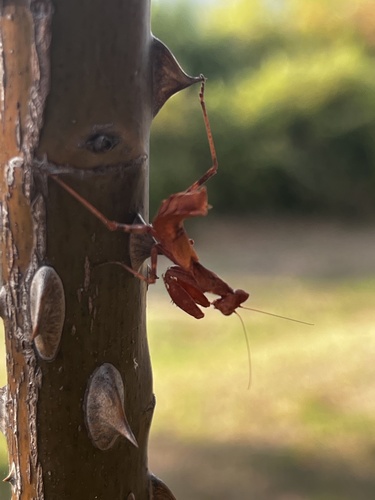

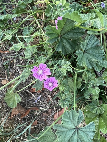
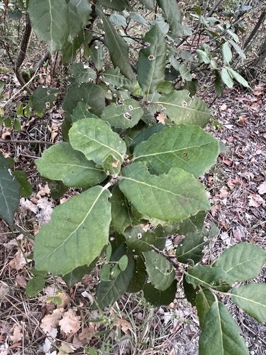
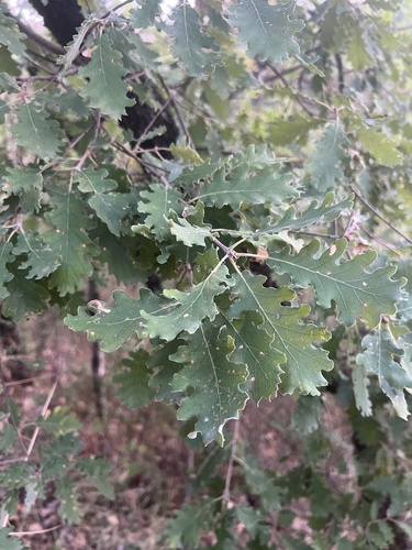
Research-grade observations from iNaturalist (within ~15 mi).
Events
Gallery
Official Identifiers
ISTAT — Italian National Institute of Statistics
- ISTAT code
- 055001
- Province
- Terni (TR)
- Region
- Umbria
- NUTS3 (2024)
- ITI22
- Codice catastale
- A045
Elenco comuni italiani (CC BY 3.0 IT)
Sources
- • Wikipedia
- • Wikidata
- • iNaturalist
- • Open-Meteo / sunrise-sunset.org
- • Wikipedia Pageviews API
- • Open Library
- • ISTAT — Italian national statistics (Elenco comuni italiani), via istat.it (official ISTAT code, province, region, NUTS3, codice catastale)
- • ISTAT — Italian National Institute of Statistics — Elenco comuni italiani (CC BY 3.0 IT)