Browse / Italy / Campania / Agropoli
Agropoli
Campaniatown

Agropoli
Total population
21,166
Demographic figures from ISTAT. Overview below cites Wikipedia and may reference a different year.
City facts
Sister cities
Facts from Wikidata (CC0).
Overview
Agropoli is a town and comune located in the Cilento area of the province of Salerno, Campania, Italy. It is situated at the start of the Cilentan Coast, on the Tyrrhenian Sea.
Read more on WikipediaHistory & geography
History
The promontory on which Agropoli stands has been inhabited since Neolithic times. It seems, however, that it was not until the later Bronze and Iron Ages that it came to be continuously inhabited by a stable, indigenous population, which lived off hunting and fishing. To the east of the promontory, at the mouth of the River Testene, there is a natural sheltered bay, called "Foce" in ancient times, but which is now almost completely silted up. Before and after the foundation of nearby Poseidonia (c. 625 BC), the Greeks used it for trading with the local people. They gave the promontory the Greek name, Petra ("rocky hill"), and built a temple on it, dedicated to Artemis, the Goddess of Hunting. It has been established that in Roman times, on the coastal stretch, now known as San Marco, east of the promontory, and to the right of the Testene, a seaside town called "Ercula" developed and flourished between the 1st century BCE, and the 5th century CE. Meanwhile, the harbour of neighbouring Poseidonia (by then, renamed Paestum by the Romans) became progressively silted up by the process of coastal bradyseism. During the 5th century, when the Vandals made life difficult in Ercula, its inhabitants retreated to the overlooking promontory, which offered better prospects for defence. Then, in the 6th century, during the Greco-Gothic war (535-553), the Byzantines needed a secure, well-protected harbour, south of Salerno, so they fortified it, and called it Acropolis, meaning 'high town' or citadel. Acropolis remained in the hands of the Byzantines until 882, when the town fell to the Saracens, who turned it into a formidable stronghold (). From this base, they set out to plunder and terrorise the surrounding areas, right up to the walls of Salerno. Eventually, in 915, they…
Geography
The municipality borders with Capaccio, Castellabate, Cicerale, Laureana Cilento, Ogliastro Cilento, Prignano Cilento and Torchiara. The town is few kilometres far from the Ancient Greek city of Paestum. It includes the hamlets (frazioni) of Frascinelle, Fuonti, Marotta, Mattine, Moio, Muoio, Madonna del Carmine, San Marco, Tarullo and Trentova.
Excerpted from the corresponding Wikipedia article (CC BY-SA).
Geography
Coordinates & boundaries from the US Census TIGER/Line shapefiles.
Climate
Air quality
Walkability
Amenities nearby
Wildlife & biodiversity
Earthquake history
Photos
Sights & places nearby
Notable people from here


People born within ~10 km, from Wikidata (CC0). Click any name for their Wikipedia article.
Nearby places in Campania
- San Martino4.2 mi away
- Santa Maria di Castellabate5 mi away · pop. 3,784
- Lustra5.5 mi away · pop. 1,115
- Mercato Cilento5.6 mi away
- San Mango Cilento6.6 mi away
- Giungano6.7 mi away · pop. 1,116
- Montecorice7.8 mi away · pop. 2,626
- Monteforte Cilento10.5 mi away · pop. 625
- Piano Vetrale11.2 mi away
- Acciaroli11.6 mi away
- Roccadaspide11.6 mi away · pop. 7,461
- Gioi12.3 mi away · pop. 1,465
Geography & sun
Elevation, sunrise/sunset and daylight from Open-Meteo. Solar climatology from NASA POWER.
Nearby airports
Public attention
Pageview totals from the Wikimedia Pageviews API.
Books about this place
Recent natural events nearby
Ground air-quality sensors
Recently spotted species
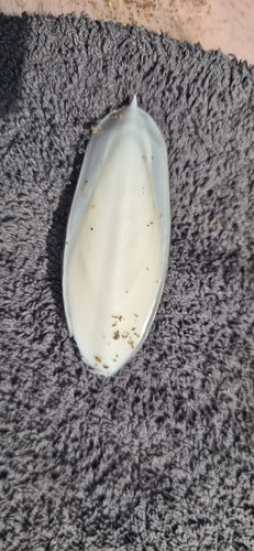
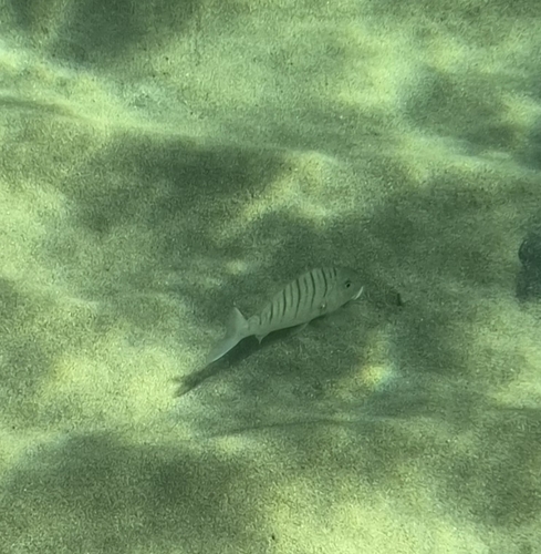
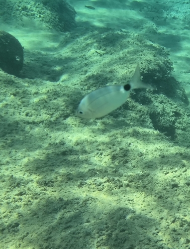
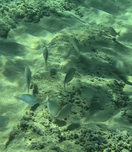
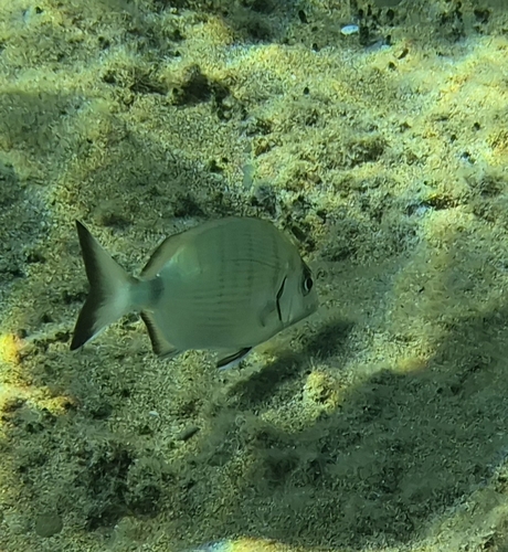
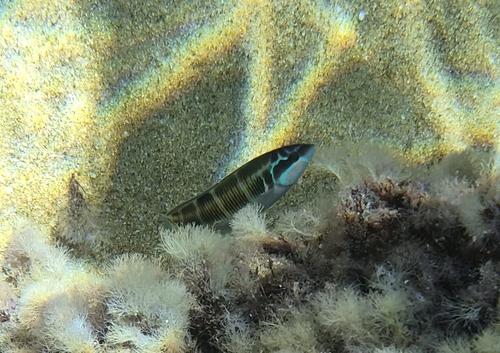
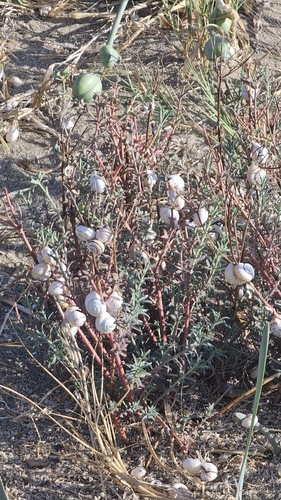
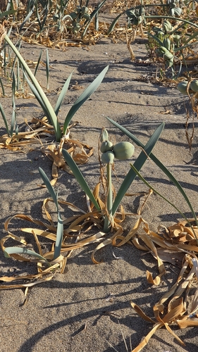
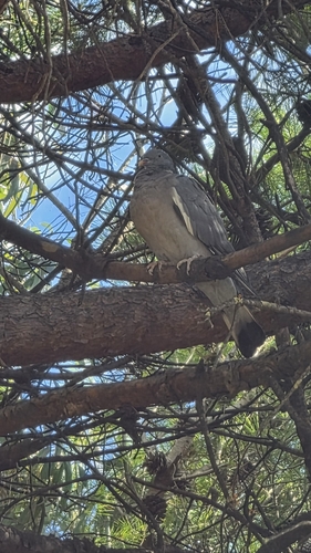
Research-grade observations from iNaturalist (within ~15 mi).
Events
Gallery
Official Identifiers
ISTAT — Italian National Institute of Statistics
- ISTAT code
- 065002
- Province
- Salerno (SA)
- Region
- Campania
- NUTS3 (2024)
- ITF35
- Codice catastale
- A091
Elenco comuni italiani (CC BY 3.0 IT)
Sources
- • Wikipedia
- • Wikidata
- • iNaturalist
- • Open-Meteo / sunrise-sunset.org
- • Wikipedia Pageviews API
- • ISTAT — Italian national statistics (Elenco comuni italiani), via istat.it (official ISTAT code, province, region, NUTS3, codice catastale)
- • ISTAT — Italian National Institute of Statistics — Elenco comuni italiani (CC BY 3.0 IT)