Browse / Italy / Lazio / Alatri
Alatri
Laziotown

Alatri
Total population
28,952
Demographic figures from ISTAT. Overview below cites Wikipedia and may reference a different year.
City facts
Sister cities
Facts from Wikidata (CC0).
Overview
Alatri is an Italian town and comune of the province of Frosinone in the region of Lazio, with c. 30,000 inhabitants. An ancient city of the Hernici, it is known for its megalithic acropolis.
Read more on WikipediaHistory & geography
History
The area of the modern city was settled as early as the 2nd millennium BC. Aletrium was a town of the Hernici and continued in this position throughout the imperial period. After the fall of the Western Roman Empire, the city decayed, the only respected authority being represented by the Christian bishop. During the reign of Theodoric the Great (5th century AD) the patrician Liberius promoted the construction of a monastic community, one of the most ancient in the West, where in 528 St. Benedict sojourned briefly. In 543, during the Gothic Wars, Alatri was sacked and destroyed by Totila's troops. In the 12th century the city became an important stronghold of the popes when they were obliged to leave the then unsafe Rome. In the following century it became a free commune, although under the authority of the bishops and the pope, governed by consuls until 1241, when a podestà was introduced. In the following centuries it flourished economically and expanded, conquering Collepardo, Guarcino, Trivigliano, Vico and Frosinone, though often hampered by inner strife. In the 15th century Alatri started to lose its freedom, due to the involvement of Ladislaus of Naples and Pope Martin V. After the short seigniory of Filippo Maria Visconti in 1434, the city had to accept papal suzerainty. Struggles with the neighbouring communes continued, and in 1556 it was occupied by Spanish soldiers. During the Roman Republic, it remained loyal to the pope. During the Napoleonic occupation (1809–1814) numerous members of the papal administration, as well as bishop Giuseppe della Casa, were deported to France. It became part of Italy in 1870. During World War II it suffered heavy destruction and human victims.
Excerpted from the corresponding Wikipedia article (CC BY-SA).
Geography
Coordinates & boundaries from the US Census TIGER/Line shapefiles.
Climate
Air quality
Walkability
Amenities nearby
Wildlife & biodiversity
Most-observed species
- Asian tiger mosquito, Forest day mosquitoAedes albopictus (Skuse, 1894) · Insecta216
- Stinking HelleboreHelleborus foetidus L. · Magnoliopsida90
- Hooded CrowCorvus cornix Linnaeus, 1758 · Aves66
- Eurasian BlackbirdTurdus merula Linnaeus, 1758 · Aves61
- Common ChaffinchFringilla coelebs Linnaeus, 1758 · Aves54
- European RobinErithacus rubecula (Linnaeus, 1758) · Aves51
- Great TitParus major Linnaeus, 1758 · Aves47
- Eurasian Blue TitCyanistes caeruleus (Linnaeus, 1758) · Aves45
Citizen-science & research observations from the Global Biodiversity Information Facility (GBIF).
Earthquake history
Most recent
- M 4.4 — 2026-07-245 km WNW of Pizzone, Italy
- M 2.7 — 2025-05-081 km NNE of Montecompatri, Italy
- M 4.1 — 2024-12-093 km SSE of Formia, Italy
- M 3.1 — 2020-05-117 km NNW of Rome, Italy
- M 4.6 — 2019-11-072 km SW of Villavallelonga, Italy
- M 3.4 — 2019-06-231 km WSW of Gallicano nel Lazio, Italy
Events from the USGS Earthquake Catalog (global) (FDSN Event Web Service).
Photos
Sights & places nearby
Notable people from here


People born within ~10 km, from Wikidata (CC0). Click any name for their Wikipedia article.
Nearby places in Lazio
- Veroli4.6 mi away · pop. 19,818
- Ferentino5.1 mi away · pop. 21,213
- Frosinone5.9 mi away · pop. 44,502
- Casino Novelli6.5 mi away
- Cartiera-Stazione7.1 mi away · pop. 1,180
- Quattro strade7.4 mi away
- Colle San Paolo7.5 mi away
- Case Campoli-Panetta7.7 mi away
- Boville Ernica8.9 mi away · pop. 8,873
- Ripiano9.1 mi away
- Anagni9.9 mi away · pop. 21,464
- Arnara10.1 mi away · pop. 2,454
Geography & sun
Elevation, sunrise/sunset and daylight from Open-Meteo. Solar climatology from NASA POWER.
Nearby airports
Public attention
Pageview totals from the Wikimedia Pageviews API.
Books about Alatri
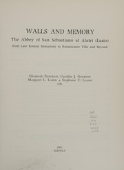
Search results from Open Library.
Recent natural events nearby
Ground air-quality sensors
Recently spotted species
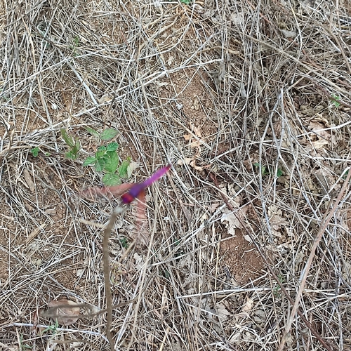
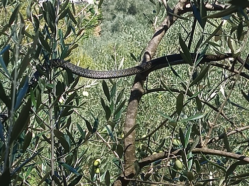
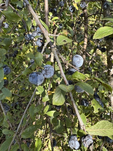
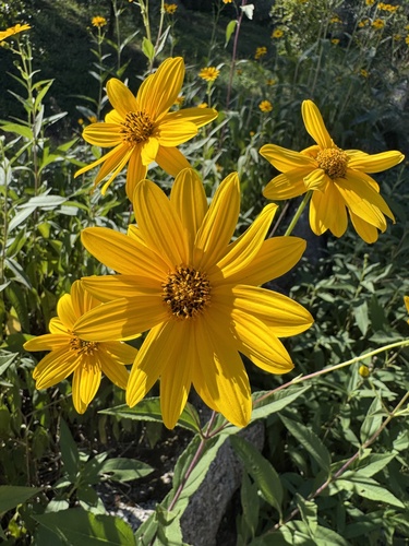
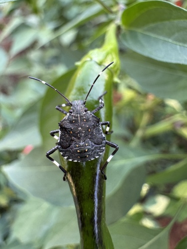
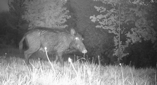
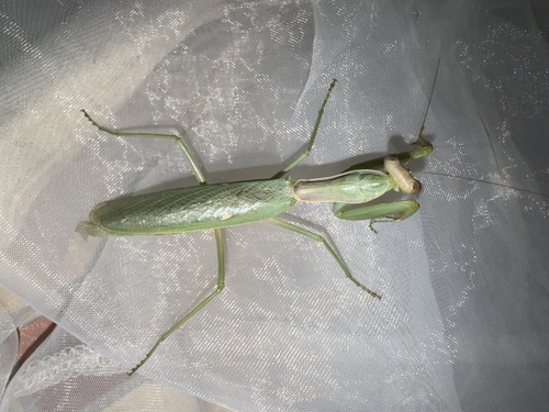
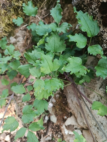
Research-grade observations from iNaturalist (within ~15 mi).
Events
Gallery
Official Identifiers
ISTAT — Italian National Institute of Statistics
- ISTAT code
- 060003
- Province
- Frosinone (FR)
- Region
- Lazio
- NUTS3 (2024)
- ITI45
- Codice catastale
- A123
Elenco comuni italiani (CC BY 3.0 IT)
Sources
- • Wikipedia
- • Wikidata
- • USGS Earthquake Catalog (global feed)
- • GBIF (Global Biodiversity Information Facility)
- • iNaturalist
- • Open-Meteo / sunrise-sunset.org
- • Wikipedia Pageviews API
- • Open Library
- • ISTAT — Italian national statistics (Elenco comuni italiani), via istat.it (official ISTAT code, province, region, NUTS3, codice catastale)
- • ISTAT — Italian National Institute of Statistics — Elenco comuni italiani (CC BY 3.0 IT)