Browse / Italy / Lazio / Albano Laziale
Albano Laziale
Laziotown

Albano Laziale
Total population
41,715
Demographic figures from ISTAT. Overview below cites Wikipedia and may reference a different year.
City facts
Facts from Wikidata (CC0).
Overview
Albano Laziale, sometimes known simply as Albano, is a comune (municipality) in the Metropolitan City of Rome Capital, on the Alban Hills, in the Italian region of Lazio. Rome is 25 kilometres (16 mi) distant. It is bounded by other communes of Castel Gandolfo, Rocca di Papa, Ariccia and Ardea.
Read more on WikipediaHistory & geography
History
The first recorded evidence of human settlement in the town of Albano Laziale dates from the beginning of the first millennium BC with the remains of settlements of Tor Paluzzi, Castel Savelli and Colle dei Cappuccini. The human presence in these locations, is maintained even in later times, while from Laziale IIB period (830 BCE – 730 BCE) start to appear due to traces of the mythical foundation Latin capital of Alba Longa. Most modern historians seems inclined to place the site of Alba Longa in between the towns of Marino, Rocca di Papa and Ariccia on the eastern side of Lake Albano, which is opposite to the present city of Albano. Albano is located in the area in which, according to the legend, Aeneas's son, Ascanius, founded Alba Longa. Today the coat of arms of Albano still sports the white (Latin: Alba) boar seen by Aeneas (Virgil's Aeneid Book VIII) which was the sign as to where Ascanius should found the new city. Alba Longa was one of the main cities of the Latins and, again according to the legend, the birthplace of Romulus and Remus, the mythical founders of Rome. Albanense in the territory, were then subjected to a large extent the wealthy of Aricia, which built several suburban villas built by the leading exponents of the Roman nobility. Pompey had a villa, the Albanum Pompeii, whose ruins have been found inside of the Villa Doria Pamphili. A villa belonging to the Seneca would be identified within the ruins found on the south ridge of Lake Albano, bordering the town of Ariccia. All of these residences, at the time of Emperor Domitian were combined into a single fund owned by the Emperor's Albanum Cesaris, within which erected a monumental imperial residence, with the ruins mostly contained in the Villa Barberini at Castel Gandolfo. The Emperor…
Geography
The territory of Albano Laziale is and one of the largest of Colli Albani; sixth after Velletri at , Lanuvio at , Rocca di Papa at , Rocca Priora at and Marino at . According to the classification given by the Geological Survey of Italy most of the territory is similar to other areas of the Colli Albani, from lands classified as v 2. The main hydrographic feature is Lake Albano, whose full name is actually Lake Albano and Castel Gandolfo. In fact, most coastal lakes are relevant to the town of Castel Gandolfo, while the remainder are in the Albanense territory. The lake basin is run by the Metropolitan City of Rome. Some small streams, often dry, start from the north: *Fosso of Santa Palomba, originates from springs from the hills of the Colli Albani area of the old town, and flows westwards to the town of Santa Palomba, in the municipality of Rome and Pomezia. * Fosso of Chancellor, originates from springs from the Chancellor resort, in Ariccia common, about above sea level, and continues to flow in a south-south-west to the Tyrrhenian Sea. *Fosso di Valle Caia, originates from the Quarto Negroni, bordering with the municipality of Ariccia at of National Road 207 Nettunense and continues its path towards the Tyrrhenian Sea in the west. * Fosso di Montagnano; originates from drain water that is collected in the local mountains, between the towns of Albano, Ariccia and Ardea, and continues to the arm for the west the Tyrrhenian Sea. The highest peak of the town of Albano is the Colle dei Cappuccini, located at 615 m above sea level. From the hill, which houses a pine forest adjacent to the Capuchin Monastery, there is a remarkable overview of Lake Albano, Agro Romano and Monte Cavo. The hill town of Castel Savelli is 280 m above sea level, while the underlying…
Excerpted from the corresponding Wikipedia article (CC BY-SA).
Geography
Coordinates & boundaries from the US Census TIGER/Line shapefiles.
Climate
Air quality
Walkability
Amenities nearby
Wildlife & biodiversity
Most-observed species
- Hooded CrowCorvus cornix Linnaeus, 1758 · Aves1,770
- Eurasian BlackbirdTurdus merula Linnaeus, 1758 · Aves1,212
- Yellow-legged GullLarus michahellis J.F.Naumann, 1840 · Aves1,112
- Rose-ringed ParakeetPsittacula krameri (Scopoli, 1769) · Aves1,029
- Rock PigeonColumba livia J.F.Gmelin, 1789 · Aves978
- European StarlingSturnus vulgaris Linnaeus, 1758 · Aves931
- Monk ParakeetMyiopsitta monachus (Boddaert, 1783) · Aves917
- Italian SparrowPasser italiae (Vieillot, 1817) · Aves836
Citizen-science & research observations from the Global Biodiversity Information Facility (GBIF).
Earthquake history
Most recent
- M 2.7 — 2025-05-081 km NNE of Montecompatri, Italy
- M 4.1 — 2024-12-093 km SSE of Formia, Italy
- M 3.1 — 2020-05-117 km NNW of Rome, Italy
- M 4.6 — 2019-11-072 km SW of Villavallelonga, Italy
- M 3.4 — 2019-06-231 km WSW of Gallicano nel Lazio, Italy
- M 4.3 — 2019-01-014 km SSW of Trasacco, Italy
Events from the USGS Earthquake Catalog (global) (FDSN Event Web Service).
Photos
Sights & places nearby
Notable people from here


People born within ~10 km, from Wikidata (CC0). Click any name for their Wikipedia article.
Nearby places in Lazio
- Monte Gentile1.8 mi away
- Pavona2.4 mi away · pop. 7,500
- Rocca di Papa3.4 mi away · pop. 17,034
- Montecagnoletto3.7 mi away
- Poggio delle Mole3.8 mi away
- Lanuvio4.3 mi away · pop. 13,632
- Frascati5.6 mi away · pop. 22,087
- Campoleone5.8 mi away
- Ciampino5.8 mi away · pop. 38,412
- Falcognana5.8 mi away · pop. 1,279
- Centroni6 mi away
- Landi6.2 mi away
Geography & sun
Elevation, sunrise/sunset and daylight from Open-Meteo. Solar climatology from NASA POWER.
Nearby airports
Public attention
Pageview totals from the Wikimedia Pageviews API.
Books about this place
Recent natural events nearby
Ground air-quality sensors
Recently spotted species
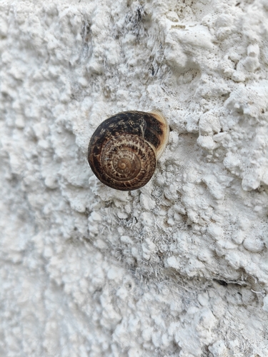
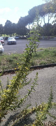
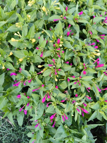
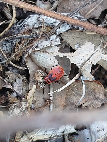
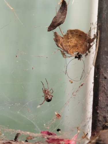
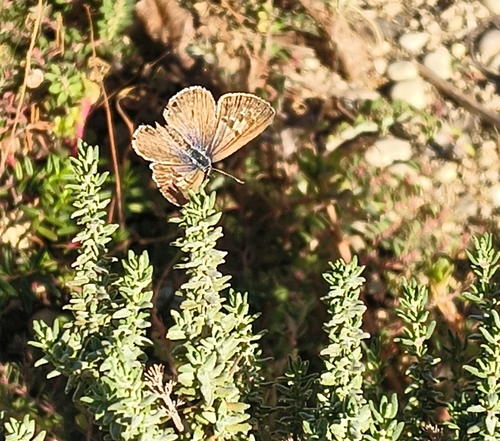
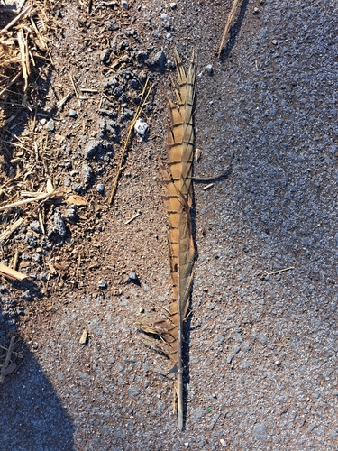
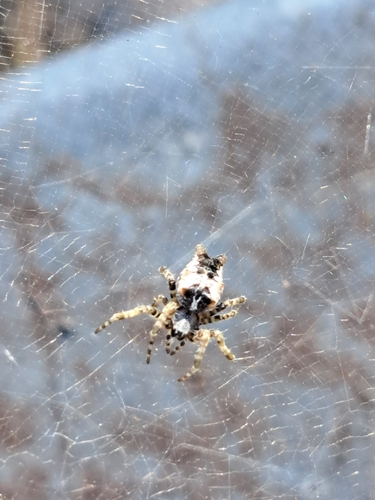
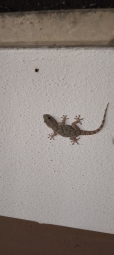
Research-grade observations from iNaturalist (within ~15 mi).
Events
Gallery
Official Identifiers
ISTAT — Italian National Institute of Statistics
- ISTAT code
- 058003
- Province
- Roma (RM)
- Region
- Lazio
- NUTS3 (2024)
- ITI43
- Codice catastale
- A132
Elenco comuni italiani (CC BY 3.0 IT)
Sources
- • Wikipedia
- • Wikidata
- • USGS Earthquake Catalog (global feed)
- • GBIF (Global Biodiversity Information Facility)
- • iNaturalist
- • Open-Meteo / sunrise-sunset.org
- • Wikipedia Pageviews API
- • ISTAT — Italian national statistics (Elenco comuni italiani), via istat.it (official ISTAT code, province, region, NUTS3, codice catastale)
- • ISTAT — Italian National Institute of Statistics — Elenco comuni italiani (CC BY 3.0 IT)