Browse / Italy / Lazio / Artena
Artena
Laziotown

Artena
Total population
14,276
Demographic figures from ISTAT. Overview below cites Wikipedia and may reference a different year.
City facts
Sister cities
Facts from Wikidata (CC0).
Overview
Artena is a town and comune in the Metropolitan City of Rome, Italy. It is situated in the northwest of Monti Lepini, in the upper valley of the Sacco River. It is approximately 40 kilometres (25 mi) southeast by rail, and 30 kilometres (19 mi) direct from Rome.
Read more on WikipediaHistory & geography
History
The name of the original village of the Volsci is uncertain; Ecetra or Fortinum are possible suggestions. The modern village was called Monte Fortino until 1873. It owes its present name to an unproven identification of the site with the ancient Volscian Artena, destroyed in 404 BC. Another Artena, which was an Etruscan town belonging to the district of Caere, and laying between it and Veii, was destroyed in the period of the kings, and its site is unknown. In the Middle Ages Artena was a fief of the Counts of Tusculum and then the Counts of Segni, who held its castle until 1475 when, after the request of Charles VIII of France, it was assigned to the Colonna. Due to the latter's anti-papal stance, Artena was ravaged several times by papal armies (1526, 1543 and 1557).
Excerpted from the corresponding Wikipedia article (CC BY-SA).
Geography
Coordinates & boundaries from the US Census TIGER/Line shapefiles.
Climate
Air quality
Walkability
Amenities nearby
Wildlife & biodiversity
Most-observed species
- Hooded CrowCorvus cornix Linnaeus, 1758 · Aves236
- Eurasian BlackbirdTurdus merula Linnaeus, 1758 · Aves193
- European RobinErithacus rubecula (Linnaeus, 1758) · Aves151
- Common ChaffinchFringilla coelebs Linnaeus, 1758 · Aves147
- Great TitParus major Linnaeus, 1758 · Aves124
- Eurasian Blue TitCyanistes caeruleus (Linnaeus, 1758) · Aves119
- Butcher's-broomRuscus aculeatus L. · Liliopsida119
- Eurasian BlackcapSylvia atricapilla (Linnaeus, 1758) · Aves117
Citizen-science & research observations from the Global Biodiversity Information Facility (GBIF).
Earthquake history
Most recent
- M 4.4 — 2026-07-245 km WNW of Pizzone, Italy
- M 2.7 — 2025-05-081 km NNE of Montecompatri, Italy
- M 4.1 — 2024-12-093 km SSE of Formia, Italy
- M 3.1 — 2020-05-117 km NNW of Rome, Italy
- M 4.6 — 2019-11-072 km SW of Villavallelonga, Italy
- M 3.4 — 2019-06-231 km WSW of Gallicano nel Lazio, Italy
Events from the USGS Earthquake Catalog (global) (FDSN Event Web Service).
Photos
Sights & places nearby
Notable people from here
Nearby places in Lazio
- Villaggio Rinascita2.1 mi away
- Valmontone2.4 mi away · pop. 15,959
- Giulianello4.3 mi away
- Lariano4.3 mi away · pop. 13,432
- Colleferro4.9 mi away · pop. 21,595
- Cave5.3 mi away · pop. 11,287
- Carchitti5.7 mi away
- San Bartolomeo5.9 mi away
- Colle di Fuori6.6 mi away
- Segni6.7 mi away · pop. 9,159
- Cori6.8 mi away · pop. 10,407
- Palestrina6.8 mi away · pop. 21,672
Geography & sun
Elevation, sunrise/sunset and daylight from Open-Meteo. Solar climatology from NASA POWER.
Nearby airports
Public attention
Pageview totals from the Wikimedia Pageviews API.
Books about Artena
Search results from Open Library.
Recent natural events nearby
Ground air-quality sensors
Recently spotted species
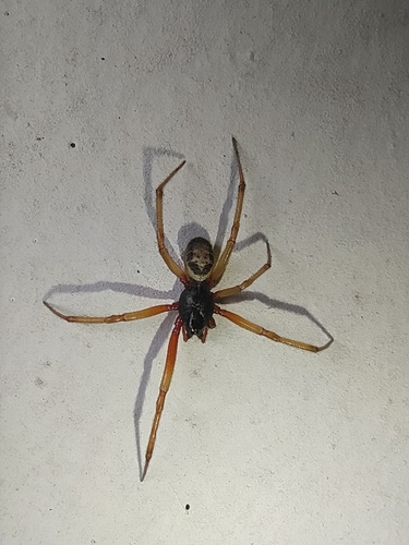

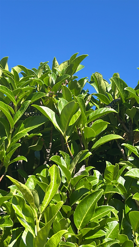

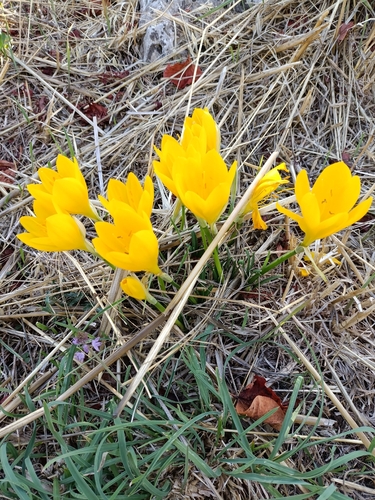
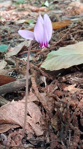
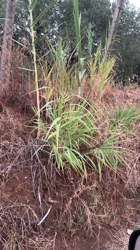
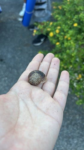

Research-grade observations from iNaturalist (within ~15 mi).
Events
Gallery
Official Identifiers
ISTAT — Italian National Institute of Statistics
- ISTAT code
- 058011
- Province
- Roma (RM)
- Region
- Lazio
- NUTS3 (2024)
- ITI43
- Codice catastale
- A449
Elenco comuni italiani (CC BY 3.0 IT)
Sources
- • Wikipedia
- • Wikidata
- • USGS Earthquake Catalog (global feed)
- • GBIF (Global Biodiversity Information Facility)
- • iNaturalist
- • Open-Meteo / sunrise-sunset.org
- • Wikipedia Pageviews API
- • Open Library
- • ISTAT — Italian national statistics (Elenco comuni italiani), via istat.it (official ISTAT code, province, region, NUTS3, codice catastale)
- • ISTAT — Italian National Institute of Statistics — Elenco comuni italiani (CC BY 3.0 IT)