Browse / Italy / Aosta Valley / Aymavilles
Aymavilles
Aosta Valleyvillage

Aymavilles
Demographic figures from ISTAT. Overview below cites Wikipedia and may reference a different year.
City facts
Facts from Wikidata (CC0).
Overview
Aymavilles is a town and comune in the Aosta Valley region of northwestern Italy.
Read more on WikipediaHistory & geography
Geography
Coordinates & boundaries from the US Census TIGER/Line shapefiles.
Climate
Air quality
Walkability
Amenities nearby
Wildlife & biodiversity
Most-observed species
- Marbled WhiteMelanargia galathea Linnaeus, 1758 · Insecta1,388
- ApolloParnassius apollo (Linnaeus, 1758) · Insecta783
- Chalk-hill BlueLysandra coridon (Poda, 1761) · Insecta525
- Great Sooty SatyrSatyrus ferula Fabricius, 1793 · Insecta514
- Silver-washed FritillaryArgynnis paphia (Linnaeus, 1758) · Insecta474
- Black-veined WhiteAporia crataegi (Linnaeus, 1758) · Insecta465
- Scarce CopperLycaena virgaureae (Linnaeus, 1758) · Insecta421
- Dark Green FritillarySpeyeria aglaja (Linnaeus, 1758) · Insecta421
Citizen-science & research observations from the Global Biodiversity Information Facility (GBIF).
Earthquake history
Most recent
- M 3.6 — 2026-01-124 km SSW of Les Houches, France
- M 3.2 — 2024-05-099 km SW of Evolène, Switzerland
- M 3.3 — 2022-09-257 km ESE of Ar?ches-la-Frasse, France
- M 2.7 — 2022-08-234 km S of Turtmann, Switzerland
- M 4.5 — 2022-03-123 km S of Faverges, France
- M 4.1 — 2021-10-0510 km SSW of Evolène, Switzerland
Events from the USGS Earthquake Catalog (global) (FDSN Event Web Service).
Photos
Sights & places nearby
Notable people from here


People born within ~10 km, from Wikidata (CC0). Click any name for their Wikipedia article.
Nearby places in Aosta Valley
Geography & sun
Elevation, sunrise/sunset and daylight from Open-Meteo. Solar climatology from NASA POWER.
Nearby airports
Public attention
Pageview totals from the Wikimedia Pageviews API.
Books about this place
Recent natural events nearby
Ground air-quality sensors
Recently spotted species
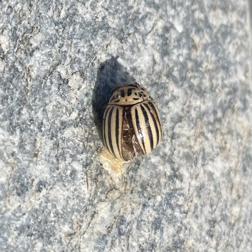
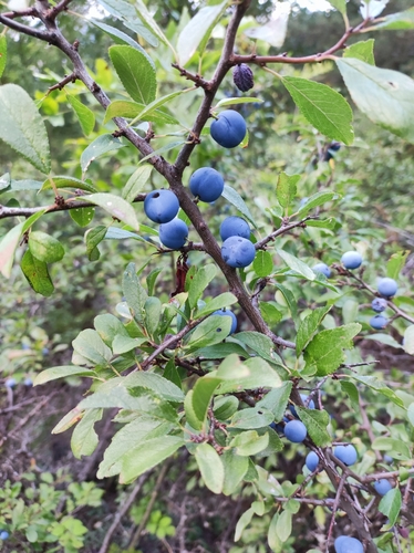
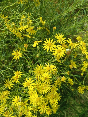
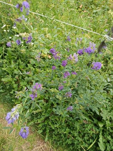
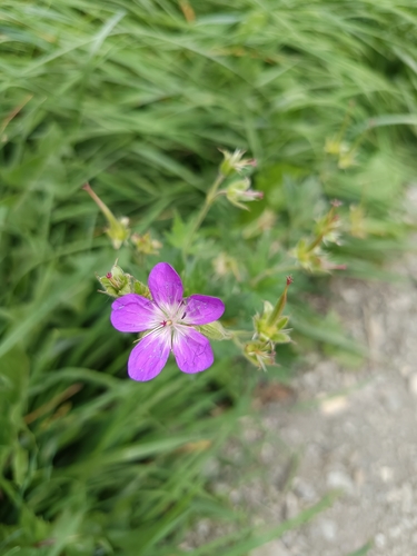
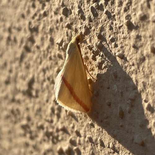
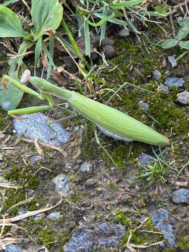
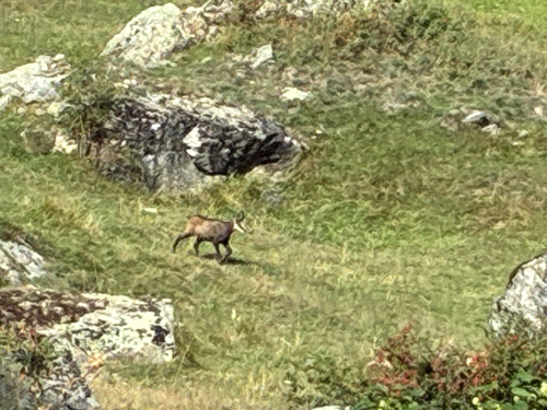
Research-grade observations from iNaturalist (within ~15 mi).
Events
Gallery
Official Identifiers
ISTAT — Italian National Institute of Statistics
- ISTAT code
- 007008
- Province
- Valle d'Aosta/Vallée d'Aoste (AO)
- Region
- Valle d'Aosta/Vallée d'Aoste
- NUTS3 (2024)
- ITC20
- Codice catastale
- A108
Elenco comuni italiani (CC BY 3.0 IT)
Sources
- • Wikipedia
- • Wikidata
- • USGS Earthquake Catalog (global feed)
- • GBIF (Global Biodiversity Information Facility)
- • iNaturalist
- • Open-Meteo / sunrise-sunset.org
- • Wikipedia Pageviews API
- • ISTAT — Italian national statistics (Elenco comuni italiani), via istat.it (official ISTAT code, province, region, NUTS3, codice catastale)
- • ISTAT — Italian National Institute of Statistics — Elenco comuni italiani (CC BY 3.0 IT)