Browse / Italy / Tuscany / Bagno Vignoni
Bagno Vignoni
Tuscanyvillage

Bagno Vignoni
Demographic figures from ISTAT. Overview below cites Wikipedia and may reference a different year.
City facts
Facts from Wikidata (CC0).
Overview
Bagno Vignoni is an Italian village and hamlet (frazione) of San Quirico d'Orcia, situated on a hill above the Val d'Orcia in Tuscany. It is a popular tourist destination and well known for its hot springs.
Read more on WikipediaHistory & geography
History
The ancient village of Bagno Vignoni is located in the heart of Tuscany, in the Val d'Orcia Natural Park. Thanks to the Via Francigena (which was the main route followed by pilgrims in antiquity who went to Rome), these thermal waters were found and have been used since Roman times. At the heart of the village is the "Square of sources", namely a rectangular tank, of sixteenth-century origin, which contains the original source of water that comes from the subterranean aquifer of volcanic origins. Since the Etruscans and Romans - as evidenced by the numerous archaeological finds - the spa of Bagno Vignoni was attended by eminent personalities such as Pope Pius II, Saint Catherine of Siena, Lorenzo the Magnificent and many other artists who had elected the village as their main holiday resort. Characteristic of Bagno Vignoni, besides the thermal waters, are its structure, despite numerous incidents of war, devastation and fires that involved the Val d'Orcia in the Middle Ages, remains essentially unchanged since then. From Bagno Vignoni, one can easily reach the historical centres of nearby Pienza and Montalcino, and the general Val d'Orcia area, including the Park of Mount Amiata.
Geography
Located on a hill surrounded by the valley of Orcia river, that flows south of the village, Bagno Vignoni is four kilometres north of Castiglione d'Orcia, 5,5 south of San Quirico d'Orcia, 13 south of Pienza, and 50 south of Siena. The central square of Bagno Vignoni, in which is located a large pool (Baths of St. Catherine), is named Piazza delle Sorgenti (i.e.: "Springs' Square").
Excerpted from the corresponding Wikipedia article (CC BY-SA).
Geography
Coordinates & boundaries from the US Census TIGER/Line shapefiles.
Climate
Air quality
Walkability
Amenities nearby
Wildlife & biodiversity
Earthquake history
Most recent
- M 4.2 — 2025-09-204 km SSE of San Terenziano, Italy
- M 3.2 — 2025-03-043 km S of Bevagna, Italy
- M 4.2 — 2023-03-094 km S of Umbertide, Italy
- M 4.5 — 2023-03-092 km S of Umbertide, Italy
- M 4.3 — 2023-03-094 km SW of Umbertide, Italy
- M 4.2 — 2022-12-054 km N of Monte Grimano, Italy
Events from the USGS Earthquake Catalog (global) (FDSN Event Web Service).
Photos
Sights & places nearby
Notable people from here


People born within ~10 km, from Wikidata (CC0). Click any name for their Wikipedia article.
Nearby places in Tuscany
- Torrenieri5.3 mi away
- Monticchiello6.1 mi away · pop. 202
- Contignano7.1 mi away
- Monterongriffoli8.5 mi away
- Montefollonico9.4 mi away · pop. 480
- Montegiovi9.4 mi away · pop. 175
- Montenero d'Orcia9.4 mi away
- Sant'Albino9.9 mi away
- Buonconvento10.3 mi away · pop. 3,173
- Salaiola12.5 mi away
- Gracciano12.8 mi away
- Bagnolo12.9 mi away · pop. 612
Geography & sun
Elevation, sunrise/sunset and daylight from Open-Meteo. Solar climatology from NASA POWER.
Nearby airports
Public attention
Pageview totals from the Wikimedia Pageviews API.
Books about this place
Recent natural events nearby
Ground air-quality sensors
Recently spotted species

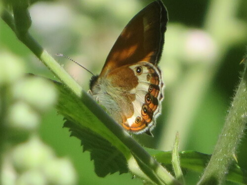
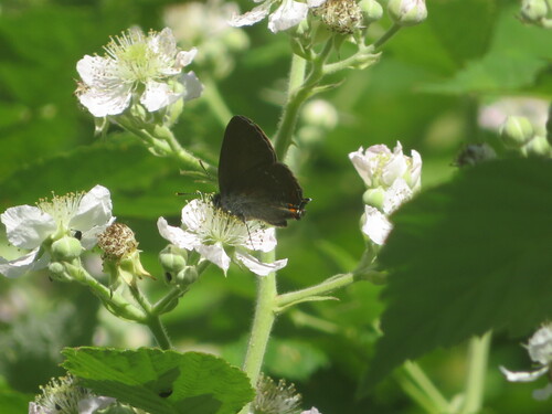
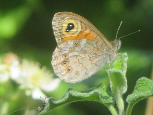
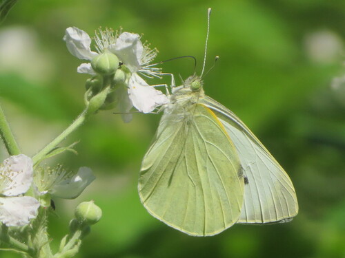
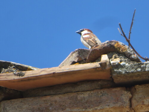

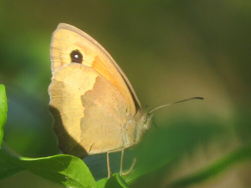
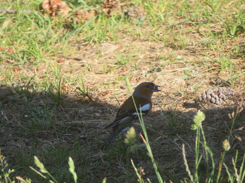
Research-grade observations from iNaturalist (within ~15 mi).
Events
Gallery
Geotagged photos within ~6 miles of Bagno Vignoni, from Wikimedia Commons contributors.
 0 mi
0 mi_-_panoramio.jpg) 0 mi
0 mi_-_panoramio_(1).jpg) 0 mi
0 mi_-_panoramio_(2).jpg) 0 mi
0 mi 0 mi
0 mi.jpg) 0 mi
0 mi 0 mi
0 mi 0 mi
0 mi 0 mi
0 mi 0 mi
0 mi 0 mi
0 mi 0 mi
0 mi 0.1 mi
 0.1 mi
 0.1 mi
 0.1 mi
 0.1 mi
 0.1 mi
 0.1 mi
 0.1 mi
 0.1 mi
 0.1 mi
 0.1 mi
 0.1 mi
Photos via Wikimedia Commons — see each image page for license & attribution.
Sources
- • Wikipedia
- • Wikimedia Commons
- • Wikidata
- • USGS Earthquake Catalog (global feed)
- • iNaturalist
- • Open-Meteo / sunrise-sunset.org
- • Wikipedia Pageviews API