Browse / Italy / Umbria / Bevagna
Bevagna
Umbriavillage

Bevagna
Total population
2,651
Demographic figures from ISTAT. Overview below cites Wikipedia and may reference a different year.
City facts
Sister cities
Facts from Wikidata (CC0).
Overview
Bevagna is a town and comune in the central part of the Italian province of Perugia (Umbria), in the flood plain of the Topino river.
Read more on WikipediaHistory & geography
History
Bevagna, known in antiquity as Mevania, was an important Umbrian city on the Via Flaminia, between Carsulae and Fulginium. The ancient settlement lay on the bank of the river in an open and fertile valley stretching from the vicinity of Spoleto to the Tiber, separating the main Apennine chain from the ranges that extend toward Todi and Amelia. Classical authors including Columella, Silius Italicus and Lucan refer to the fertility of this region. Before the Roman conquest, Mevania was a significant centre; in 308 BC Umbrian forces were stationed here when the consul Fabius advanced against them. In the Roman imperial period the city continued to flourish: Strabo mentions it among the strongest Umbrian cities, and Pliny records that it was enclosed by brick walls. The Antonine Itinerary and the Itinerary of Vicarello list Mevania as a mansio (station) on the Via Flaminia. Pliny also notes that the territory, the Mevanias ager, produced a particular prized wine called Irtia. Inscriptions indicate that the city belonged to the tribus Aemilia and that its municipal magistracies included quattuorviri. The city later rose again through the efforts attributed to the Blessed Giacomo of Bevagna, who rallied the dispersed inhabitants and encouraged the rebuilding of the walls on a more modest scale, sufficient to protect the families who had returned. In the mid-19th century the town had 4,024 inhabitants. Of these, 2,087 lived within the built-up area and 1,937 in the rural district. In 1860 Bevagna joined the Kingdom of Italy, within the Province of Umbria.
Geography
Bevagna lies in the western part of the on a plain at above sea level, with hills to the west. The territory is described as well cultivated, and agriculture benefits from the waters of the Timia, increased by those of the Attone stream. In the northern plain there is a small lake called the Cantone; because of its depth it is also known as the Abisso. In 2021, 1,606 people lived in rural dispersed dwellings not assigned to any named locality. At the time, most of the population lived in Bevagna proper (2,651).
Excerpted from the corresponding Wikipedia article (CC BY-SA).
Geography
Coordinates & boundaries from the US Census TIGER/Line shapefiles.
Climate
Air quality
Walkability
Amenities nearby
Wildlife & biodiversity
Earthquake history
Photos
Sights & places nearby
Notable people from here


People born within ~10 km, from Wikidata (CC0). Click any name for their Wikipedia article.
Geography & sun
Nearby airports
Public attention
Books about this place
Recent natural events nearby
Ground air-quality sensors
Recently spotted species
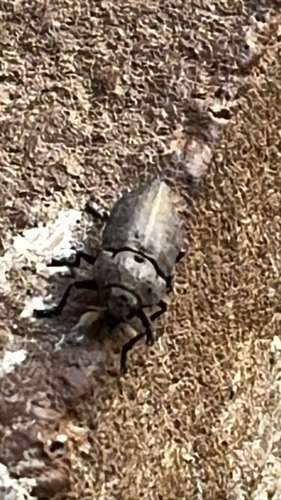

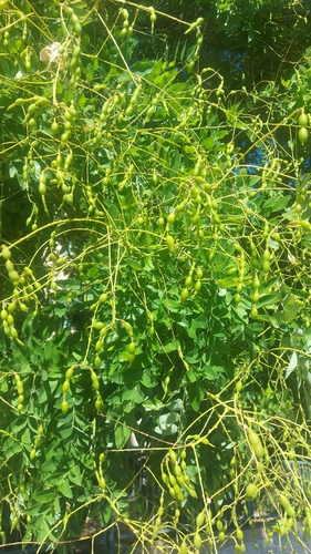

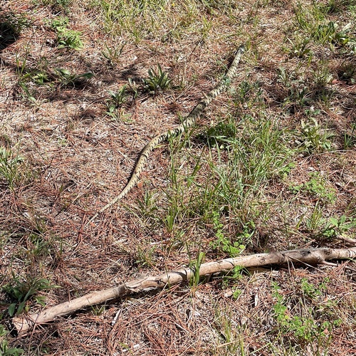
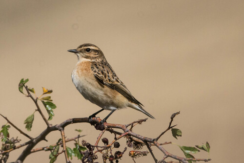
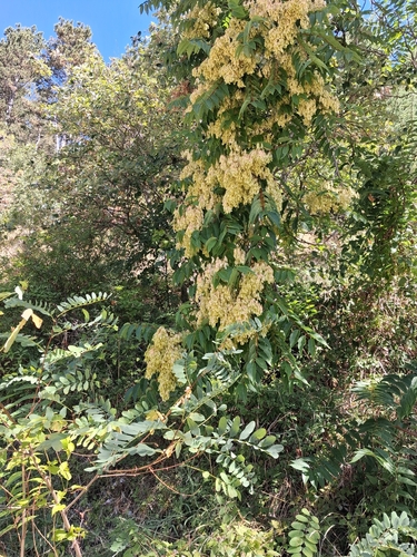
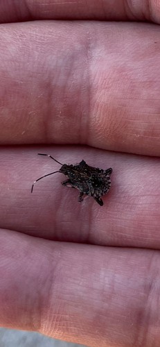
Research-grade observations from iNaturalist (within ~15 mi).
Events
Gallery
Official Identifiers
ISTAT — Italian National Institute of Statistics
- ISTAT code
- 054004
- Province
- Perugia (PG)
- Region
- Umbria
- NUTS3 (2024)
- ITI21
- Codice catastale
- A835
Elenco comuni italiani (CC BY 3.0 IT)
Sources
- • Wikipedia
- • Wikidata
- • iNaturalist
- • ISTAT — Italian national statistics (Elenco comuni italiani), via istat.it (official ISTAT code, province, region, NUTS3, codice catastale)
- • ISTAT — Italian National Institute of Statistics — Elenco comuni italiani (CC BY 3.0 IT)