Browse / Italy / Abruzzo / Bisegna
Bisegna
Abruzzovillage
Total population
342
Air quality index
Demographic figures from ISTAT. Overview below cites Wikipedia and may reference a different year.
City facts
Overview
Bisegna sits in Abruzzo, Italy and is identified as a small village. Coordinates of 41.921°, 13.758° situate Bisegna in the temperate zone of the northern hemisphere. Recent open-data figures place its population at about 342. The latitude suggests four distinct seasons with warm summers and cold winters. The location receives about 1,543 kWh/m² of solar irradiance per year and sunshine for roughly 60% of daylight hours. Administratively it falls within the L'Aquila province. The sections below expand on demographics, weather, terrain, hazards and nearby points of interest using publicly available datasets.
Summary composed automatically from structured open data on this page. See our Terms for details.
History & geography
Geography
Coordinates & boundaries from the US Census TIGER/Line shapefiles.
Climate
Air quality
Current readings from Open-Meteo Air Quality API (Copernicus CAMS European reanalysis).
Walkability
Amenities nearby
Wildlife & biodiversity
Most-observed species
- red deerCervus elaphus Linnaeus, 1758 · Mammalia186
- Hooded CrowCorvus cornix Linnaeus, 1758 · Aves172
- Great TitParus major Linnaeus, 1758 · Aves152
- Common ChaffinchFringilla coelebs Linnaeus, 1758 · Aves151
- Eurasian BlackbirdTurdus merula Linnaeus, 1758 · Aves134
- Common BuzzardButeo buteo (Linnaeus, 1758) · Aves123
- European RobinErithacus rubecula (Linnaeus, 1758) · Aves122
- Eurasian Blue TitCyanistes caeruleus (Linnaeus, 1758) · Aves120
Citizen-science & research observations from the Global Biodiversity Information Facility (GBIF).
Earthquake history
Most recent
- M 4.4 — 2026-07-245 km WNW of Pizzone, Italy
- M 2.7 — 2025-05-081 km NNE of Montecompatri, Italy
- M 4.1 — 2024-12-093 km SSE of Formia, Italy
- M 4 — 2024-11-095 km W of Larino, Italy
- M 4.7 — 2023-03-282 km NNW of Montagano, Italy
- M 4.6 — 2019-11-072 km SW of Villavallelonga, Italy
Events from the USGS Earthquake Catalog (global) (FDSN Event Web Service).
Photos
Sights & places nearby
Notable people from here


People born within ~10 km, from Wikidata (CC0). Click any name for their Wikipedia article.
Nearby places in Abruzzo
- Lecce nei Marsi3.9 mi away · pop. 1,752
- Gioia dei Marsi4 mi away · pop. 2,284
- Villalago4.4 mi away · pop. 636
- Ortona dei Marsi5.5 mi away · pop. 803
- Anversa degli Abruzzi5.6 mi away · pop. 431
- Ortucchio6.2 mi away · pop. 1,978
- Scanno6.4 mi away · pop. 2,133
- Villavallelonga7.8 mi away · pop. 1,004
- Cocullo7.8 mi away · pop. 317
- Pescasseroli8 mi away · pop. 2,130
- Bugnara8.8 mi away · pop. 1,035
- Pescina8.8 mi away · pop. 4,506
Geography & sun
Elevation, sunrise/sunset and daylight from Open-Meteo. Solar climatology from NASA POWER.
Nearby airports
Public attention
Books about this place
Recent natural events nearby
Ground air-quality sensors
Recently spotted species
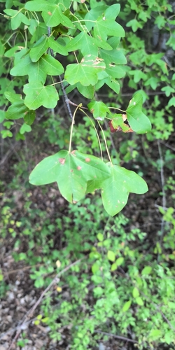
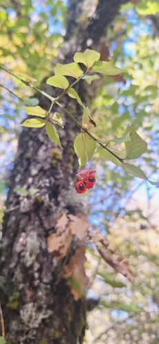
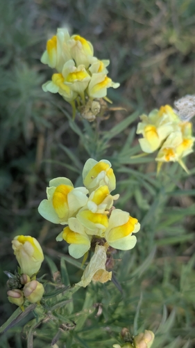
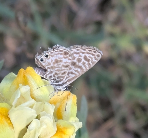
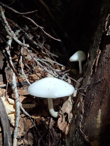
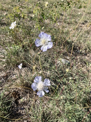
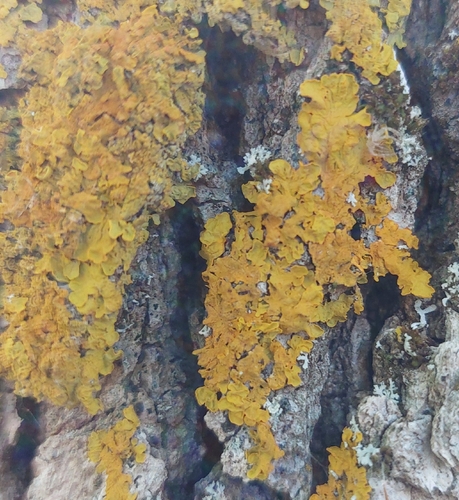
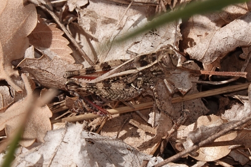
Research-grade observations from iNaturalist (within ~15 mi).
Events
Gallery
Official Identifiers
ISTAT — Italian National Institute of Statistics
- ISTAT code
- 066011
- Province
- L'Aquila (AQ)
- Region
- Abruzzo
- NUTS3 (2024)
- ITF11
- Codice catastale
- A884
Elenco comuni italiani (CC BY 3.0 IT)
Sources
- • Wikidata
- • Open-Meteo Air Quality (CAMS)
- • USGS Earthquake Catalog (global feed)
- • GBIF (Global Biodiversity Information Facility)
- • iNaturalist
- • Open-Meteo / sunrise-sunset.org
- • ISTAT — Italian national statistics (Elenco comuni italiani), via istat.it (official ISTAT code, province, region, NUTS3, codice catastale)
- • ISTAT — Italian National Institute of Statistics — Elenco comuni italiani (CC BY 3.0 IT)