Browse / Italy / Sardinia / Bosa
Bosa
Sardiniavillage

Bosa
Total population
7,935
Demographic figures from ISTAT. Overview below cites Wikipedia and may reference a different year.
City facts
Sister cities
Facts from Wikidata (CC0).
Overview
Bosa is a town and comune in the province of Oristano, part of the Sardinia region of Italy. Bosa is situated about two-thirds of the way up the west coast of Sardinia, on a small hill, about 3 kilometres inland on the north bank of the Temo River. It is the only town on the island of Sardinia built on the banks of a river. The town has maintained a population of around 8,000 people for a significant amount of time, but has an urban character that has differentiated it from other locations in Sardinia. It is one of I Borghi più belli d'Italia. Agriculture and fishing play an important part in the city economy, thanks to the river valley near the coast surrounded by hills and highland plateaus.
Read more on WikipediaHistory & geography
History
The area was inhabited since prehistorical times, as attested by the presence of several domus de janas and nuraghe. It was probably founded by the Phoenicians, although little is known about the original settlement. Under the Romans it was a municipium. The present town of Bosa was founded in 13th century by the Malaspina family, 2.5 km (1.5 miles) from the site of the ancient town. In the early Middle Ages, as part of the Giudicato of Logudoro, it was a provincial capital. After the construction of the Malaspina Castle, the population gradually moved from the seaside to the hills. It remained in the hands of the Malaspina until the 14th century, when it was taken over by the Crown of Aragon. Along with the rest of Sardinia, it was later ruled by Spain. For a short period in between, it was a part of the Giudicato of Arborea. Bosa is known for a classical way of saying: you do like they do in Bosa: if it rains, they let it rain.
Excerpted from the corresponding Wikipedia article (CC BY-SA).
Geography
Coordinates & boundaries from the US Census TIGER/Line shapefiles.
Climate
Air quality
Walkability
Amenities nearby
Wildlife & biodiversity
Earthquake history
Photos
Sights & places nearby
Notable people from here


People born within ~10 km, from Wikidata (CC0). Click any name for their Wikipedia article.
Nearby places in Sardinia
- Bosa Marina1 mi away
- Mòdolo/Modolo2.2 mi away · pop. 181
- Magumadas/Magomadas2.6 mi away · pop. 596
- Sune/Suni2.9 mi away · pop. 1,237
- Flùssio/Flussio3 mi away · pop. 497
- Tinnura3.3 mi away · pop. 272
- Sàgama/Sagama4.8 mi away · pop. 213
- Montresta5.3 mi away · pop. 650
- Sinnariolo/Sennariolo6.5 mi away · pop. 173
- Iscanu/Scano di Montiferro7.2 mi away · pop. 1,725
- Sindìa/Sindia8.3 mi away · pop. 1,971
- Cùllieri/Cuglieri8.3 mi away · pop. 2,825
Geography & sun
Elevation, sunrise/sunset and daylight from Open-Meteo. Solar climatology from NASA POWER.
Nearby airports
Public attention
Pageview totals from the Wikimedia Pageviews API.
Books about Bosa
Search results from Open Library.
Recent natural events nearby
Ground air-quality sensors
Recently spotted species
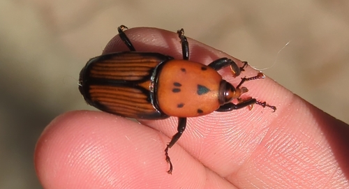
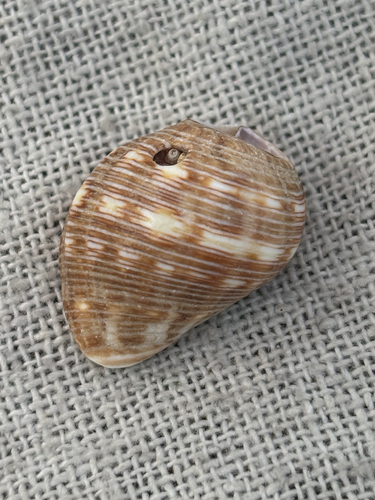
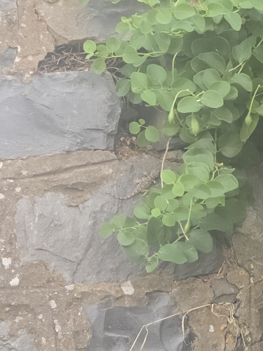
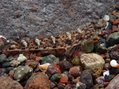
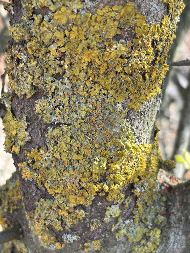
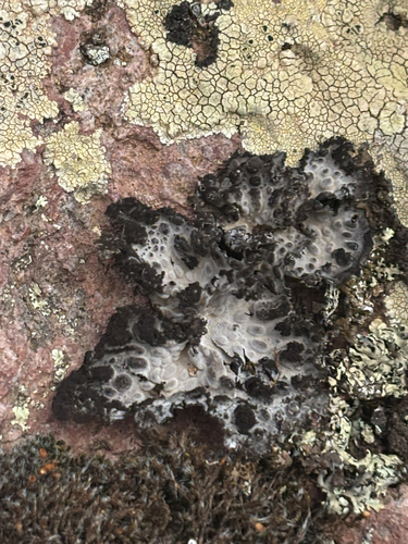
Research-grade observations from iNaturalist (within ~15 mi).
Events
Gallery
Official Identifiers
ISTAT — Italian National Institute of Statistics
- ISTAT code
- 095079
- Province
- Oristano (OR)
- Region
- Sardegna
- NUTS3 (2024)
- ITG2G
- Codice catastale
- B068
Elenco comuni italiani (CC BY 3.0 IT)
Sources
- • Wikipedia
- • Wikidata
- • iNaturalist
- • Open-Meteo / sunrise-sunset.org
- • Wikipedia Pageviews API
- • Open Library
- • ISTAT — Italian national statistics (Elenco comuni italiani), via istat.it (official ISTAT code, province, region, NUTS3, codice catastale)
- • ISTAT — Italian National Institute of Statistics — Elenco comuni italiani (CC BY 3.0 IT)