Browse / Italy / Lombardy / Brescia
Brescia
Lombardycity

Brescia
Total population
187,567
Demographic figures from ISTAT. Overview below cites Wikipedia and may reference a different year.
City facts
Sister cities
Facts from Wikidata (CC0).
Overview
Brescia is a city and comune (municipality) in the region of Lombardy, in Italy. It is situated at the foot of the Alps, a few kilometers from the lakes Garda and Iseo. With a population of 201,715, it is the second largest city in Lombardy behind Milan, the fourth largest in northwest Italy and it is the northernmost Italian city among those with over 200,000 inhabitants. The urban area of Brescia extends beyond the administrative city limits and has a population of 672,822, while over 1.5 million people live in its metropolitan area. The city is the administrative capital of the Province of Brescia, one of the largest in Italy, with over 1.2 million inhabitants.
Read more on WikipediaHistory & geography
History
Various myths relate to the founding of Brescia: one assigns it to Hercules, while another attributes its foundation as ("the other Ilium") by a fugitive from the siege of Troy. According to another myth, the founder was the king of the Ligures, Cidnus, who had invaded the Padan Plain in the late Bronze Age. (Cidnus's Hill) was named after that version, and it is the site of the medieval castle. This myth seems to have a grain of truth, because recent archaeological excavations have unearthed remains of a settlement dating back to 1,200 BC that scholars presume to have been built and inhabited by Ligures peoples. Others scholars attribute the founding of Brescia to the Etruscans. The Gallic Cenomani, allies of the Insubres, invaded in the 7th century BC, and used the town as their capital. The city became Roman in 225 BC, when the Cenomani submitted to the Romans. During the Carthaginian Wars, 'Brixia' (as it was called then) was allied with the Romans. During a Celtic alliance against Rome the city remained faithful to the Romans. With their Roman allies the city attacked and destroyed the Insubres by surprise. Subsequently, the city and the tribe entered the Roman world peacefully as faithful allies, maintaining a certain administrative freedom. In 89 BC, Brixia was recognized as ("city"), and in 41 BC, 48 years later, its inhabitants finally received Roman citizenship. Augustus founded a civil (not military) colony there in 27 BC, and he and Tiberius constructed an aqueduct to supply it. Roman Brixia had at least three temples, an aqueduct, a theatre, a forum with another temple built under Vespasianus, and some baths. As Constantine I advanced against Maxentius in AD 312, an engagement took place at Brixia in which the…
Geography
Brescia is located in the northwestern section of the Po Valley, at the foot of the Brescian Prealps, between the Mella and the Naviglio, with the Lake Iseo to the west and the Lake Garda to the east (but it has also other important lakes like Idro and Moro). The southern area of the city is flat, while towards the north the territory becomes hilly. The city's lowest point is above sea level, the highest point is Monte Maddalena at , while the centre of the town is . The administrative comune covers a total area of . Modern Brescia has a central area focused on residential and tertiary activities. Around the city proper, lies a vast urban agglomeration with over 600,000 inhabitants that expands mainly to the north, to the west and to the east, engulfing many communes in a continuous urban landscape. According to the Köppen climate classification, Brescia has a mid-latitude humid subtropical climate (Cfa). Its average annual temperature is : during the day and at night. The warmest months are June, July, and August, with high temperatures from . The coldest are December, January, and February, with low temperatures from . Winter is moderately cold, but not harsh, with some snow, mainly occurs from December through February, but snow cover does not usually remain for long. Summer can be sultry, when humidity levels are high and peak temperatures can reach . Spring and autumn are generally pleasant, with temperatures ranging between . The relative humidity is high throughout the year, especially in winter when it causes fog, mainly from dusk until late morning, although the phenomenon has become increasingly less frequent in recent years. Precipitation is spread evenly throughout the year. The driest month is December, with precipitation of , while the wettest…
Excerpted from the corresponding Wikipedia article (CC BY-SA).
Geography
Coordinates & boundaries from the US Census TIGER/Line shapefiles.
Climate
Air quality
Walkability
Amenities nearby
Wildlife & biodiversity
Most-observed species
- Eurasian BlackbirdTurdus merula Linnaeus, 1758 · Aves1,080
- Hooded CrowCorvus cornix Linnaeus, 1758 · Aves946
- MallardAnas platyrhynchos Linnaeus, 1758 · Aves880
- Common Wood-PigeonColumba palumbus Linnaeus, 1758 · Aves872
- European RobinErithacus rubecula (Linnaeus, 1758) · Aves822
- Eurasian MagpiePica pica (Linnaeus, 1758) · Aves800
- Common ChaffinchFringilla coelebs Linnaeus, 1758 · Aves774
- Great Cormorant/European ShagPhalacrocorax carbo (Linnaeus, 1758) · Aves704
Citizen-science & research observations from the Global Biodiversity Information Facility (GBIF).
Earthquake history
Most recent
- M 3.2 — 2026-01-094 km N of Gargnano, Italy
- M 3 — 2025-10-031 km SE of Montescano, Italy
- M 2.7 — 2025-05-202 km NE of Besenello, Italy
- M 3 — 2024-05-221 km N of Collecchio, Italy
- M 4.1 — 2024-02-173 km SE of Basilicanova, Italy
- M 4.2 — 2024-02-091 km ENE of Pilastro, Italy
Events from the USGS Earthquake Catalog (global) (FDSN Event Web Service).
Photos
Sights & places nearby
Notable people from here


People born within ~10 km, from Wikidata (CC0). Click any name for their Wikipedia article.
Nearby places in Lombardy
- Botticino Sera4 mi away · pop. 9,730
- Torbole5.4 mi away · pop. 5,113
- Castenedolo6 mi away · pop. 11,461
- Caino6.8 mi away · pop. 1,614
- Capriano del Colle7.3 mi away · pop. 3,856
- Vallosa7.8 mi away
- Cazzago San Martino9.8 mi away · pop. 4,390
- Gardone Val Trompia10.4 mi away · pop. 10,952
- Odolo11 mi away · pop. 1,904
- Sulzano11.9 mi away · pop. 1,467
- Preseglie12.3 mi away · pop. 1,477
- Peschiera Maraglio12.3 mi away
Geography & sun
Elevation, sunrise/sunset and daylight from Open-Meteo. Solar climatology from NASA POWER.
Nearby airports
Public attention
Pageview totals from the Wikimedia Pageviews API.
Books about Brescia
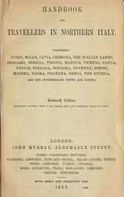
Search results from Open Library.
Recent natural events nearby
Ground air-quality sensors
Recently spotted species
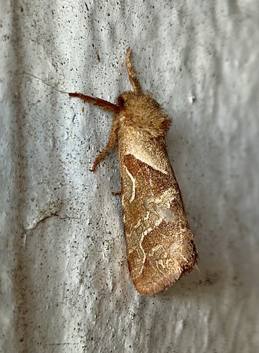
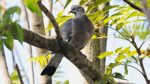
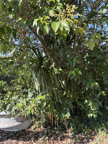
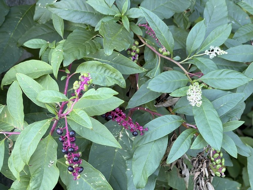
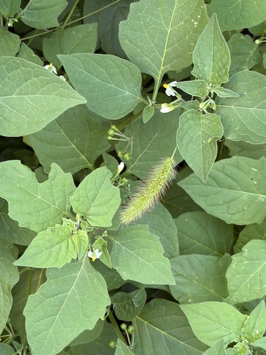
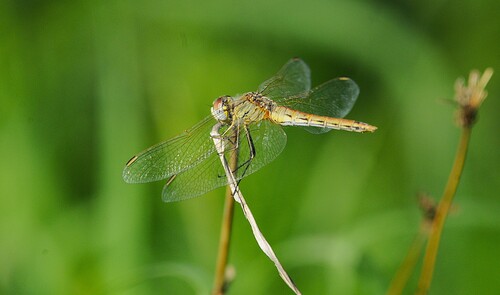
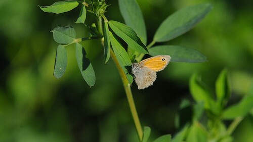
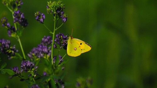
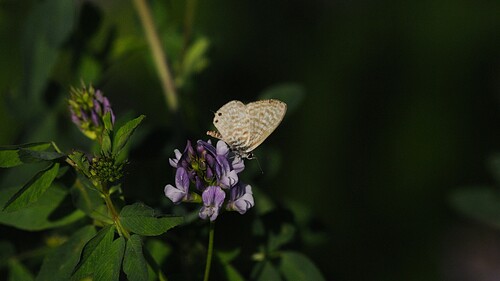
Research-grade observations from iNaturalist (within ~15 mi).
Events
Gallery
Official Identifiers
ISTAT — Italian National Institute of Statistics
- ISTAT code
- 017029
- Province
- Brescia (BS)
- Region
- Lombardia
- NUTS3 (2024)
- ITC47
- Codice catastale
- B157
- Province capital
- Yes
Elenco comuni italiani (CC BY 3.0 IT)
Sources
- • Wikipedia
- • Wikidata
- • USGS Earthquake Catalog (global feed)
- • GBIF (Global Biodiversity Information Facility)
- • iNaturalist
- • Open-Meteo / sunrise-sunset.org
- • Wikipedia Pageviews API
- • Open Library
- • ISTAT — Italian national statistics (Elenco comuni italiani), via istat.it (official ISTAT code, province, region, NUTS3, codice catastale)
- • ISTAT — Italian National Institute of Statistics — Elenco comuni italiani (CC BY 3.0 IT)