Browse / Italy / Aosta Valley / Breuil-Cervinia
Breuil-Cervinia
Aosta Valleyvillage

Breuil-Cervinia
Total population
700
Demographic figures from ISTAT. Overview below cites Wikipedia and may reference a different year.
City facts
Facts from Wikidata (CC0).
Overview
Breuil-Cervinia is a frazione of the comune of Valtournenche, Italy. It is a winter and summer tourist resort.
Read more on WikipediaHistory & geography
History
Breuil-Cervinia has a short history. Until the beginning of the 19th century, the Breuil basin was just a pasture, with a group of shepherds living in a few alpine cottages only in summer. However, in the Middle Ages, the Breuil was an important crossroad for merchants who had to cross the Alps and for the settlement of the Walser community in the near the Ayas and Lys valleys. The real growth of the town began in the 1850s with the birth of alpinism all over the Alps. The explorations of Horace-Bénedict de Saussure through the Savoy Alps in the 1700s heightened interest in the Matterhorn and the other mountains of the Savoyard state, particularly among the English bourgeoisie, who were increasingly interested in wilderness travel. Resident shepherds, such as Jean-Antoine Carrel, had long looked upon their home mountain as something attainable, and made the first attempts to ascend the Matterhorn from the south face. Many European mountain climbers saw the Matterhorn as a great challenge, and the arrival of John Tyndall and Edward Whymper in Breuil began competition for the first complete ascent, aided by Jean-Antoine's knowledge of the territory. The construction of some bases became necessary. Some examples are the first Refuge du Théodule (built in 1852) at 3317 m (10882.6 ft), the Jumeaux Hotel and the Hôtel du Cervin. After years of collaboration with Jean-Antoine Carrel, the competition was won by Edward Whymper in 1865, after he realised that the Hörnli ridge was easier to climb. Only three days later, Jean-Antoine Carrel was able to climb the Matterhorn by the more difficult Lion ridge. After Edward Whymper's ascent team on the north face met with disaster while returning to Zermatt, Amé Gorret, a fellow climber and fellow countryman of…
Geography
Breuil-Cervinia lies at above sea level, at the foot of the Matterhorn, in the Valtournenche valley and surrounded by the Jumeaux, the Château des Dames, the Furggen and the Grandes Murailles summits. It shares a ski area with Zermatt through the Plateau Rosa glacier (). The ski season in Breuil-Cervinia lasts not only 6 months in winter but also in summer on the Plateau Rosa glacier. The Theodul Pass lies on the territory of Breuil-Cervinia. The village is divided by the Marmore creek.
Excerpted from the corresponding Wikipedia article (CC BY-SA).
Geography
Coordinates & boundaries from the US Census TIGER/Line shapefiles.
Climate
Air quality
Walkability
Amenities nearby
Wildlife & biodiversity
Earthquake history
Photos
Sights & places nearby
Notable people from here


People born within ~10 km, from Wikidata (CC0). Click any name for their Wikipedia article.
Geography & sun
Nearby airports
Public attention
Books about this place
Recent natural events nearby
Ground air-quality sensors
Recently spotted species
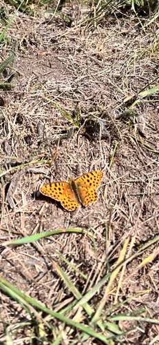
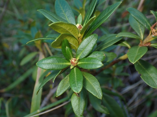
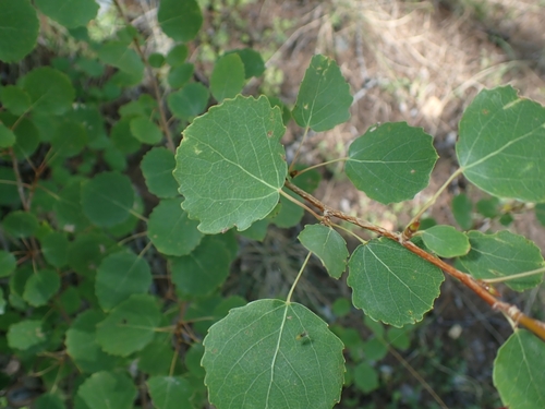
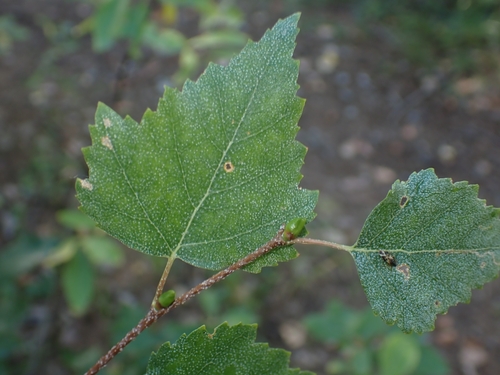
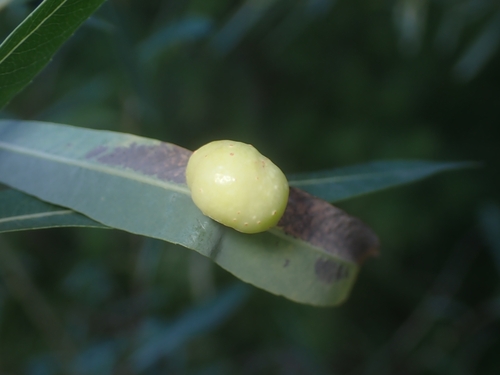
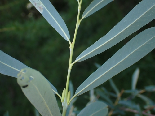
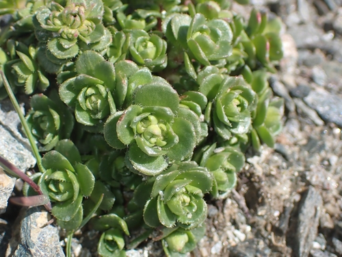
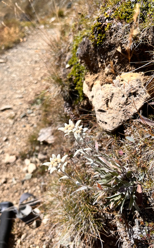
Research-grade observations from iNaturalist (within ~15 mi).
Events
Gallery
Sources
- • Wikipedia
- • Wikidata
- • iNaturalist