Browse / Italy / Sardinia / Cagliari
Cagliari
Sardiniacity

Cagliari
Total population
154,478
Demographic figures from ISTAT. Overview below cites Wikipedia and may reference a different year.
City facts
Sister cities
Facts from Wikidata (CC0).
Overview
Cagliari is a municipality and the capital and largest city of the island of Sardinia, an autonomous region of Italy. It has about 145,981 inhabitants, while its metropolitan city, including 69 other nearby municipalities, has about 536,245 inhabitants. According to Eurostat, the population of the functional urban area, the commuting zone of Cagliari, rises to 476,975. Cagliari is the 27th largest city proper in Italy.
Read more on WikipediaHistory & geography
History
The legend, narrated by the Latin writer Gaius Julius Solinus, says that Caralis was founded by Aristaeus, son of the god Apollo and the nymph Cyrene. Aristaeus introduced hunting and agriculture to Sardinia, reconciled the indigenous populations who were fighting among themselves and founded the city of Caralis, over which he later reigned. The Cagliari area has been inhabited since the Neolithic. It occupies a favourable position between the sea and a fertile plain and is surrounded by two marshes (which provides defence against attacks from the inland). There are high mountains nearby, to which people could evacuate if the settlement had to be given up. Relics of prehistoric inhabitants were found in the hill of Monte Claro (Monte Claro culture) and in Cape Sant'Elia (several domus de janas). File:MONTE CLARO.jpg|Monte Claro culture pottery File:Mosaico Karalitani Ostia.jpg|Karalitan ship owners and traders, mosaic in Ostia Antica Karaly (, ) was established around the 8th/7th century BC as one of a string of Phoenician colonies in Sardinia, including Tharros. The etymology of the toponym is unknown. It almost certainly does not come from the Phoenician language, but it has some similarities with other Sardinian or Asia Minor toponyms. Its founding is linked to its position along communication routes with Africa as well as to its excellent port. The Phoenician settlement was located in the Stagno di Santa Gilla, west of the present centre of Cagliari. This was also the site of the Roman Portus Scipio, and when Arab pirates raided the area in the 8th century it became the refuge for people fleeing from the city. Other Phoenician settlements have been found at Cape Sant'Elia. In the late 6th century BC Carthage took control of part of Sardinia, and Cagliari grew…
Geography
The city of Cagliari is situated in the south of Sardinia, overlooking the centre of the eponymous gulf, also called Golfo degli Angeli ("Bay of Angels") after an ancient legend. The city is spread over and around the hill of the historic district of Castello and nine other limestone hills of the middle-to-late Miocene, unique heights of a little more than above sea level on the long plains of Campidano. The plain is actually a Graben formed during the Alpine orogeny of the Cenozoic, which separated Sardinia from the European continent, roughly where the Gulf of Lion is now. The Graben filled in the course of tectonic movements associated with the breakup of the ancient island Paleozoic skeleton. The repeated intrusion of the sea left calcareous sediments that formed a series of hills that mark the territory of Cagliari. Castello is where the fortified town arose in the Middle Age near the harbour of the port, other hills are those of Mount Urpinu, the St. Elias hill, also known as the Sella del Diavolo ("Saddle of the Devil") for its shape, Tuvumannu and Tuvixeddu, the site of the ancient Punic and Roman necropolis, the small Bonaria hill, where the basilica stands, and the San Michele hill, with the eponymous castle on top. The modern city occupies the flat spaces between the hills and the sea to the south and southeast, along the Poetto beach, the lagoons and ponds of Santa Gilla and Molentargius, and the remains of more recent marine intrusions, in an articulate landscape with many landmarks and panoramas of the bay, the plain, and the mountains that surround it on the east (The Seven Brothers and Serpeddì) and west (the mountains of Capoterra). On the cold, clear days of winter, the snowy peaks of Gennargentu can be seen from the highest points of the city. The…
Excerpted from the corresponding Wikipedia article (CC BY-SA).
Geography
Coordinates & boundaries from the US Census TIGER/Line shapefiles.
Climate
Air quality
Walkability
Amenities nearby
Wildlife & biodiversity
Earthquake history
Photos
Sights & places nearby
Notable people from here


People born within ~10 km, from Wikidata (CC0). Click any name for their Wikipedia article.
Nearby places in Sardinia
- Pauli/Monserrato3 mi away · pop. 20,829
- Ceraxus/Selargius4 mi away · pop. 28,911
- Cuartu Sant'Aleni/Quartu Sant'Elena4.3 mi away · pop. 70,343
- Quartucciu4.3 mi away · pop. 10,766
- Su Masu/Elmas4.9 mi away · pop. 7,930
- Sestu5.8 mi away · pop. 15,233
- Sètimu/Settimo San Pietro6.4 mi away · pop. 5,949
- Residenza del Sole6.7 mi away · pop. 2,131
- La Maddalena7.1 mi away · pop. 797
- Sinnai7.7 mi away · pop. 15,235
- Maracalagonis7.8 mi away · pop. 6,731
- Assemini7.9 mi away · pop. 23,973
Geography & sun
Elevation, sunrise/sunset and daylight from Open-Meteo. Solar climatology from NASA POWER.
Nearby airports
Public attention
Pageview totals from the Wikimedia Pageviews API.
Books about Cagliari


Search results from Open Library.
Recent natural events nearby
Ground air-quality sensors
Recently spotted species
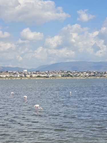
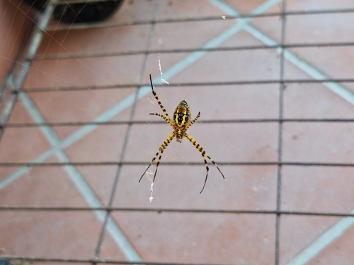
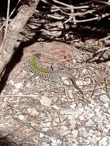
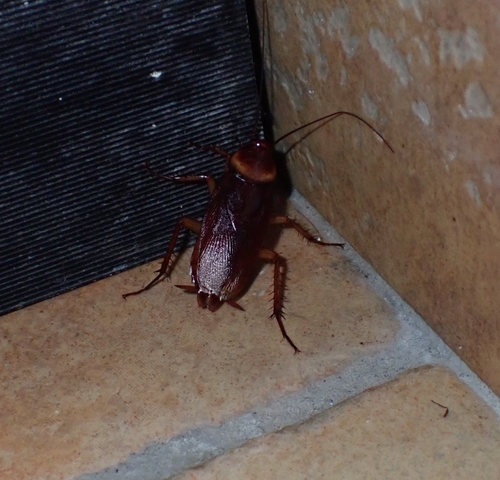
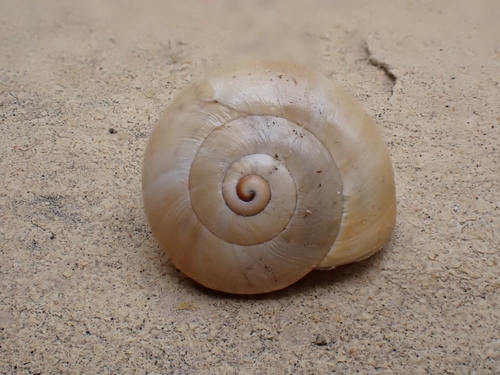
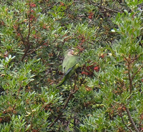
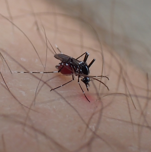
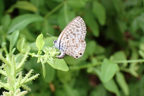
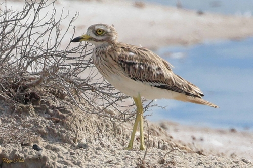
Research-grade observations from iNaturalist (within ~15 mi).
Events
Gallery
Official Identifiers
ISTAT — Italian National Institute of Statistics
- ISTAT code
- 092009
- Province
- Cagliari (CA)
- Region
- Sardegna
- NUTS3 (2024)
- ITG2F
- Codice catastale
- B354
- Province capital
- Yes
Elenco comuni italiani (CC BY 3.0 IT)
Sources
- • Wikipedia
- • Wikidata
- • iNaturalist
- • Open-Meteo / sunrise-sunset.org
- • Wikipedia Pageviews API
- • Open Library
- • ISTAT — Italian national statistics (Elenco comuni italiani), via istat.it (official ISTAT code, province, region, NUTS3, codice catastale)
- • ISTAT — Italian National Institute of Statistics — Elenco comuni italiani (CC BY 3.0 IT)