Browse / Italy / Lazio / Capena
Capena
Laziotown

Capena
Total population
10,592
Demographic figures from ISTAT. Overview below cites Wikipedia and may reference a different year.
City facts
Facts from Wikidata (CC0).
Overview
Capena is a town and comune in the Metropolitan City of Rome, Lazio region. The town has borrowed its modern name from a pre-Roman and Roman settlement that was 3 kilometres (1.9 mi) to its north.
Read more on WikipediaHistory & geography
History
The original Capena occupied the plateau of a nowadays uninhabited hill called La Civitucola, which is about northeast of a post station on the ancient Via Flaminia. The settlement continued to exist until the collapse of the Western Roman Empire, after which all traces of it were lost. It was not until the pioneering work of Pierluigi Galletti in the mid-18th century that Capena's former location was identified. Even then, it took more than a hundred years for other historians to reach a consensus that Galletti had been correct. Recent archaeological studies have revealed that ancient Capena may have retained a vibrant urban life and some degree of regional significance for longer than had previously been believed. The site of present-day Capena has been inhabited intermittently since prehistoric times and archaeological finds dating from the seventh century BC indicate that the inhabitants used a distinctive alphabet (now called the Capena-Leprignano alphabet by philologists) for inscriptions written in the Faliscan language. Continuous habitation began in the 11th century AD, when the Benedictine monastery of Saint Paul – now usually referred to as the Palazzo dei Monaci (Palace of the Monks) – was established on the tuff outcrop known as ‘la Rocca’ (the Rock). The main frontage of the palazzo faces the Piazza del Popolo, the largest public space in Capena. Originally simply called the ‘Piazza’, the square was laid out in the 16th century, when its extant clock tower was erected on the north side. The surviving monastery complex dates primarily from the Renaissance era, with extensive modifications in 1851. Despite occasional popular uprisings, the entire village remained under monastic jurisdiction until the fall of the Papal States in 1870, when Leprignano…
Geography
Capena is located north of Rome (as the crow flies), above the valley of the Tiber. The old quarter stands on a hill overlooking the valley of the Fosso di Morlupo to the west, while the modern district extends into the eastern plain. The neighbouring towns are Castelnuovo di Porto, Civitella San Paolo, Fiano Romano, Monterotondo, Morlupo and Rignano Flaminio.
Excerpted from the corresponding Wikipedia article (CC BY-SA).
Geography
Coordinates & boundaries from the US Census TIGER/Line shapefiles.
Climate
Air quality
Walkability
Amenities nearby
Wildlife & biodiversity
Earthquake history
Photos
Sights & places nearby
Notable people from here


People born within ~10 km, from Wikidata (CC0). Click any name for their Wikipedia article.
Nearby places in Lazio
- Castelnuovo di Porto2.3 mi away · pop. 8,630
- Riano3.3 mi away · pop. 10,466
- Montelarco3.3 mi away · pop. 1,001
- Sacrofano5.4 mi away · pop. 7,119
- Magliano Romano5.5 mi away · pop. 1,322
- Rignano Flaminio5.7 mi away · pop. 10,277
- Passo Corese5.8 mi away · pop. 6,480
- Sant'Oreste6.6 mi away · pop. 3,536
- Borgo Santa Maria7.2 mi away
- Monterotondo7.3 mi away · pop. 40,830
- Faleria7.7 mi away · pop. 2,324
- Torrita Tiberina7.7 mi away · pop. 932
Geography & sun
Elevation, sunrise/sunset and daylight from Open-Meteo. Solar climatology from NASA POWER.
Nearby airports
Public attention
Pageview totals from the Wikimedia Pageviews API.
Books about Capena


Search results from Open Library.
Recent natural events nearby
Ground air-quality sensors
Recently spotted species
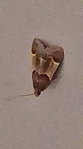
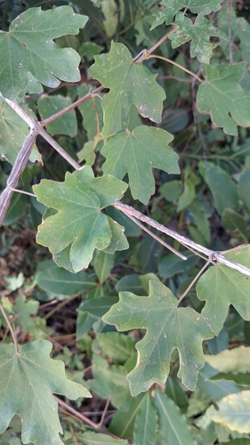
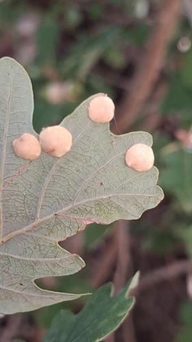
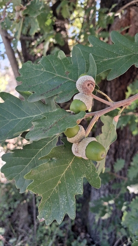
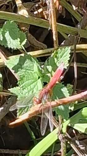

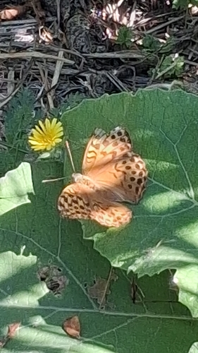
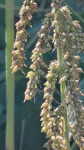

Research-grade observations from iNaturalist (within ~15 mi).
Events
Gallery
Official Identifiers
ISTAT — Italian National Institute of Statistics
- ISTAT code
- 058018
- Province
- Roma (RM)
- Region
- Lazio
- NUTS3 (2024)
- ITI43
- Codice catastale
- B649
Elenco comuni italiani (CC BY 3.0 IT)
Sources
- • Wikipedia
- • Wikidata
- • iNaturalist
- • Open-Meteo / sunrise-sunset.org
- • Wikipedia Pageviews API
- • Open Library
- • ISTAT — Italian national statistics (Elenco comuni italiani), via istat.it (official ISTAT code, province, region, NUTS3, codice catastale)
- • ISTAT — Italian National Institute of Statistics — Elenco comuni italiani (CC BY 3.0 IT)