Browse / Italy / Tuscany / Chianciano Terme
Chianciano Terme
Tuscanyvillage

Chianciano Terme
Total population
7,105
Demographic figures from ISTAT. Overview below cites Wikipedia and may reference a different year.
City facts
Sister cities
Facts from Wikidata (CC0).
Overview
Chianciano Terme is a comune (municipality) in the Province of Siena in the Italian region Tuscany, located about 90 kilometres (56 mi) southeast of Florence and about 50 kilometres (31 mi) southeast of Siena. It is located between the Valdichiana and the Val d'Orcia.
Read more on WikipediaHistory & geography
History
Chianciano Terme history dates back to the 5th century BC, when the Etruscans built a temple dedicated to the god of Good Health, close to the Silene springs where the newer quarter of Chianciano (the Terme section) stands today. News of the curative power of Chianciano's water became well known during Roman times, as Horace visited the area on the advice of his physician during the 1st century BC. Luxurious Roman villas were built in the area near the thermal baths. In 1993 bathhouse columns and an enormous tile-paved swimming pool have been excavated as part of a major spa complex unlike anything else ever found in the Siena region and one of the largest in Italy, and consistent with Horace's description. There is little archaeological evidence of much activity during the Middle Ages, but, by the 12th and 13th centuries, Chianciano belonged to the Manenti Counts, Lords of Sarteano. Its position close to the Via Francigena (the medieval main connection from Rome to France) fostered its development, and Chianciano reached a degree of judicial autonomy by 1287 when it established its own statutes. In the 14th century, the city states of Orvieto and Siena contended for it, with Siena being the ultimate victor. The first decades of the 20th century saw the area around the springs (the Terme section) draw the attention of developers. Between 1920 and 1930 neoclassical establishments with Pompeian-style bowers were built, then destroyed in 1940 when the Fascist-controlled state took possession. While under state control, a new town plan was designed by architects Loreti and Marchi, who also designed some spas in the Acqua Santa Park. The town plan was adjusted by the Town Technical Office of Chianciano in 1958 and passed in 1961.
Excerpted from the corresponding Wikipedia article (CC BY-SA).
Geography
Coordinates & boundaries from the US Census TIGER/Line shapefiles.
Climate
Air quality
Walkability
Amenities nearby
Wildlife & biodiversity
Earthquake history
Photos
Sights & places nearby
Notable people from here


People born within ~10 km, from Wikidata (CC0). Click any name for their Wikipedia article.
Nearby places in Tuscany
- Sant'Albino1.5 mi away
- Gracciano5.1 mi away
- Monticchiello5.2 mi away · pop. 202
- Montepulciano Stazione5.5 mi away
- Montefollonico6.4 mi away · pop. 480
- Contignano7.1 mi away
- Bettolle10.3 mi away
- Terontola14 mi away · pop. 1,591
- Torrenieri14.3 mi away
- Terontola Alta14.4 mi away
- Monterongriffoli14.5 mi away
- Cortoreggio14.6 mi away
Geography & sun
Elevation, sunrise/sunset and daylight from Open-Meteo. Solar climatology from NASA POWER.
Nearby airports
Public attention
Pageview totals from the Wikimedia Pageviews API.
Books about Chianciano Terme

Search results from Open Library.
Recent natural events nearby
Ground air-quality sensors
Recently spotted species
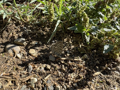
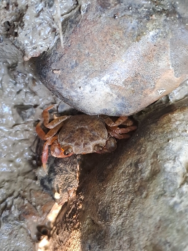
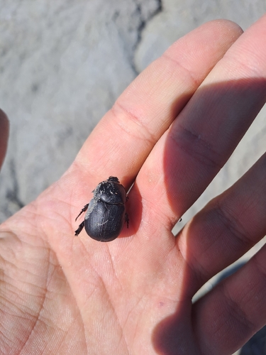
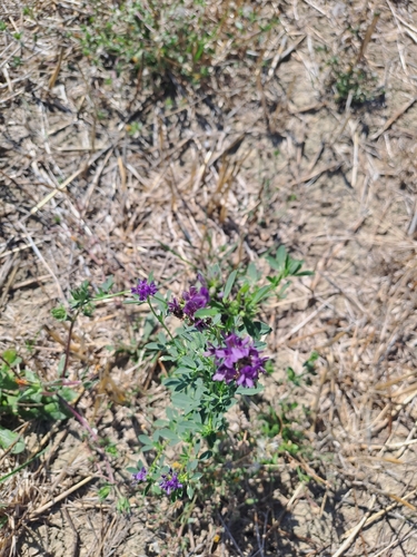
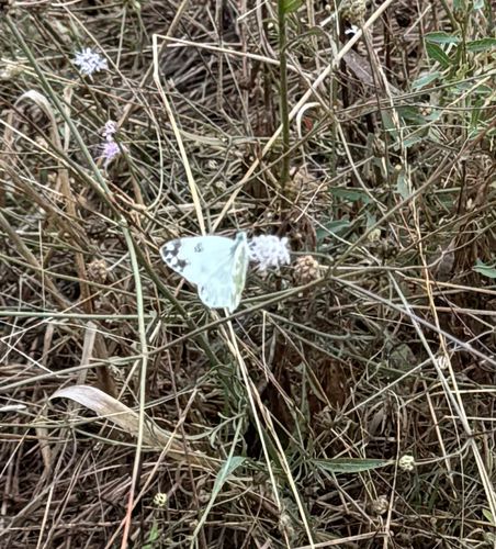
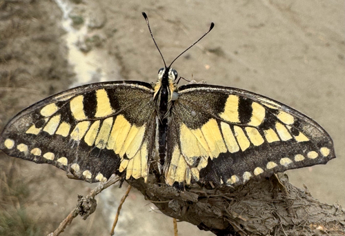
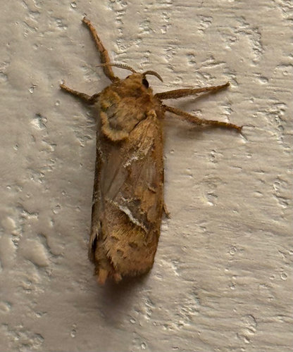
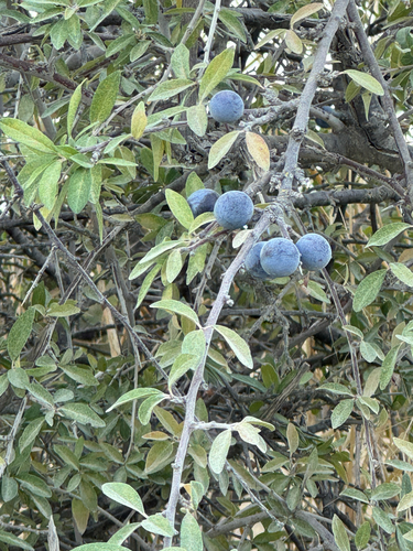
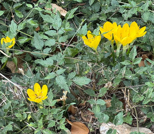
Research-grade observations from iNaturalist (within ~15 mi).
Events
Gallery
Official Identifiers
ISTAT — Italian National Institute of Statistics
- ISTAT code
- 052009
- Province
- Siena (SI)
- Region
- Toscana
- NUTS3 (2024)
- ITI19
- Codice catastale
- C608
Elenco comuni italiani (CC BY 3.0 IT)
Sources
- • Wikipedia
- • Wikidata
- • iNaturalist
- • Open-Meteo / sunrise-sunset.org
- • Wikipedia Pageviews API
- • Open Library
- • ISTAT — Italian national statistics (Elenco comuni italiani), via istat.it (official ISTAT code, province, region, NUTS3, codice catastale)
- • ISTAT — Italian National Institute of Statistics — Elenco comuni italiani (CC BY 3.0 IT)