Browse / Italy / Piedmont / Chieri
Chieri
Piedmonttown

Chieri
Total population
32,868
Demographic figures from ISTAT. Overview below cites Wikipedia and may reference a different year.
City facts
Overview
Chieri is a town and comune in the Metropolitan City of Turin, Piedmont (Italy), located about 11 kilometres southeast of Turin, 15 km (9 mi) by rail and 13 km (8 mi) by road. It borders the following municipalities: Baldissero Torinese, Pavarolo, Montaldo Torinese, Pino Torinese, Arignano, Andezeno, Pecetto Torinese, Riva presso Chieri, Cambiano, Santena, and Poirino.
Read more on WikipediaHistory & geography
History
Between the Neolithic and the Iron Age, the original inhabitants of this part of the Italian peninsula were the Ligures. The Ligures living in this area of the Po river plain belonged specifically to the Taurini tribe. The location of Chieri is within the Taurini tribe's territory, in the belt of hills which surround Turin. The original settlement was most likely founded by them, being sited on a prominent hill (on which the church of San Giorgio currently stands) and growing to be the geographical focus of the city centre. Its original name would have been Karreum or a variant thereof (e.g. Karreo/Karrea/Carrea); this is based on the root kar, which possibly means "stone", reflecting the typical Ligurian settlement layout of a stone edifice at the centre of a grouping of other habitations within a village, which would have likely been the original layout of Chieri. Sometime around 400 BCE, Celtic tribes crossed the Alps from Gaul and settled the Po river plain. These peoples mingled with the original Ligures, either through conquest or peaceful cohabitation, and gave rise to a Celto-Ligurian people, inhabiting the region which the Romans would call Cisalpine Gaul, i.e. "Gaul this side of the Alps". The Romans, over the two centuries between 400 and 200 BCE, conducted a prolonged counter-offensive to conquer all of the northern Italian peninsula, partially in response to successive invasions, starting with Gauls led by king Brennus in 391 BCE, and later the Carthaginians under the great general Hannibal Barca in 218 BCE. It is likely sometime after 176 BCE that Cisalpine Gaul was completely subdued by Roman legions, and this would have included the village of Karreum itself. This was possibly under the command of Roman consul Caius Claudius Pulcrus, leading a…
Excerpted from the corresponding Wikipedia article (CC BY-SA).
Geography
Coordinates & boundaries from the US Census TIGER/Line shapefiles.
Climate
Air quality
Walkability
Amenities nearby
Wildlife & biodiversity
Most-observed species
- Hooded CrowCorvus cornix Linnaeus, 1758 · Aves2,371
- Eurasian BlackbirdTurdus merula Linnaeus, 1758 · Aves1,847
- Great TitParus major Linnaeus, 1758 · Aves1,651
- Rock PigeonColumba livia J.F.Gmelin, 1789 · Aves1,609
- Common Wood-PigeonColumba palumbus Linnaeus, 1758 · Aves1,492
- MallardAnas platyrhynchos Linnaeus, 1758 · Aves1,416
- Common ChaffinchFringilla coelebs Linnaeus, 1758 · Aves1,358
- European RobinErithacus rubecula (Linnaeus, 1758) · Aves1,215
Citizen-science & research observations from the Global Biodiversity Information Facility (GBIF).
Earthquake history
Most recent
- M 3.9 — 2024-12-098 km WNW of Acceglio, Italy
- M 4.1 — 2023-11-2110 km WSW of Acceglio, Italy
- M 4.1 — 2023-05-1616 km W of Pleyne, Italy
- M 3.3 — 2022-05-026 km SW of Crissolo, Italy
- M 2.9 — 2017-04-084 km W of Valdieri, Italy
- M 4.2 — 2016-07-300 km SSW of Fleccia-Chianavasso, Italy
Events from the USGS Earthquake Catalog (global) (FDSN Event Web Service).
Photos
Sights & places nearby
Notable people from here
Nearby places in Piedmont
- Pino Torinese2.8 mi away · pop. 8,234
- Riva Presso Chieri3 mi away · pop. 4,734
- Pecetto Torinese3.5 mi away · pop. 3,690
- Montaldo Torinese3.8 mi away · pop. 589
- Santena5.1 mi away · pop. 10,738
- Sciolze6.2 mi away · pop. 1,437
- Moncucco Torinese6.6 mi away · pop. 811
- Cinzano7.5 mi away · pop. 331
- Castiglione Torinese7.5 mi away · pop. 5,480
- Rivalba7.9 mi away · pop. 966
- Pino d'Asti8.5 mi away · pop. 226
- San Paolo Solbrito8.5 mi away · pop. 1,059
Geography & sun
Elevation, sunrise/sunset and daylight from Open-Meteo. Solar climatology from NASA POWER.
Nearby airports
Public attention
Pageview totals from the Wikimedia Pageviews API.
Books about Chieri
Search results from Open Library.
Recent natural events nearby
Ground air-quality sensors
Recently spotted species
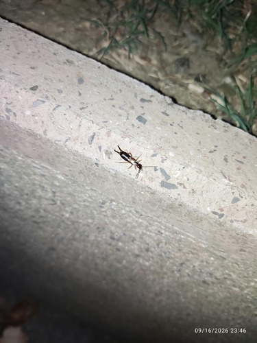
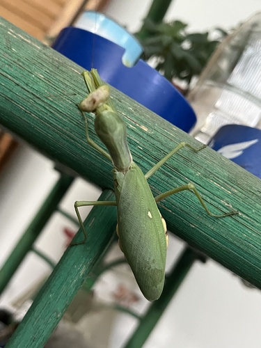
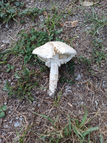
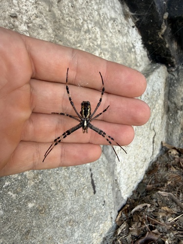
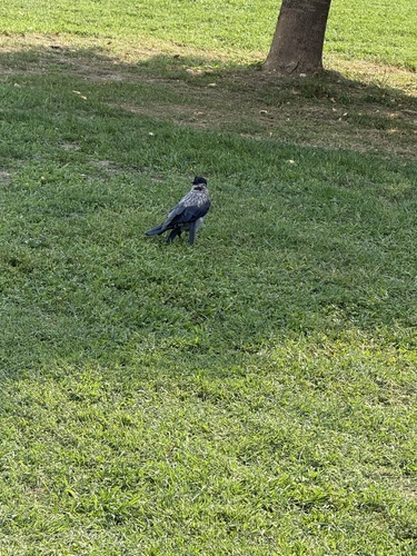
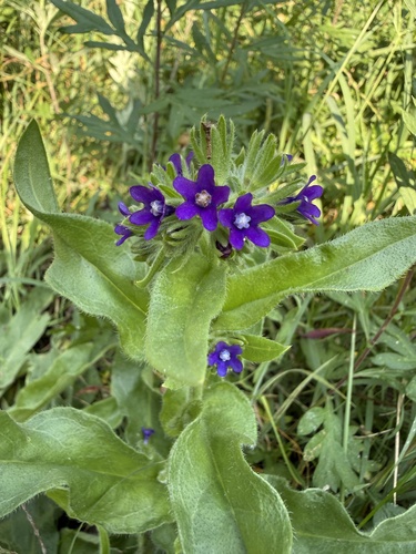
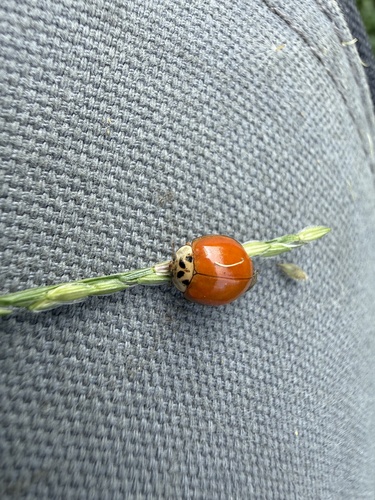
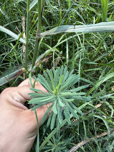
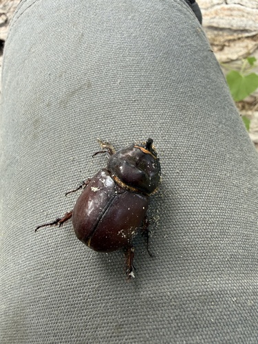
Research-grade observations from iNaturalist (within ~15 mi).
Events
Gallery
Official Identifiers
ISTAT — Italian National Institute of Statistics
- ISTAT code
- 001078
- Province
- Torino (TO)
- Region
- Piemonte
- NUTS3 (2024)
- ITC11
- Codice catastale
- C627
Elenco comuni italiani (CC BY 3.0 IT)
Sources
- • Wikipedia
- • USGS Earthquake Catalog (global feed)
- • GBIF (Global Biodiversity Information Facility)
- • iNaturalist
- • Open-Meteo / sunrise-sunset.org
- • Wikipedia Pageviews API
- • Open Library
- • ISTAT — Italian national statistics (Elenco comuni italiani), via istat.it (official ISTAT code, province, region, NUTS3, codice catastale)
- • ISTAT — Italian National Institute of Statistics — Elenco comuni italiani (CC BY 3.0 IT)