Browse / Italy / Lombardy / Clusane
Clusane
Lombardyvillage
Total population
1,735
Demographic figures from ISTAT. Overview below cites Wikipedia and may reference a different year.
City facts
Facts from Wikidata (CC0).
Overview
Clusane is a locality of the municipality of Iseo, in Lombardy, Italy. Until 1927 it was an independent municipality, with its last mayor being Francesco Martinelli.
Read more on WikipediaHistory & geography
History
Since the Early Middle Ages, Clusane hosted a "castrum," which by the 11th century was already under the control of the Counts of Mozzo or Mozzi, a family of Frankish origin. During the same period, two Cluniac monks were sent to Clusane, where they founded a priory. The monks were engaged in land reclamation and the construction of agricultural structures. In the Cluniac Monastery, which corresponds to today's Carmagnola Castle, the original nucleus of the historic center developed. Among the significant locations in Clusane is also the Chiesa Vecchia (Old Church), a deconsecrated building now transformed into a small theater. Clusane remained an autonomous municipality until 1927, when, with the Royal Decree No. 2253 of November 17, it was merged with Iseo. During the Napoleonic era, the village was annexed to Colombaro but regained its independence with the establishment of the Lombardo-Venetian Kingdom, only to be later reabsorbed into Iseo. In 1861, Clusane had a population of 738 and was included in the district of Chiari. After the 1927 merger with Iseo, a modernization process began, including the construction of the new parish church. Today, the village extends into the surrounding countryside, characterized by the cultivation of cereals, vineyards, mulberries, olive trees, and fruit trees.
Excerpted from the corresponding Wikipedia article (CC BY-SA).
Geography
Coordinates & boundaries from the US Census TIGER/Line shapefiles.
Climate
Air quality
Walkability
Amenities nearby
Wildlife & biodiversity
Earthquake history
Photos
Sights & places nearby
Notable people from here


People born within ~10 km, from Wikidata (CC0). Click any name for their Wikipedia article.
Nearby places in Lombardy
- Viadanica2.5 mi away · pop. 1,028
- Celatica Tolari4.8 mi away
- Peschiera Maraglio4.9 mi away
- Sulzano5.2 mi away · pop. 1,467
- Cazzago San Martino5.8 mi away · pop. 4,390
- Carzano5.9 mi away
- Berzo San Fermo6.2 mi away · pop. 1,142
- Vallosa6.6 mi away
- Marone6.8 mi away · pop. 3,057
- Vello7.4 mi away
- Casazza7.7 mi away · pop. 3,478
- Bianzano8.7 mi away · pop. 521
Geography & sun
Nearby airports
Public attention
Books about this place
Recent natural events nearby
Ground air-quality sensors
Recently spotted species
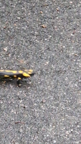
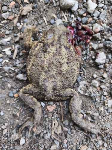
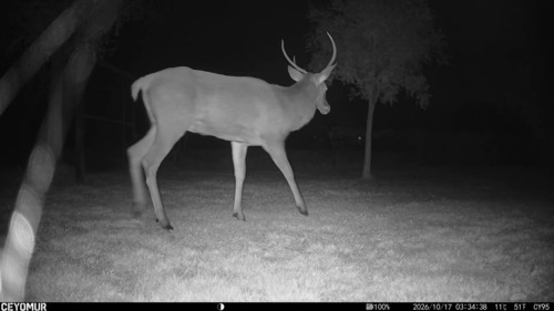
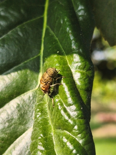
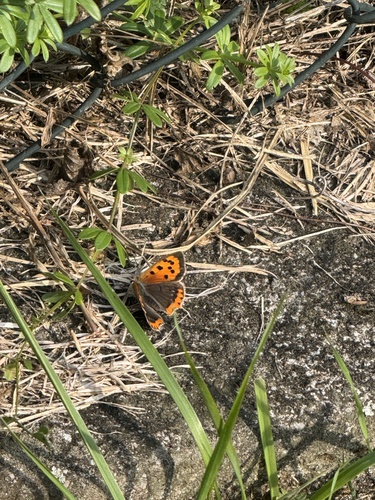
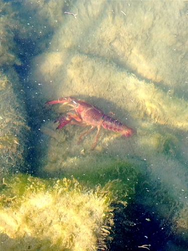
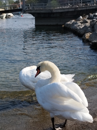
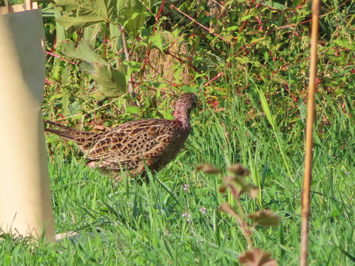
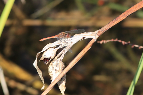
Research-grade observations from iNaturalist (within ~15 mi).
Events
Gallery
Sources
- • Wikipedia
- • Wikidata
- • iNaturalist