Browse / Italy / Umbria / Corciano
Corciano
Umbriavillage

Corciano
Total population
851
Demographic figures from ISTAT. Overview below cites Wikipedia and may reference a different year.
City facts
Facts from Wikidata (CC0).
Overview
Corciano is a comune (municipality) in the Province of Perugia in the Italian region Umbria, located about 8 km west of Perugia. As of 30 June 2025, it had a population of 21,539 and an area of 63.7 km2.
Read more on WikipediaHistory & geography
History
Little is known about the origins and early history of Corciano. A widespread legend holds that Corciano was an Umbrian city and that its founders were either a son of Janus or Corito, king of Cortona. Corciano is first mentioned in 1136. Between the 11th and 12th centuries a fortified town was built, formed through the merging of communities from Palazzo and Pieve del Vescovo. In the Middle Ages Corciano was one of the main centers of the Perugia countryside area. Seigneurial rights across the area belonged to the bishopric of Perugia, which drew income from woodland on the west side of Mount Malbe, but effective power was held by the comune of Perugia. From the first half of the 13th century Corciano was governed by a statute, although the statute is not extant. In 1310 several stones taken from Todi by the Perugians were placed above Porta Santa Maria. In 1367 a certain Francesco Taragone of Corciano was among the seven noble reformers of the Republic and Senate of Rome. In 1416 Corciano resisted the attacks of Braccio Fortebraccio. By the mid-15th century Corciano had fully staffed local institutions, but remained dependent on Perugia and was constrained by Perugia's control and the obligations imposed on it. In 1424 Perugia sent the countryside captain, responsible for policing as well as the upkeep and defense of fortresses, the enforcement of statutory rules, tax collection, oversight of grain imports and peasant migration, and the administration of low-value justice. In 1540 the Salt War marked the end of Perugia's autonomy and Perugia was absorbed into the Papal States. After 1540 local political power in Corciano weakened and taxation increased, especially through the hearth subsidy. During the Wars of Castro of 1641–1649 Corciano was occupied for one…
Geography
Corciano is situated on a hill. In 2021, 1,639 people lived in rural dispersed dwellings not assigned to any named locality. At the time, most of the population lived in Chiugiana-La Commenda (11,382), and Mantignana (2,167). The following localities had no recorded permanent residents: Ponte Cupe.
Excerpted from the corresponding Wikipedia article (CC BY-SA).
Geography
Coordinates & boundaries from the US Census TIGER/Line shapefiles.
Climate
Air quality
Walkability
Amenities nearby
Wildlife & biodiversity
Earthquake history
Photos
Sights & places nearby
Notable people from here


People born within ~10 km, from Wikidata (CC0). Click any name for their Wikipedia article.
Nearby places in Umbria
- San Pietro1.1 mi away · pop. 855
- Mantignana2 mi away · pop. 2,167
- Castelvieto2 mi away
- Chiugiana2 mi away · pop. 11,382
- Villa2.2 mi away · pop. 819
- Capocavallo2.7 mi away · pop. 520
- Soccorso2.7 mi away · pop. 1,062
- Canneto3.1 mi away · pop. 1,292
- Solomeo3.2 mi away · pop. 711
- Santa Sabina3.3 mi away · pop. 1,248
- Colle Umberto3.5 mi away · pop. 605
- Casenuove4.4 mi away
Geography & sun
Elevation, sunrise/sunset and daylight from Open-Meteo. Solar climatology from NASA POWER.
Nearby airports
Public attention
Pageview totals from the Wikimedia Pageviews API.
Books about Corciano
Search results from Open Library.
Recent natural events nearby
Ground air-quality sensors
Recently spotted species
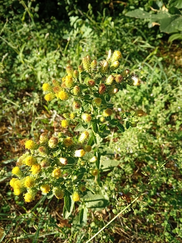
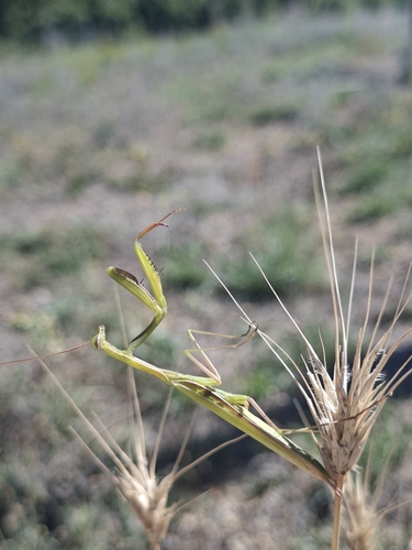
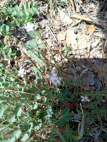
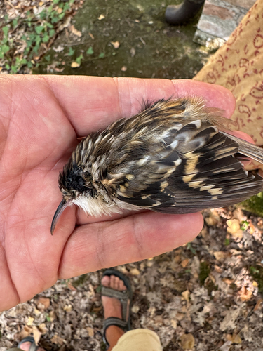
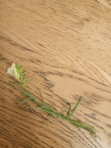
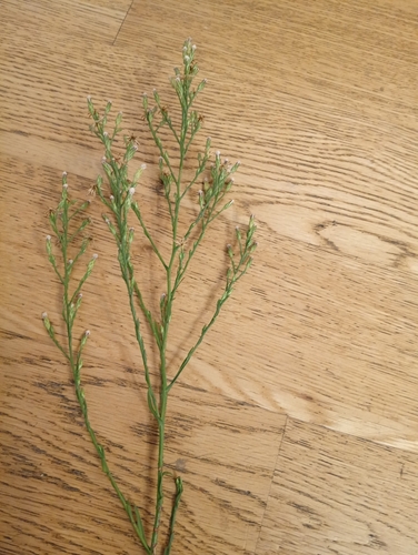
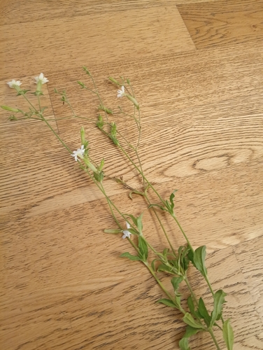
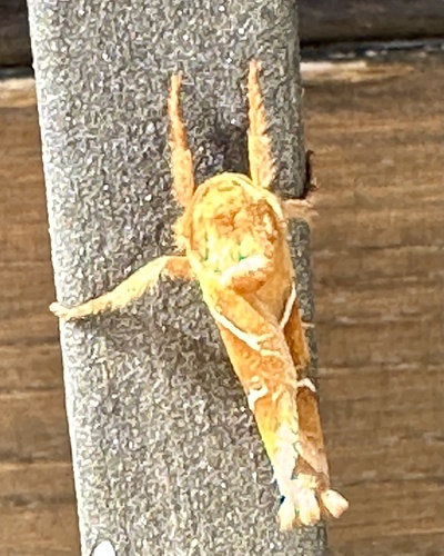
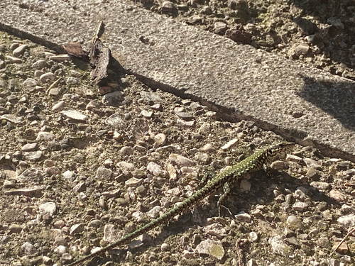
Research-grade observations from iNaturalist (within ~15 mi).
Events
Gallery
Official Identifiers
ISTAT — Italian National Institute of Statistics
- ISTAT code
- 054015
- Province
- Perugia (PG)
- Region
- Umbria
- NUTS3 (2024)
- ITI21
- Codice catastale
- C990
Elenco comuni italiani (CC BY 3.0 IT)
Sources
- • Wikipedia
- • Wikidata
- • iNaturalist
- • Open-Meteo / sunrise-sunset.org
- • Wikipedia Pageviews API
- • Open Library
- • ISTAT — Italian national statistics (Elenco comuni italiani), via istat.it (official ISTAT code, province, region, NUTS3, codice catastale)
- • ISTAT — Italian National Institute of Statistics — Elenco comuni italiani (CC BY 3.0 IT)