Browse / Italy / Emilia-Romagna / Ferrara
Ferrara
Emilia-Romagnacity

Ferrara
Total population
133,155
Demographic figures from ISTAT. Overview below cites Wikipedia and may reference a different year.
City facts
Sister cities
Facts from Wikidata (CC0).
Overview
Ferrara is a city and comune (municipality) in the region of Emilia-Romagna in northern Italy, capital of the province of Ferrara. As of 2026, with a population of 129,048, it is the 29th-largest city in Italy.
Read more on WikipediaHistory & geography
History
The first documented settlements in the area of the present-day Province of Ferrara date from the 6th century BC. The ruins of the Etruscan town of Spina, established along the lagoons at the ancient mouth of the Po river, were lost until modern times, when drainage schemes in the Valli di Comacchio marshes in 1922 first officially revealed a necropolis with over 4,000 tombs, evidence of a population centre that in Antiquity must have played a major role. There is uncertainty among scholars about the proposed Roman origin of the settlement in its current location (Tacitus and Boccaccio refer to a "Forum Alieni"), for little is known of this period, but some archeologic evidence points to the hypothesis that Ferrara could have been originated from two small Byzantine settlements: a cluster of facilities around the Cathedral of St. George, on the right bank of the main branch of the Po, which then ran much closer to the city than today, and a castrum, a fortified complex built on the left bank of the river to defend against the Lombards. Ferrara appears first in a document of the Lombard king Desiderius of 753 AD, when he captured the town from the Exarchate of Ravenna. Later the Franks, after routing the Lombards, presented Ferrara to the Papacy in 754 or 756. Lionello and, especially, Ercole I were among the most important patrons of the arts in late 15th- and early 16th-century Italy. During this time, Ferrara grew into an international cultural centre, renowned for its architecture, music, literature and visual arts. The architecture of Ferrara greatly benefited from the genius of Biagio Rossetti, who was requested in 1484 by Ercole I to draft a masterplan for the expansion of the town. The resulting "Erculean Addition" is considered one of the most important…
Geography
The town of Ferrara lies on the southern shores of the Po river, about north-east of the regional capital, Bologna, and south of Venice. The territory of the municipality, entirely part of the Padan plain, is overwhelmingly flat, situated on average just above sea-level. The proximity to the largest Italian river has been a constant concern in the history of Ferrara, that has been affected by recurrent, disastrous floods, the latest occurring as recently as 1951. The Idrovia Ferrarese links the river Po from Ferrara to the Adriatic at Porto Garibaldi. The climate of the Po valley is classified as humid subtropical (Cfa) under the Köppen climate classification, a type of climate commonly referred to as "warm temperate" that features mild winters and hot summers, heavy rains in spring and autumn but there is also a lot of rain even in the driest month of January for Ferrara.
Excerpted from the corresponding Wikipedia article (CC BY-SA).
Geography
Coordinates & boundaries from the US Census TIGER/Line shapefiles.
Climate
Air quality
Walkability
Amenities nearby
Wildlife & biodiversity
Earthquake history
Photos
Sights & places nearby
Notable people from here


People born within ~10 km, from Wikidata (CC0). Click any name for their Wikipedia article.
Nearby places in Emilia-Romagna
- San Nicolò10.1 mi away · pop. 646
- San Martino in Soverzano16.4 mi away
- Crocetta26.2 mi away · pop. 166
- San Pietro in Elda28.3 mi away
- Monticelli28.4 mi away · pop. 842
- Selva50.8 mi away
- Morano55.1 mi away
- San Polo92.4 mi away
- El Biodh987.8 mi away · pop. 12,074
- Makmen Ben Amer1010.6 mi away
- Horchaïa1017.6 mi away
- Assela1029.3 mi away
Geography & sun
Elevation, sunrise/sunset and daylight from Open-Meteo. Solar climatology from NASA POWER.
Nearby airports
Public attention
Pageview totals from the Wikimedia Pageviews API.
Books about Ferrara

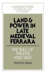
Search results from Open Library.
Recent natural events nearby
Ground air-quality sensors
Recently spotted species
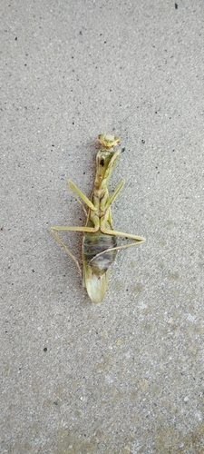
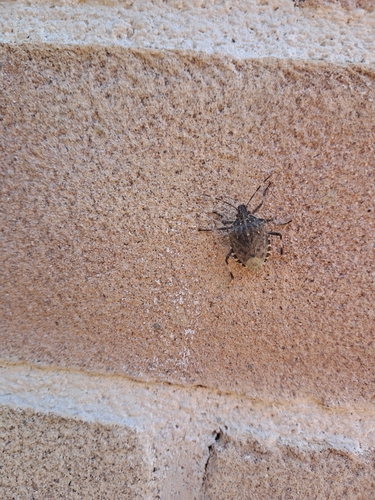
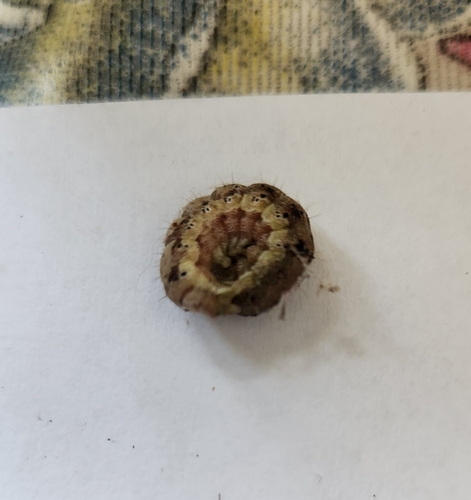
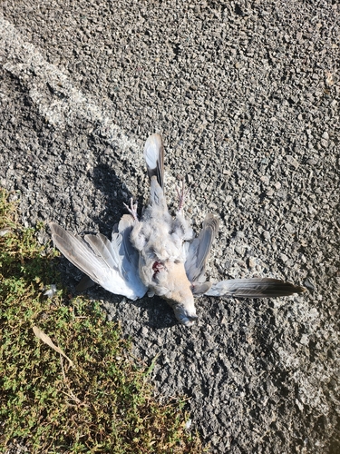
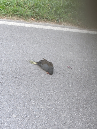
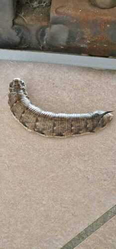
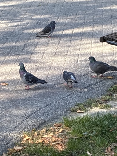
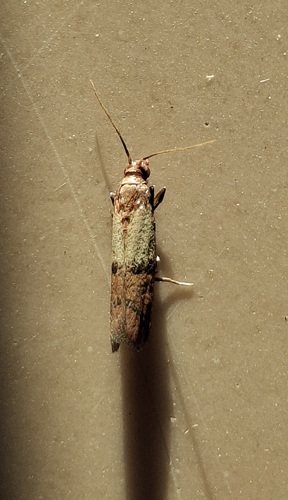
Research-grade observations from iNaturalist (within ~15 mi).
Events
Gallery
Official Identifiers
ISTAT — Italian National Institute of Statistics
- ISTAT code
- 038008
- Province
- Ferrara (FE)
- Region
- Emilia-Romagna
- NUTS3 (2024)
- ITH56
- Codice catastale
- D548
- Province capital
- Yes
Elenco comuni italiani (CC BY 3.0 IT)
Sources
- • Wikipedia
- • Wikidata
- • iNaturalist
- • Open-Meteo / sunrise-sunset.org
- • Wikipedia Pageviews API
- • Open Library
- • ISTAT — Italian national statistics (Elenco comuni italiani), via istat.it (official ISTAT code, province, region, NUTS3, codice catastale)
- • ISTAT — Italian National Institute of Statistics — Elenco comuni italiani (CC BY 3.0 IT)