Browse / Italy / Lazio / Gradoli
Gradoli
Laziovillage

Gradoli
Total population
1,496
Demographic figures from ISTAT. Overview below cites Wikipedia and may reference a different year.
City facts
Facts from Wikidata (CC0).
Overview
Gradoli is a comune (municipality) in the Province of Viterbo in the Italian region of Latium, located about 100 kilometres (62 mi) northwest of Rome and about 35 kilometres (22 mi) northwest of Viterbo.
Read more on WikipediaHistory & geography
History
Gradoli's origins date to the Middle Ages, when a castle was built here: this could be reached only through a series of steps (in Latin, gradus), whence its name. Matilde of Canossa donated the castle to the Papal States in the 11th century. In the following century the town became a free commune, but was soon conquered by Orvieto. Revolts followed, which were violently suppressed. In the 15th century Gradoli became a possession of the House of Farnese, who established here a summer residence under Pope Paul III. Gradoli, part of the Duchy of Castro, returned to the Papal States after the latter was crushed in the War of Castro (1649). It became part of the newly formed Kingdom of Italy in 1871. In 1978, during the kidnapping of Aldo Moro, Gradoli was mentioned (in an alleged séance participated by future prime minister Romano Prodi) as the possible location of the politician and therefore searched. It was later discovered that the Red Brigades, the terrorist group who had captured him, had in fact a base at Rome, in via Gradoli.
Excerpted from the corresponding Wikipedia article (CC BY-SA).
Geography
Coordinates & boundaries from the US Census TIGER/Line shapefiles.
Climate
Air quality
Walkability
Amenities nearby
Wildlife & biodiversity
Earthquake history
Photos
Sights & places nearby
Notable people from here


People born within ~10 km, from Wikidata (CC0). Click any name for their Wikipedia article.
Geography & sun
Elevation, sunrise/sunset and daylight from Open-Meteo. Solar climatology from NASA POWER.
Nearby airports
Public attention
Pageview totals from the Wikimedia Pageviews API.
Books about Gradoli
Search results from Open Library.
Recent natural events nearby
Ground air-quality sensors
Recently spotted species
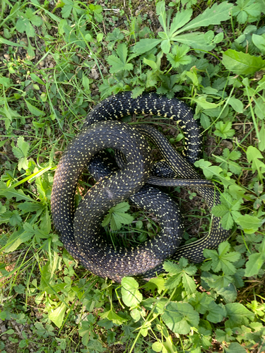
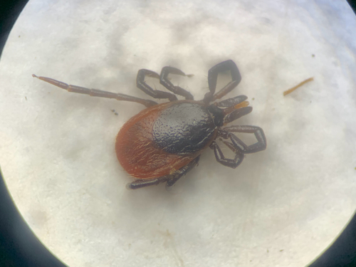
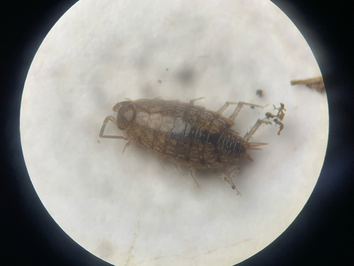
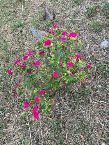
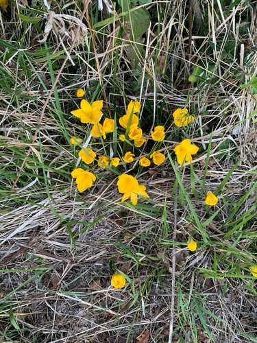
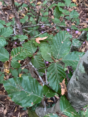
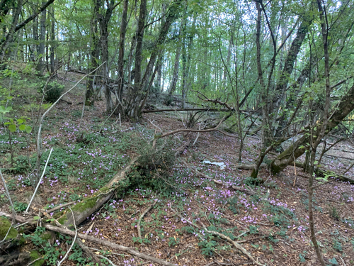
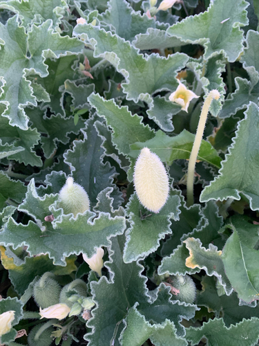
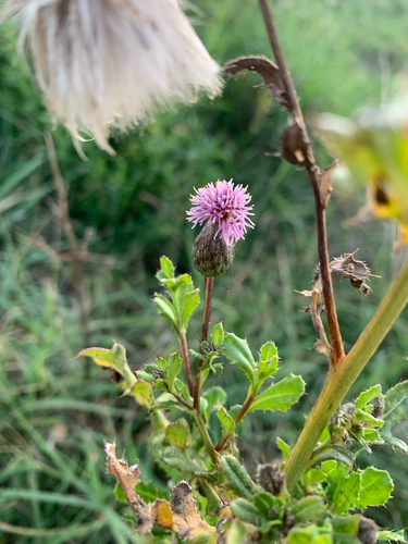
Research-grade observations from iNaturalist (within ~15 mi).
Events
Gallery
Official Identifiers
ISTAT — Italian National Institute of Statistics
- ISTAT code
- 056028
- Province
- Viterbo (VT)
- Region
- Lazio
- NUTS3 (2024)
- ITI41
- Codice catastale
- E126
Elenco comuni italiani (CC BY 3.0 IT)
Sources
- • Wikipedia
- • Wikidata
- • iNaturalist
- • Open-Meteo / sunrise-sunset.org
- • Wikipedia Pageviews API
- • Open Library
- • ISTAT — Italian national statistics (Elenco comuni italiani), via istat.it (official ISTAT code, province, region, NUTS3, codice catastale)
- • ISTAT — Italian National Institute of Statistics — Elenco comuni italiani (CC BY 3.0 IT)