Browse / Italy / Basilicata / Lama di Pepe
Lama di Pepe
Basilicatavillage
Demographic figures from ISTAT. Overview below cites Wikipedia and may reference a different year.
City facts
Overview
Within Basilicata, Italy, Lama di Pepe stands as a village. On the world map it falls within the Eastern Hemisphere, specifically at 40.677°, 16.484°. No reliable population estimate is published for this entry in the open data we rely on. The latitude suggests four distinct seasons with warm summers and cold winters. Solar-resource estimates put the area at about 1,590 kWh/m² of solar irradiance per year with sunshine for roughly 62% of daylight hours. Additional figures on demographics, climate, geography and points of interest appear in the sections that follow, all drawn from open public datasets.
Summary composed automatically from structured open data on this page. See our Terms for details.
History & geography
Geography
Coordinates & boundaries from the US Census TIGER/Line shapefiles.
Climate
Air quality
Walkability
Amenities nearby
Wildlife & biodiversity
Most-observed species
- Italian SparrowPasser italiae (Vieillot, 1817) · Aves286
- Lesser KestrelFalco naumanni J.G.Fleischer, 1818 · Aves238
- Eurasian MagpiePica pica (Linnaeus, 1758) · Aves229
- Western JackdawColoeus monedula (Linnaeus, 1758) · Aves228
- Common BuzzardButeo buteo (Linnaeus, 1758) · Aves221
- Red KiteMilvus milvus (Linnaeus, 1758) · Aves200
- European RobinErithacus rubecula (Linnaeus, 1758) · Aves196
- Rock PigeonColumba livia J.F.Gmelin, 1789 · Aves188
Citizen-science & research observations from the Global Biodiversity Information Facility (GBIF).
Earthquake history
Most recent
- M 4.2 — 2026-03-0626 km ESE of Marina, Italy
- M 4.3 — 2025-03-183 km NE of Potenza, Italy
- M 4.1 — 2024-02-101 km SSE of Bella, Italy
- M 4.1 — 2024-01-284 km NNE of San Gregorio Magno, Italy
- M 4 — 2023-07-262 km WNW of Calitri, Italy
- M 2.7 — 2020-01-081 km NW of Andria, Italy
Events from the USGS Earthquake Catalog (global) (FDSN Event Web Service).
Photos
Sights & places nearby
Notable people from here


People born within ~10 km, from Wikidata (CC0). Click any name for their Wikipedia article.
Nearby places in Basilicata
- Sant'Agostino0.5 mi away
- Piano di Chiattamura2.3 mi away
- Tempa Maledetta3.5 mi away
- la Macalla3.6 mi away
- Grotta Pignata4.6 mi away
- Trione della Chiesa6.4 mi away
- Matera6.5 mi away · pop. 59,607
- Pedale della Palomba7.1 mi away
- Fontana di Vite7.1 mi away
- Miglionico7.5 mi away · pop. 2,630
- Grottole7.5 mi away · pop. 2,607
- Trasano8.6 mi away
Geography & sun
Elevation, sunrise/sunset and daylight from Open-Meteo. Solar climatology from NASA POWER.
Nearby airports
Public attention
Books about this place
Recent natural events nearby
Ground air-quality sensors
Recently spotted species
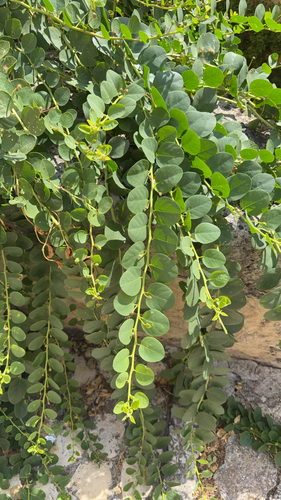
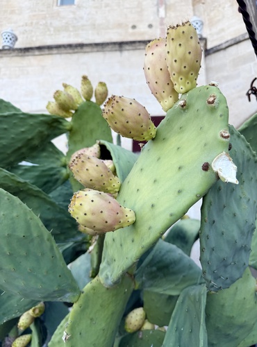
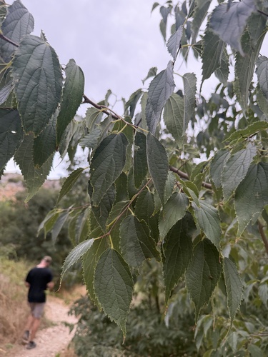
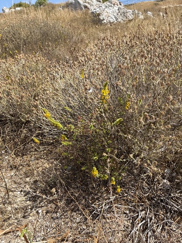
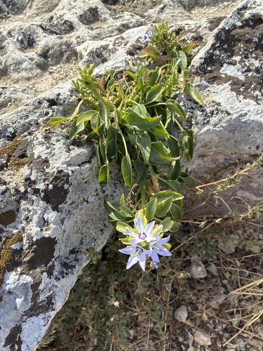
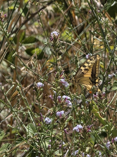
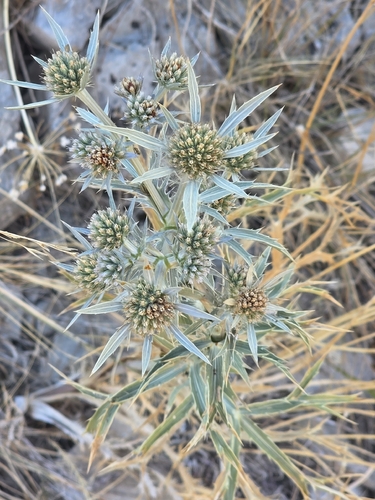
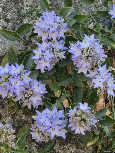
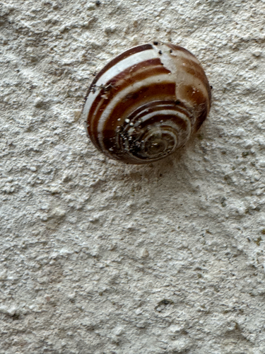
Research-grade observations from iNaturalist (within ~15 mi).
Events
Gallery
Sources
- • Wikidata
- • USGS Earthquake Catalog (global feed)
- • GBIF (Global Biodiversity Information Facility)
- • iNaturalist
- • Open-Meteo / sunrise-sunset.org