Browse / Italy / Campania / Lancusi
Lancusi
Campaniavillage

Lancusi
Demographic figures from ISTAT. Overview below cites Wikipedia and may reference a different year.
City facts
Facts from Wikidata (CC0).
Overview
Lancusi is a southern Italian village and hamlet (frazione) of Fisciano, a municipality in the province of Salerno, Campania. With a population of circa 4,000 (2011), it is the most populated settlement of its municipality, including the administrative town.
Read more on WikipediaHistory & geography
History
First mentioned in 1309 with the name of Lanciusi, the village was an independent barony of the Principality of Sanseverino.
Geography
Lancusi spans on a plain, named Irno Valley, west of the Picentini mountain range, near the springs of Irno river. The village is urbanistically contiguous, almost fused, with the village of Bolano. Other nearby settlements are Baronissi, Penta, Sava and Orignano. It spans on two parallel main roads: Via Tenente Nastri, representing the old town center, and Via del Centenario, the northern urban expansion. North of it is the locality of Macchione. Part of the urban area of Salerno (11 km far), it is 2 km from Corticelle, 4 from Fisciano and the University of Salerno, 4.5 from Mercato San Severino and Gaiano, 6 from Calvanico and 30 from Avellino. The faculty of medicine of the university, located in the suburbs of Sava, lies just outside Bolano.
Excerpted from the corresponding Wikipedia article (CC BY-SA).
Geography
Coordinates & boundaries from the US Census TIGER/Line shapefiles.
Climate
Air quality
Walkability
Amenities nearby
Wildlife & biodiversity
Earthquake history
Photos
Sights & places nearby
Notable people from here
Geography & sun
Elevation, sunrise/sunset and daylight from Open-Meteo. Solar climatology from NASA POWER.
Nearby airports
Public attention
Pageview totals from the Wikimedia Pageviews API.
Books about this place
Recent natural events nearby
Ground air-quality sensors
Recently spotted species
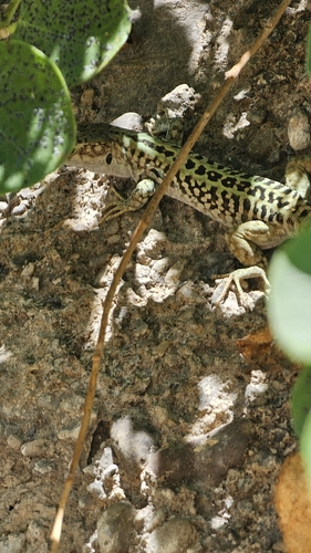
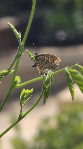
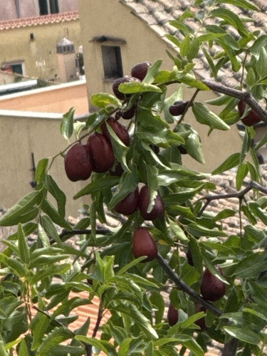
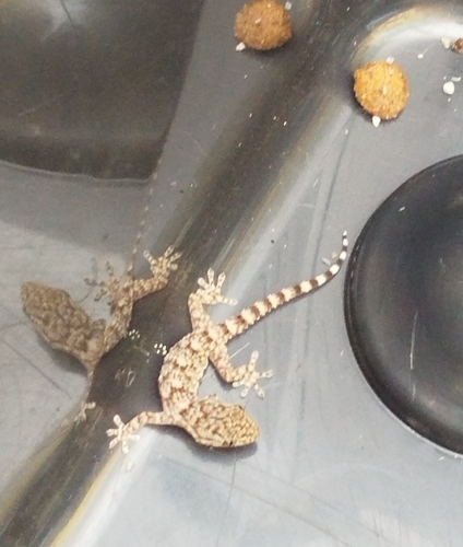
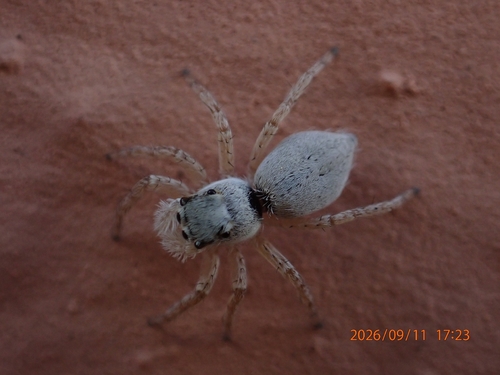
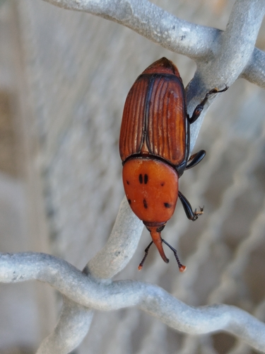
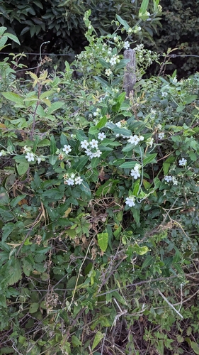
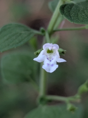
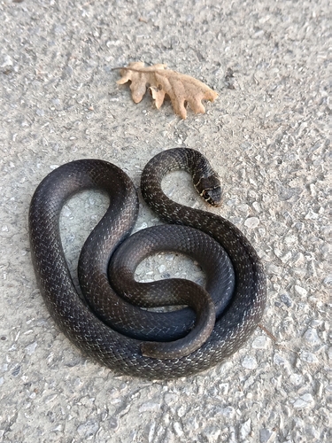
Research-grade observations from iNaturalist (within ~15 mi).
Events
Gallery
Sources
- • Wikipedia
- • Wikidata
- • iNaturalist
- • Open-Meteo / sunrise-sunset.org
- • Wikipedia Pageviews API