Browse / Italy / Trentino-Alto Adige / Mals - Malles Venosta
Mals - Malles Venosta
Trentino-Alto Adigevillage

Mals - Malles Venosta
Total population
4,835
Demographic figures from ISTAT. Overview below cites Wikipedia and may reference a different year.
City facts
Facts from Wikidata (CC0).
Overview
Mals is a comune (municipality) and a village in South Tyrol in northern Italy, located about 70 kilometres (43 mi) northwest of Bolzano, on the border with Switzerland and Austria.
Read more on WikipediaHistory & geography
History
The emblem is party per fess: the upper of gules a fess argent, at the bottom or three gules circles arranged in a triangle upside-down. It is the combination of coats of arms of the House of Austria and Medici. The emblem was adopted in 1928.
Geography
As of 30 November 2010, it had a population of 5,092 and an area of . The Zerzer Tal, a side valley of the Vinschgau, is in Mals. Mals borders the following municipalities: Graun im Vinschgau, Glurns, Laas, Scuol (Switzerland), Schnals, Sent (Switzerland), Schlanders, Schluderns, Sölden (Austria), and Taufers im Münstertal. The municipality of Mals contains the frazioni (subdivisions, mainly villages and hamlets): Burgeis (Burgusio), Laatsch (Laudes), Matsch (Mazia), Planeil (Planol), Plawenn (Piavenna), Schleis (Clusio), (Slingia), Tartsch (Tarces), and Ulten-Alsack (Alsago-Ultimo). Mals has a cool, wet climate. Frost is common from October to May and is even recorded in the summer, although temperatures below −1C are rare from June to September. Most winter days fail to rise above freezing. Summer is generally mild, but most summers see temperatures rise above 20C on several days.
Excerpted from the corresponding Wikipedia article (CC BY-SA).
Geography
Coordinates & boundaries from the US Census TIGER/Line shapefiles.
Climate
Air quality
Walkability
Amenities nearby
Wildlife & biodiversity
Earthquake history
Photos
Sights & places nearby
Notable people from here


People born within ~10 km, from Wikidata (CC0). Click any name for their Wikipedia article.
Nearby places in Trentino-Alto Adige
- Laatsch - Laudes0.8 mi away
- Tartsch - Tarces0.8 mi away
- Glurns - Glorenza1.2 mi away · pop. 896
- Schleis - Clusio1.2 mi away
- Burgeis - Burgusio1.8 mi away
- Planeil - Planol2.8 mi away
- Matsch - Mazia3.4 mi away
- Dörfl - Monteplair4.8 mi away
- Prad am Stilfser Joch - Prato allo Stelvio5.3 mi away · pop. 3,140
- St. Valentin auf der Haide - San Valentino alla Muta5.4 mi away
- Eyrs - Oris6.2 mi away
- Stilfs Dorf - Stelvio Paese6.2 mi away
Geography & sun
Elevation, sunrise/sunset and daylight from Open-Meteo. Solar climatology from NASA POWER.
Nearby airports
Public attention
Pageview totals from the Wikimedia Pageviews API.
Books about this place
Recent natural events nearby
Ground air-quality sensors
Recently spotted species
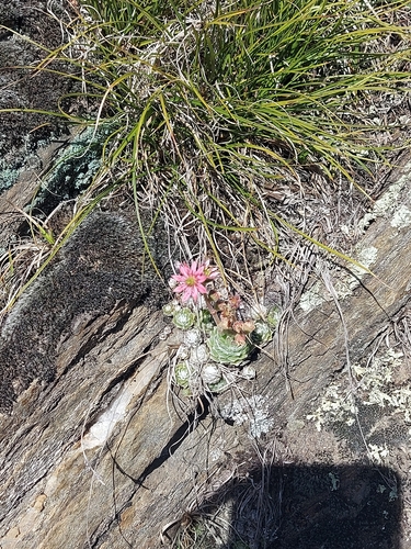
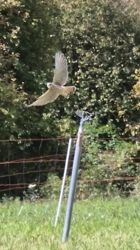
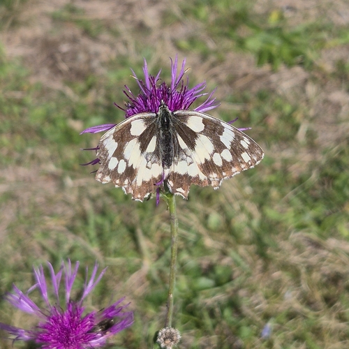
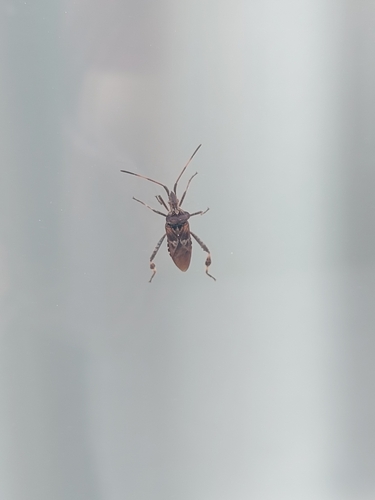
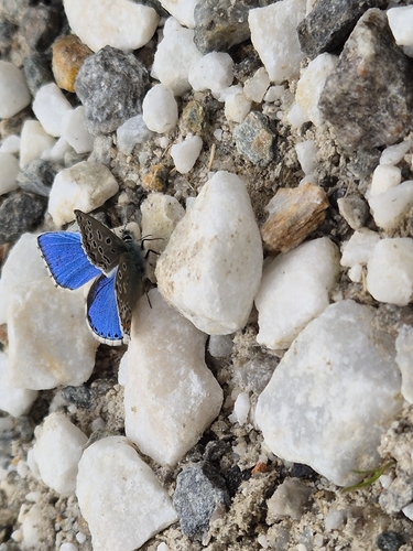
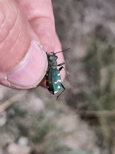
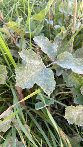
Research-grade observations from iNaturalist (within ~15 mi).
Events
Gallery
Sources
- • Wikipedia
- • Wikidata
- • iNaturalist
- • Open-Meteo / sunrise-sunset.org
- • Wikipedia Pageviews API