Browse / Italy / Tuscany / Massa
Massa
Tuscanycity

Massa
Total population
65,801
Air quality index
Demographic figures from ISTAT. Overview below cites Wikipedia and may reference a different year.
City facts
Sister cities
Facts from Wikidata (CC0).
Overview
Massa is a town and comune in Tuscany, central Italy, the administrative centre of the province of Massa and Carrara. It is located in the Frigido River Valley, near the Alpi Apuane, 5 km (3 mi) from the Tyrrhenian Sea.
Read more on WikipediaHistory & geography
History
Massa is mentioned for the first time in the Tabula Peutingeriana, a 2nd-4th century AD itinerary, with the name ad Tabernas frigidas, referring perhaps to a stage on the Via Aemilia Scauri consular road from Pisa to Luni. From the 15th to the 19th century, Massa was the capital of the independent Principate (later Duchy) of Massa and Carrara, ruled by the Malaspina and Cybo-Malaspina families. Massa is the first recorded town in Europe in which the magnetic needle compass was used in mines to map them and determine the extent of various mine owners' properties. In 1829 the states were inherited by Francis IV, Duke of Modena. In 1859, during the unification of Italy process, it joined the Kingdom of Sardinia.
Geography
Located in south of the province, near the borders with the Province of Lucca, Massa is a coastal town by the Tyrrhenian Sea. The municipality borders with Carrara, Fivizzano, Minucciano (LU), Montignoso, Seravezza (LU), Stazzema (LU) and Vagli Sotto (LU). Massa counts several hamlets (frazioni): Altagnana, Alteta, Antona, Baita, Bargana, Bergiola, Bondano, Borgo del Ponte, Bozzone, Ca' di Cecco, Caglieglia, Campareccia, Canevara, Capaccola, Casania, , Casone, Castagnara, Castagnetola, Castagnola, Cervara, Cinque Vie, Ciremea, Codupino, Cupido, Forno, La Gioconda, Gotara, Gronda, Grondini, Guadine, Le Iare, Lavacchio, Marina di Massa, Mirteto, Monte Pepe, Ortola, Pariana, Partaccia, Pian della Fioba, Poggi, Poggiolo, Poggioletto, il Ponte, Poveromo, Poveromo Macchie, Pratta, Puliche, Quercioli, Redicesi, Remola, Resceto, Ricortola, Rinchiostra, Rocca, Romagnano, Ronchi, San Carlo Terme, San Cristoforo, San Leonardo, San Lorenzo, Santa Lucia, Il Santo, Sei ponti, Turano, Vergheto, Le Villette, Volpigliano, Zecca.
Excerpted from the corresponding Wikipedia article (CC BY-SA).
Geography
Coordinates & boundaries from the US Census TIGER/Line shapefiles.
Climate
Air quality
Current readings from Open-Meteo Air Quality API (Copernicus CAMS European reanalysis).
Walkability
Amenities nearby
Wildlife & biodiversity
Most-observed species
- Yellow-legged GullLarus michahellis J.F.Naumann, 1840 · Aves298
- Hooded CrowCorvus cornix Linnaeus, 1758 · Aves296
- Japanese CheesewoodPittosporum tobira (Murray) Aiton fil. · Magnoliopsida265
- European RobinErithacus rubecula (Linnaeus, 1758) · Aves223
- Great Cormorant/European ShagPhalacrocorax carbo (Linnaeus, 1758) · Aves220
- Eurasian BlackbirdTurdus merula Linnaeus, 1758 · Aves213
- Italian SparrowPasser italiae (Vieillot, 1817) · Aves184
- Common ChaffinchFringilla coelebs Linnaeus, 1758 · Aves177
Citizen-science & research observations from the Global Biodiversity Information Facility (GBIF).
Earthquake history
Most recent
- M 4.2 — 2026-03-266 km NNW of Montale, Italy
- M 4.1 — 2026-03-251 km S of Santo Stefano di Magra, Italy
- M 2.5 — 2025-03-042 km NNW of Carrara, Italy
- M 3 — 2024-05-221 km N of Collecchio, Italy
- M 4.1 — 2024-02-173 km SE of Basilicanova, Italy
- M 4.2 — 2024-02-091 km ENE of Pilastro, Italy
Events from the USGS Earthquake Catalog (global) (FDSN Event Web Service).
Photos
Sights & places nearby
Notable people from here


People born within ~10 km, from Wikidata (CC0). Click any name for their Wikipedia article.
Nearby places in Tuscany
Geography & sun
Elevation, sunrise/sunset and daylight from Open-Meteo. Solar climatology from NASA POWER.
Nearby airports
Public attention
Pageview totals from the Wikimedia Pageviews API.
Books about Massa
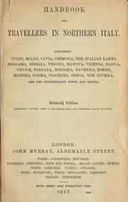


Search results from Open Library.
Recent natural events nearby
Ground air-quality sensors
Recently spotted species
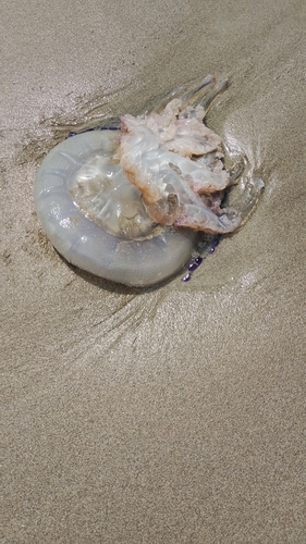
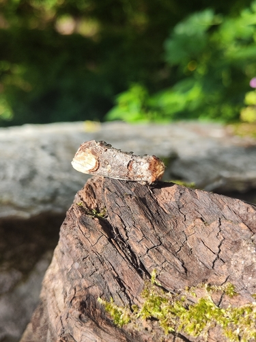
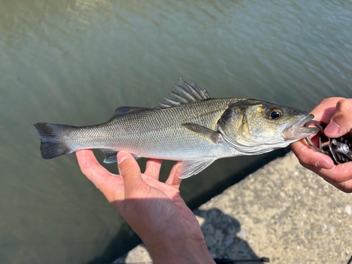
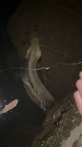
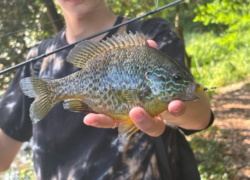
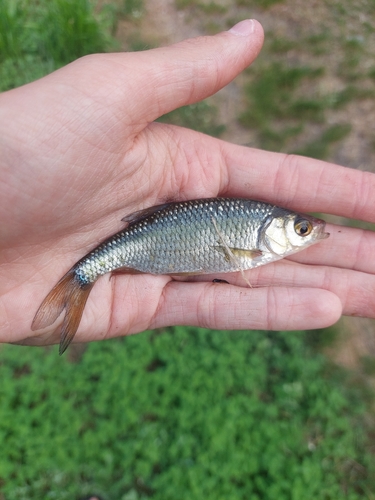
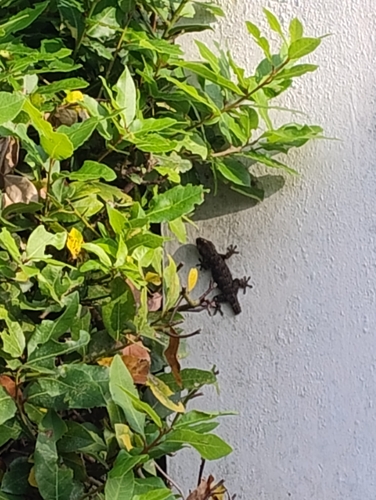
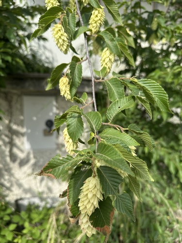
Research-grade observations from iNaturalist (within ~15 mi).
Events
Gallery
Geotagged photos within ~6 miles of Massa, from Wikimedia Commons contributors.


Photos via Wikimedia Commons — see each image page for license & attribution.
Official Identifiers
ISTAT — Italian National Institute of Statistics
- ISTAT code
- 045010
- Province
- Massa-Carrara (MS)
- Region
- Toscana
- NUTS3 (2024)
- ITI11
- Codice catastale
- F023
- Province capital
- Yes
Elenco comuni italiani (CC BY 3.0 IT)
Sources
- • Wikipedia
- • Wikimedia Commons
- • Wikidata
- • Open-Meteo Air Quality (CAMS)
- • USGS Earthquake Catalog (global feed)
- • GBIF (Global Biodiversity Information Facility)
- • iNaturalist
- • Open-Meteo / sunrise-sunset.org
- • Wikipedia Pageviews API
- • Open Library
- • ISTAT — Italian national statistics (Elenco comuni italiani), via istat.it (official ISTAT code, province, region, NUTS3, codice catastale)
- • ISTAT — Italian National Institute of Statistics — Elenco comuni italiani (CC BY 3.0 IT)