Browse / Italy / Tuscany / Massa Marittima
Massa Marittima
Tuscanytown

Massa Marittima
Total population
8,818
Demographic figures from ISTAT. Overview below cites Wikipedia and may reference a different year.
City facts
Sister cities
Facts from Wikidata (CC0).
Overview
Massa Marittima is a town and comune of the province of Grosseto, southern Tuscany, Italy, 49 km NNW of Grosseto.
Read more on WikipediaHistory & geography
History
The territory around Massa Marittima was inhabited since prehistoric and proto-historical times, as evidenced by numerous finds dating from the Paleolithic to the Bronze Age. Etruscan settlements have been found in the area of Lake of Accesa and others dating from the 9th to the 5th century BC. Further proof of the existence of a settlement in the place where Massa Marittima is now comes from the Res Gestae by Ammianus Marcellinus, where a Massa Veternensis is cited as the birthplace of Constantius Gallus, nephew of Constantine; this town can be identified with the village of Massa Vecchia. The name Massa appears for the first time in a document of the 10th century AD on a list of castles and courts sold to the cleric Ropprando by Lambert, Margrave of Tuscany, on April 18, 973 and subsequently repaired by Ermengarda, widow of Lambert, on February 15, 986. In the 11th century began the gradual transfer to Massa Marittima of the episcopal seat of Populonia, which had been looted by pirates and destroyed by the fleet of Nicetas, Prefect of Constantinople: a letter from Pope Alexander II to Bishop Tegrin of 1062 testifies the transfer of the bishopric to Massa. The city reached the peak of its splendor in the years when it became free commune (1255-1337), with a great urban expansion including buildings still visible today. From May 1, 1317, for a period of at least a year, the city also had its own currency. Massa fought alongside Siena in the battle of Montaperti (1260), and in three leagues (1276, 1307, 1319), subsequently being subjugated by it in 1335. The Sienese exploited the economic potential of the city, weakening it substantially. Plagues (the most severe in 1348 and 1400) and demographic downturn brought the city into a steep decline, as Siena did not perform…
Excerpted from the corresponding Wikipedia article (CC BY-SA).
Geography
Coordinates & boundaries from the US Census TIGER/Line shapefiles.
Climate
Air quality
Walkability
Amenities nearby
Wildlife & biodiversity
Earthquake history
Photos
Sights & places nearby
Notable people from here


People born within ~10 km, from Wikidata (CC0). Click any name for their Wikipedia article.
Nearby places in Tuscany
- Boccheggiano7.9 mi away · pop. 339
- Gerfalco8 mi away · pop. 78
- Roccatederighi9.9 mi away · pop. 846
- Castelnuovo di Val di Cecina11 mi away · pop. 2,467
- Sassofortino11.4 mi away · pop. 815
- Monteverdi Marittimo12.4 mi away · pop. 701
- Montalcinello14.1 mi away · pop. 180
- Montepescali15.3 mi away
- Braccagni15.4 mi away
- Radicondoli16.5 mi away · pop. 978
- Colmata18.1 mi away · pop. 133
- Donoratico18.2 mi away
Geography & sun
Elevation, sunrise/sunset and daylight from Open-Meteo. Solar climatology from NASA POWER.
Nearby airports
Public attention
Pageview totals from the Wikimedia Pageviews API.
Books about Massa Marittima
Search results from Open Library.
Recent natural events nearby
Ground air-quality sensors
Recently spotted species
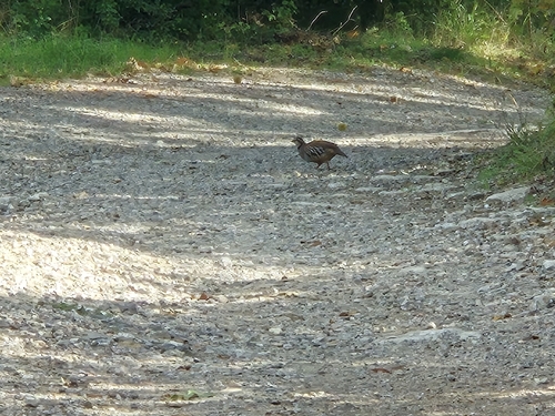
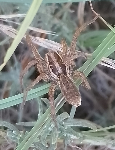
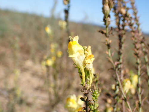
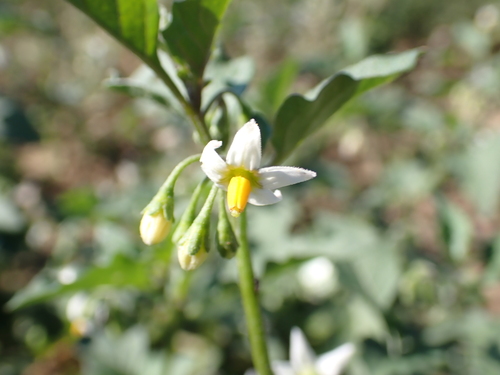
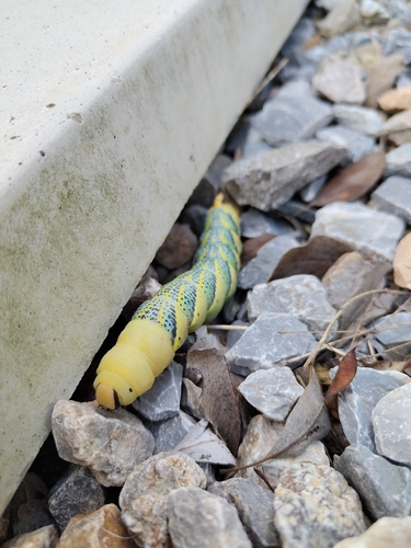
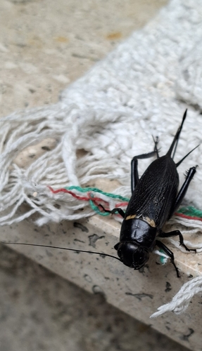
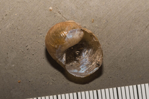
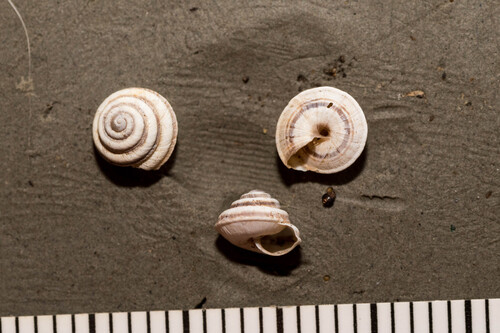
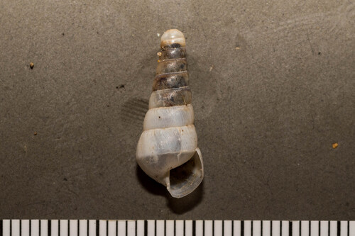
Research-grade observations from iNaturalist (within ~15 mi).
Events
Gallery
Official Identifiers
ISTAT — Italian National Institute of Statistics
- ISTAT code
- 053015
- Province
- Grosseto (GR)
- Region
- Toscana
- NUTS3 (2024)
- ITI1A
- Codice catastale
- F032
Elenco comuni italiani (CC BY 3.0 IT)
Sources
- • Wikipedia
- • Wikidata
- • iNaturalist
- • Open-Meteo / sunrise-sunset.org
- • Wikipedia Pageviews API
- • Open Library
- • ISTAT — Italian national statistics (Elenco comuni italiani), via istat.it (official ISTAT code, province, region, NUTS3, codice catastale)
- • ISTAT — Italian National Institute of Statistics — Elenco comuni italiani (CC BY 3.0 IT)