Browse / Italy / Campania / Massicelle
Massicelle
Campaniavillage

Massicelle
Demographic figures from ISTAT. Overview below cites Wikipedia and may reference a different year.
City facts
Facts from Wikidata (CC0).
Overview
Massicelle is a southern Italian village and hamlet (frazione) of Montano Antilia, a municipality in the province of Salerno, Campania. in 2011 it had a population of 529.
Read more on WikipediaHistory & geography
History
The village, whose name derives from the Middle French words mans en celle, was founded between the 9th and the 10th century by the local people who escaped from the Arab invasions of southern Italy. Part of the State of Cuccaro Vetere, in the Barony of Novi Velia, during the Middle Ages; Massicelle constituted a municipality in 1811, along with Abatemarco and Montano Antilia.
Geography
Located in southern Cilento and transcluded into its national park, Massicelle is a hill village that spans on the national road SR447/A, 4 km south of Futani and 4 km west of Abatemarco. It is 6 km from Montano Antilia, 7 from Cuccaro Vetere, 16 from Vallo della Lucania, and 17 from Palinuro and the Cilentan Coast. Massicelle is divided into 8 quarters (casali): Carputi, Carosiello, Caprarizzi, Centopelli, Ciardella, Limonti, Massicella and Montemauro. The main settlement is situated to the north and consists of 7 of the 8 quarters, located all around the central one of Massicella, which gives the name to the village. It includes, to the northeast, tie little localities of Scirocco (nearby Limonti and the cemetery), Serre and Pantana Zica (both close to a valley of olive trees). To the south, detached from the rest of the village by a ravine, lies the quarter of Centopelli, that includes the little locality of Ciaoli.
Excerpted from the corresponding Wikipedia article (CC BY-SA).
Geography
Coordinates & boundaries from the US Census TIGER/Line shapefiles.
Climate
Air quality
Walkability
Amenities nearby
Wildlife & biodiversity
Earthquake history
Photos
Sights & places nearby
Notable people from here


People born within ~10 km, from Wikidata (CC0). Click any name for their Wikipedia article.
Nearby places in Campania
Geography & sun
Elevation, sunrise/sunset and daylight from Open-Meteo. Solar climatology from NASA POWER.
Nearby airports
Public attention
Pageview totals from the Wikimedia Pageviews API.
Books about this place
Recent natural events nearby
Ground air-quality sensors
Recently spotted species
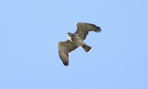
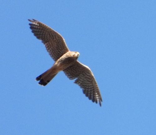
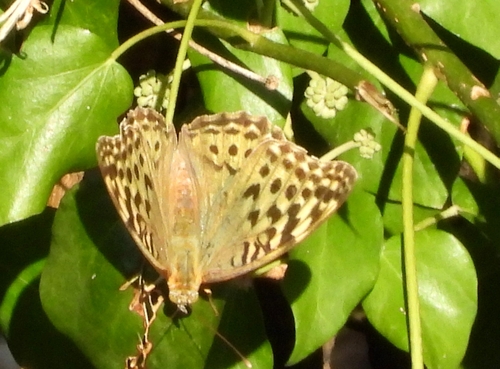
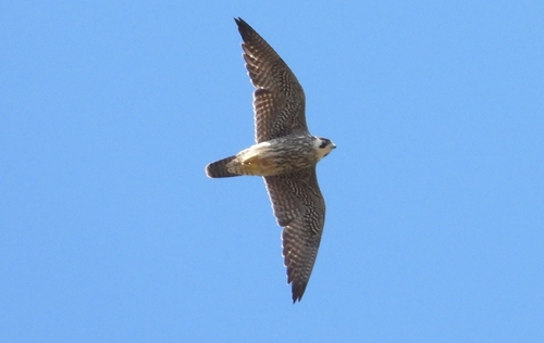
Research-grade observations from iNaturalist (within ~15 mi).
Events
Gallery
Sources
- • Wikipedia
- • Wikidata
- • iNaturalist
- • Open-Meteo / sunrise-sunset.org
- • Wikipedia Pageviews API