Browse / Italy / Lazio / Montefiascone
Montefiascone
Laziotown

Montefiascone
Total population
13,432
Demographic figures from ISTAT. Overview below cites Wikipedia and may reference a different year.
City facts
Facts from Wikidata (CC0).
Overview
Montefiascone is a town and comune of the province of Viterbo, in Lazio, central Italy. It stands on a hill on the southeast side of Lake Bolsena, about 100 km (60 mi) north of Rome.
Read more on WikipediaHistory & geography
History
The name of the city derives from that of the Falisci (Mons Faliscorum, "Mountain of the Falisci"). Later, it was controlled by the Etruscans. It was suggested that Montefiascone occupies the site of the Etruscan Temple called Fanum Voltumnae, at which the representatives of the twelve chief cities of Etruria met in the days of their independence. Under the Empire, the festival was held near Volsinii. The first documents mentioning Montefiascone are from 853 CE, when it belonged to the bishop of Tuscania. In 1058 and 1074 the Popes Stephen IX and Gregory VII, respectively, stopped here. In 1093 the fortress was besieged by Emperor Henry IV. The importance of the fortress was confirmed by Emperor Frederick Barbarossa's visit in 1185. In the following two centuries, as a Papal possession, Montefiascone lived its period of highest splendour. The Castle was often residence of Popes, and was consequently enlarged and embellished. During Avignon Papacy, it was the main residence of the Papal legate Cardinal Albornoz. In 1463, however, it was already decaying, as in the words of by Pope Pius II. The decline increased after the plague of 1657 and the earthquake of 1697. It became part of the new Kingdom of Italy in 1870. It was damaged by two Allied bombings in May 1944.
Excerpted from the corresponding Wikipedia article (CC BY-SA).
Geography
Coordinates & boundaries from the US Census TIGER/Line shapefiles.
Climate
Air quality
Walkability
Amenities nearby
Wildlife & biodiversity
Earthquake history
Photos
Sights & places nearby
Notable people from here


People born within ~10 km, from Wikidata (CC0). Click any name for their Wikipedia article.
Nearby places in Lazio
- Zepponami1.5 mi away · pop. 1,660
- Celleno5.1 mi away · pop. 1,339
- Capodimonte6.5 mi away · pop. 1,686
- Grotte Santo Stefano7.3 mi away
- Civita di Bagnoregio7.5 mi away · pop. 11
- Vitorchiano8.8 mi away · pop. 3,214
- La Quercia8.9 mi away
- Graffignano9.2 mi away · pop. 2,288
- Viterbo9.2 mi away · pop. 67,173
- Piansano10.4 mi away · pop. 2,220
- Valentano11 mi away · pop. 2,935
- Castiglione in Teverina11.5 mi away · pop. 2,413
Geography & sun
Elevation, sunrise/sunset and daylight from Open-Meteo. Solar climatology from NASA POWER.
Nearby airports
Public attention
Pageview totals from the Wikimedia Pageviews API.
Books about this place
Recent natural events nearby
Ground air-quality sensors
Recently spotted species
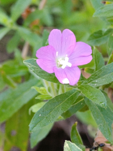
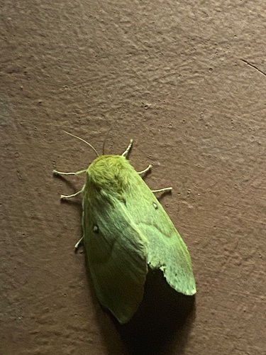
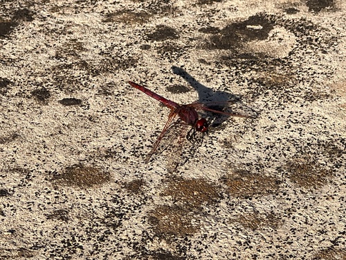
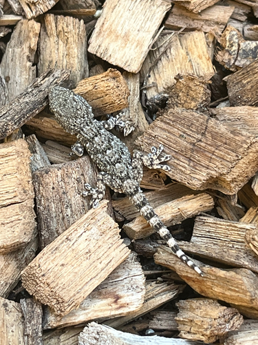
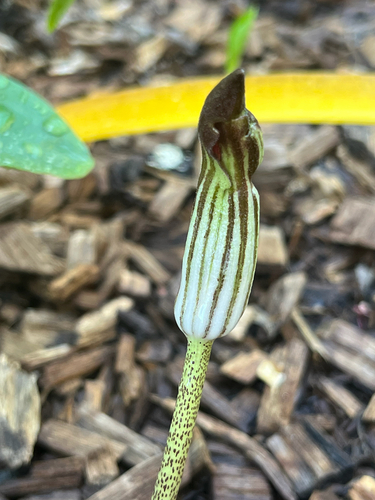
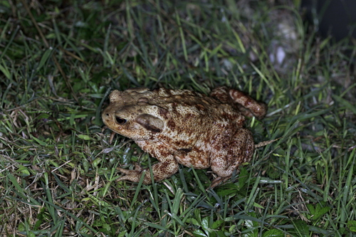
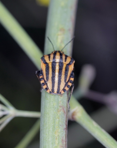
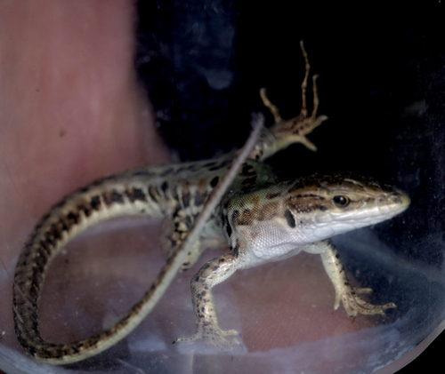
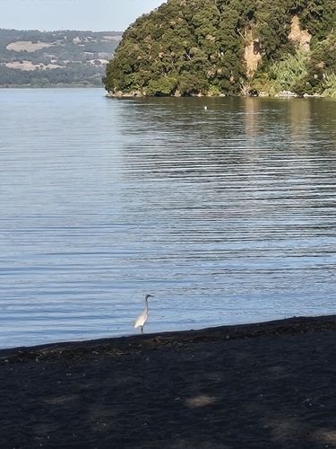
Research-grade observations from iNaturalist (within ~15 mi).
Events
Gallery
Official Identifiers
ISTAT — Italian National Institute of Statistics
- ISTAT code
- 056036
- Province
- Viterbo (VT)
- Region
- Lazio
- NUTS3 (2024)
- ITI41
- Codice catastale
- F499
Elenco comuni italiani (CC BY 3.0 IT)
Sources
- • Wikipedia
- • Wikidata
- • iNaturalist
- • Open-Elevation
- • Open-Meteo / sunrise-sunset.org
- • Wikipedia Pageviews API
- • ISTAT — Italian national statistics (Elenco comuni italiani), via istat.it (official ISTAT code, province, region, NUTS3, codice catastale)
- • ISTAT — Italian National Institute of Statistics — Elenco comuni italiani (CC BY 3.0 IT)