Browse / Italy / Lazio / Mugnano in Teverina
Mugnano in Teverina
Laziovillage

Mugnano in Teverina
Total population
118
Air quality index
Demographic figures from ISTAT. Overview below cites Wikipedia and may reference a different year.
City facts
Overview
Mugnano in Teverina, a former Duchy of the Pontifical States, has been a hamlet in the Italian municipality of Bomarzo, in the province of Viterbo, since the 1890s.
Read more on WikipediaHistory & geography
History
An Etruscan necropolis used until the late Etrustcan period, Mugnano preserves at least ten Etruscan tombs. It later became inhabited as a Roman castrum (fort) along the Via Cassia that linked Rome to Florence. There is still a fragment of this road inside the ducal palace. Mugnano is located on the border between Lazio and Umbria, i.e. on the borders of the Heritage of Saint Peter, which forms the original nucleus of the Pontifical States. Mugnano may have been attached in 741, at the same time as Polymartium (Bomarzo). The first precise information about the village dates back to the Middle Ages. The first known lords of the castrum were the Mugnani, an important Guelph family from Orvieto 3, but around the middle of the 13th century the castle passed into the hands of the Orsini family of condottiere (mercenaries). The cylindrical tower of Gothic architecture probably dates from this period. In 1417, after Pope Martin V Colonna's election to the papal throne, the duchy (which may refer to a very small regionin Italy, since they indicate a noble rank and, in principle, maximum autonomy from the Prince) became the property first of Antonio Colonna, then of the Farnese family. At this time that the walls surrounding the castle were completely demolished during a short siege as part of the Pope's campaign to impose themselves against the Orsini, rivals of their family. In 1432, the Orsini family took possession of the city, later redeveloping the existing palace under the leadership of Charles Orsini 1. In 1587, the Apostolic Chamber, taking advantage of the extinction of the direct branch of the Orsini, seized the fiefdom, which did not return to the family's hands until 1707 4. Since the plebiscite of 2 October 1870, it has been part of the Kingdom (later the…
Excerpted from the corresponding Wikipedia article (CC BY-SA).
Geography
Coordinates & boundaries from the US Census TIGER/Line shapefiles.
Climate
Air quality
Current readings from Open-Meteo Air Quality API (Copernicus CAMS European reanalysis).
Walkability
Amenities nearby
Wildlife & biodiversity
Most-observed species
- Hooded CrowCorvus cornix Linnaeus, 1758 · Aves249
- Eurasian Collared-DoveStreptopelia decaocto (Frivaldszky, 1838) · Aves186
- Eurasian MagpiePica pica (Linnaeus, 1758) · Aves183
- Western JackdawColoeus monedula (Linnaeus, 1758) · Aves160
- Eurasian Blue TitCyanistes caeruleus (Linnaeus, 1758) · Aves157
- European RobinErithacus rubecula (Linnaeus, 1758) · Aves152
- Rock PigeonColumba livia J.F.Gmelin, 1789 · Aves152
- Eurasian BlackbirdTurdus merula Linnaeus, 1758 · Aves148
Citizen-science & research observations from the Global Biodiversity Information Facility (GBIF).
Earthquake history
Most recent
- M 4.2 — 2026-05-234 km WSW of Bolognola, Italy
- M 4.2 — 2025-09-204 km SSE of San Terenziano, Italy
- M 2.7 — 2025-05-081 km NNE of Montecompatri, Italy
- M 3.2 — 2025-03-043 km S of Bevagna, Italy
- M 4.2 — 2023-03-094 km S of Umbertide, Italy
- M 4.5 — 2023-03-092 km S of Umbertide, Italy
Events from the USGS Earthquake Catalog (global) (FDSN Event Web Service).
Photos
Sights & places nearby
Notable people from here


People born within ~10 km, from Wikidata (CC0). Click any name for their Wikipedia article.
Nearby places in Lazio
- Chia1.8 mi away · pop. 400
- Bomarzo1.9 mi away · pop. 1,615
- Bassano in Teverina2.8 mi away · pop. 1,134
- Grotte Santo Stefano5.7 mi away
- Soriano nel Cimino5.9 mi away · pop. 8,403
- Vitorchiano5.9 mi away · pop. 3,214
- Orte6 mi away · pop. 7,781
- Graffignano6.6 mi away · pop. 2,288
- Vasanello6.7 mi away · pop. 3,890
- Vallerano7.9 mi away · pop. 2,505
- Vignanello7.9 mi away · pop. 4,705
- Celleno8.9 mi away · pop. 1,339
Geography & sun
Elevation, sunrise/sunset and daylight from Open-Meteo. Solar climatology from NASA POWER.
Nearby airports
Public attention
Pageview totals from the Wikimedia Pageviews API.
Books about this place
Recent natural events nearby
Ground air-quality sensors
Recently spotted species
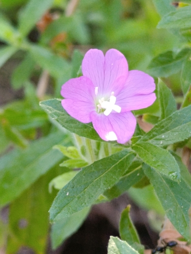
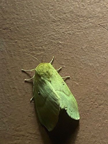
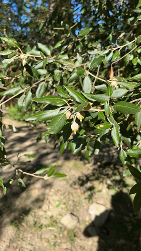
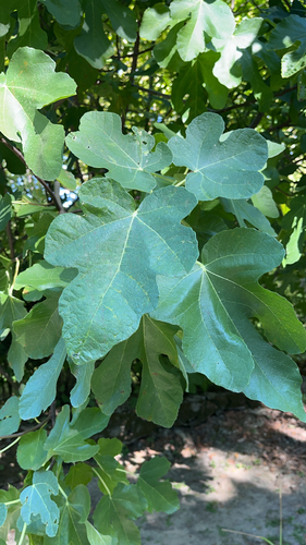
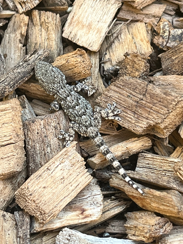
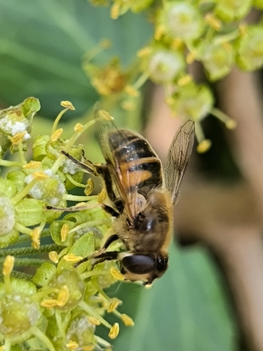
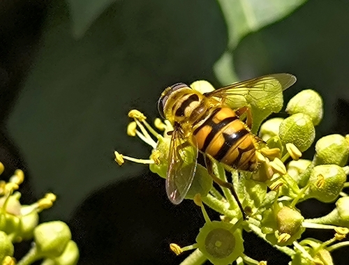
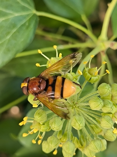
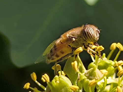
Research-grade observations from iNaturalist (within ~15 mi).
Events
Gallery
Official Identifiers
ISTAT — Italian National Institute of Statistics
- ISTAT code
- 064065
- Province
- Avellino (AV)
- Region
- Campania
- NUTS3 (2024)
- ITF34
- Codice catastale
- F798
Elenco comuni italiani (CC BY 3.0 IT)
Sources
- • Wikipedia
- • Wikidata
- • Open-Meteo Air Quality (CAMS)
- • USGS Earthquake Catalog (global feed)
- • GBIF (Global Biodiversity Information Facility)
- • iNaturalist
- • Open-Meteo / sunrise-sunset.org
- • Wikipedia Pageviews API
- • ISTAT — Italian national statistics (Elenco comuni italiani), via istat.it (official ISTAT code, province, region, NUTS3, codice catastale)
- • ISTAT — Italian National Institute of Statistics — Elenco comuni italiani (CC BY 3.0 IT)