Browse / Italy / Apulia / Ordona
Ordona
Apuliavillage
Total population
3,366
Demographic figures from ISTAT. Overview below cites Wikipedia and may reference a different year.
City facts
Facts from Wikidata (CC0).
Overview
Ordona is a small town and comune of the province of Foggia in the region of Apulia in southern Italy.
Read more on WikipediaHistory & geography
History
Ordona lies near the ancient Daunian site of Herdonia or Herdoniae, a Roman town where Hannibal fought a major battle against the Roman Army. The ruins of Herdonia were discovered in the years after the Second World War, and remain only partially excavated; they are a short drive from the present-day town. The ancient centre, founded by the Daunians, immediately enjoyed a noteworthy cultural development and saw its maximum splendour. Its economic decline began during the 4th century BC. The construction of defensive walls during this period suggests a period of battles with other centres in the region, probably comprising clashes with the Greek hegemonic cities in the territory, among them neighbouring Taranto. It passed over to the Romans, with the rest of Apulia, after the wars of the Greek-Messapian League, commanded by King Pyrrhus of Epirus (280–275 BC). Herdonia was a protagonist during the Second Punic War (219–202 BC) and in particular, during the events linked to the war's most famous battle at Cannae on 2 August 216 BC. According to the Roman historian Livy, after the Battle of Cannae the City passed to Hannibal, but then was soon recovered by the Romans, in 214 BC; it was taken once more by the Carthaginian General Hannibal who demolished it completely and saw its population transferred to Metaponto and Turi. From this moment on, the city did not recover until its insertion along the Via Traiana route, a coastal alternative of the Via Appia (Appian Way), at the beginning of the 2nd century AD. Today's central habitation began in the 9th century, but had difficulties in developing due to terrible conditions in the territory. In fact, during the Medieval era, the Tavoliere delle Puglie (Apulian Table) lost its agricultural vocation and became a main…
Geography
Ascoli Satriano, Carapelle, Foggia, Orta Nova, Cerignola are nearby towns.
Excerpted from the corresponding Wikipedia article (CC BY-SA).
Geography
Coordinates & boundaries from the US Census TIGER/Line shapefiles.
Climate
Air quality
Walkability
Amenities nearby
Wildlife & biodiversity
Earthquake history
Photos
Sights & places nearby
Notable people from here


People born within ~10 km, from Wikidata (CC0). Click any name for their Wikipedia article.
Nearby places in Apulia
- Orta Nova4.4 mi away · pop. 16,576
- Carapelle4.9 mi away · pop. 6,868
- Borgo Incoronata5.5 mi away
- Stornarella6.7 mi away · pop. 5,402
- Stornara7.5 mi away · pop. 5,778
- Castelluccio dei Sauri7.7 mi away · pop. 1,958
- Ascoli Satriano8.3 mi away · pop. 5,634
- Borgo Mezzanone8.4 mi away
- Borgo Libertà10 mi away
- Foggia11 mi away · pop. 145,078
- Borgo Tressanti13.2 mi away
- Candela13.6 mi away · pop. 2,696
Geography & sun
Elevation, sunrise/sunset and daylight from Open-Meteo. Solar climatology from NASA POWER.
Nearby airports
Public attention
Pageview totals from the Wikimedia Pageviews API.
Books about this place
Recent natural events nearby
Ground air-quality sensors
Recently spotted species
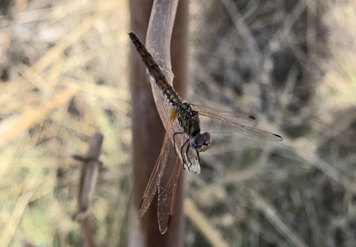
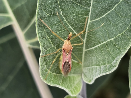
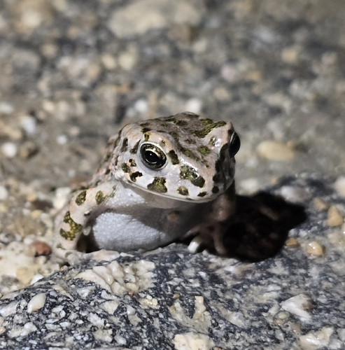
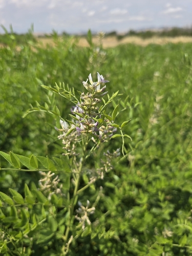
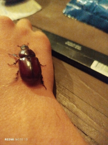
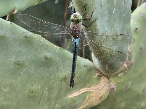
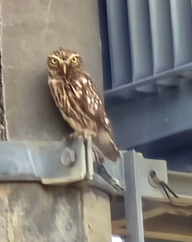
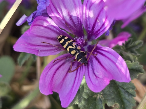
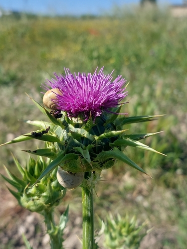
Research-grade observations from iNaturalist (within ~15 mi).
Events
Gallery
Official Identifiers
ISTAT — Italian National Institute of Statistics
- ISTAT code
- 071063
- Province
- Foggia (FG)
- Region
- Puglia
- NUTS3 (2024)
- ITF46
- Codice catastale
- M266
Elenco comuni italiani (CC BY 3.0 IT)
Sources
- • Wikipedia
- • Wikidata
- • iNaturalist
- • Open-Meteo / sunrise-sunset.org
- • Wikipedia Pageviews API
- • ISTAT — Italian national statistics (Elenco comuni italiani), via istat.it (official ISTAT code, province, region, NUTS3, codice catastale)
- • ISTAT — Italian National Institute of Statistics — Elenco comuni italiani (CC BY 3.0 IT)