Browse / Italy / Tuscany / Prato
Prato
Tuscanycity

Prato
Total population
191,150
Air quality index
Demographic figures from ISTAT. Overview below cites Wikipedia and may reference a different year.
City facts
Sister cities
Facts from Wikidata (CC0).
Overview
Prato is a city and comune (municipality) in the region of Tuscany in Italy, and is the capital of the Province of Prato. The city lies in the northeast of Tuscany, at an elevation of 65 metres (213 ft), at the foot of Monte Retaia. The distance between Prato and Florence is approximately 15–17 kilometers. With a population of 198,327 as of 2026, Prato is Tuscany's 2nd-largest city after Florence, and the 18th-largest in Italy.
Read more on WikipediaHistory & geography
History
Archaeological findings have proved that Prato's surrounding hills were inhabited since Paleolithic times. The plain was later colonized by the Etruscans. In 1997, remains of a previously unknown city from that civilization were discovered in the neighbourhood of Gonfienti near Campi Bisenzio. It was of medium size and it was already a centre for the wool and textile industry. According to some scholars, it could be the mythical Camars. The Etruscan city was inhabited until the 5th century BC, when, for undisclosed reasons, it decayed; control of the area later shifted to the Romans, who routed the Via Cassia through it but did not build any settlements. In the early Middle Ages, the Byzantine and Lombard dominations prevailed in the region. The history of Prato itself begins from the 10th century, when two distinct villages, Borgo al Cornio and Castrum Prati (Prato's Castle), are known. In the following century the two settlements were united under the lords of the castle, the Alberti family, who received the imperial title of Counts of Prato. The severity of the sack of Prato led to the surrender of the Florentine Republic, and to the restoration of the Medici rule. Historians debate the actual number of people killed during the sack, but contemporary chroniclers asserted between 2000 and 6000 people were slaughtered in the streets. Following the 1512 fall of Prato, the ambassador from the Duchy of Ferrara documented the scene, reporting that Spanish forces executed an unprecedented massacre, leaving churches and homes filled with corpses. In 1653, Prato obtained the status of city and became seat of a Catholic diocese. During the 18th century, with the ascent of Lorraine at the head of the Grand Duchy of Tuscany, the city was embellished and also experienced a…
Excerpted from the corresponding Wikipedia article (CC BY-SA).
Geography
Coordinates & boundaries from the US Census TIGER/Line shapefiles.
Climate
Air quality
Current readings from Open-Meteo Air Quality API (Copernicus CAMS European reanalysis).
Walkability
Amenities nearby
Wildlife & biodiversity
Most-observed species
- Hooded CrowCorvus cornix Linnaeus, 1758 · Aves3,431
- Rock PigeonColumba livia J.F.Gmelin, 1789 · Aves3,135
- Common Wood-PigeonColumba palumbus Linnaeus, 1758 · Aves2,818
- Eurasian BlackbirdTurdus merula Linnaeus, 1758 · Aves2,622
- Italian SparrowPasser italiae (Vieillot, 1817) · Aves2,616
- Little Egret/Western Reef-HeronEgretta garzetta (Linnaeus, 1766) · Aves2,313
- European StarlingSturnus vulgaris Linnaeus, 1758 · Aves1,909
- Gray/Purple HeronArdea cinerea Linnaeus, 1758 · Aves1,885
Citizen-science & research observations from the Global Biodiversity Information Facility (GBIF).
Earthquake history
Most recent
- M 4.1 — 2026-08-160 km NE of Casano-Dogana-Isola, Italy
- M 4.2 — 2026-03-266 km NNW of Montale, Italy
- M 4.1 — 2026-03-251 km S of Santo Stefano di Magra, Italy
- M 2.5 — 2025-03-042 km NNW of Carrara, Italy
- M 3.7 — 2024-02-175 km SSE of Modigliana, Italy
- M 5.1 — 2023-09-187 km SE of Marradi, Italy
Events from the USGS Earthquake Catalog (global) (FDSN Event Web Service).
Photos
Sights & places nearby
Notable people from here


People born within ~10 km, from Wikidata (CC0). Click any name for their Wikipedia article.
Nearby places in Tuscany
- San Giorgio a Colonica3.1 mi away · pop. 158
- La Briglia4.1 mi away
- Poggetto4.7 mi away · pop. 1,303
- Catena4.8 mi away
- La Tignamica4.8 mi away
- Poggio a Caiano4.9 mi away · pop. 10,007
- Seano5.4 mi away
- Montale5.5 mi away · pop. 10,737
- Tizzana5.6 mi away
- Carmignano6 mi away · pop. 14,450
- San Mauro6.2 mi away · pop. 2,554
- Comeana6.3 mi away · pop. 2,288
Geography & sun
Elevation, sunrise/sunset and daylight from Open-Meteo. Solar climatology from NASA POWER.
Nearby airports
Public attention
Pageview totals from the Wikimedia Pageviews API.
Books about Prato
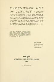
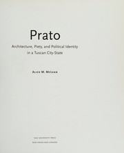
Search results from Open Library.
Recent natural events nearby
Ground air-quality sensors
Recently spotted species
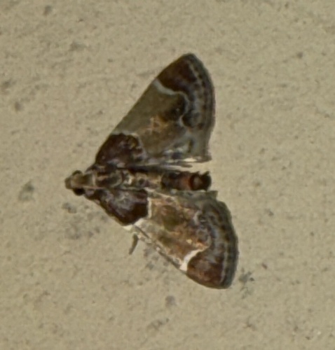
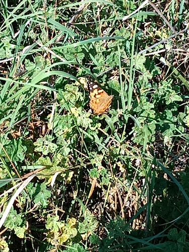
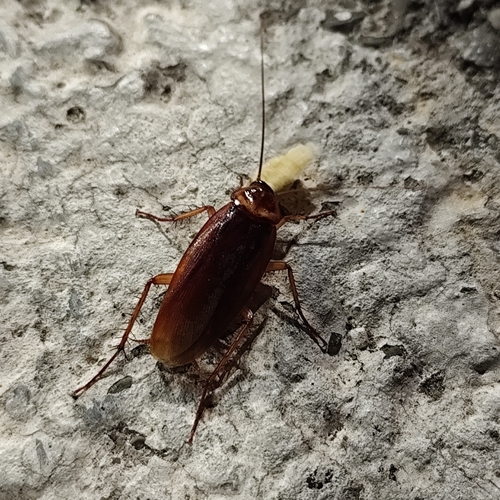
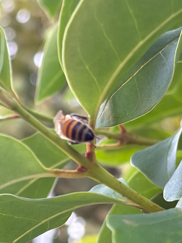
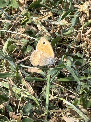
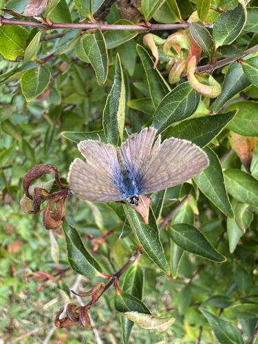
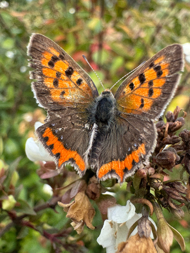
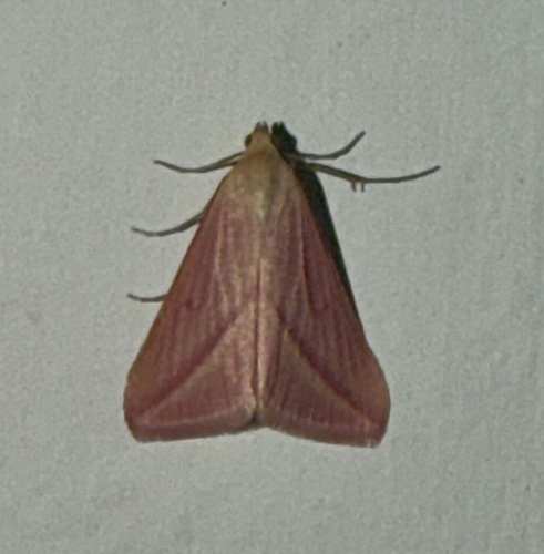
Research-grade observations from iNaturalist (within ~15 mi).
Events
Gallery
Geotagged photos within ~6 miles of Prato, from Wikimedia Commons contributors.


.jpeg)

_02_iniziale_G_con_assunta.jpg)


Photos via Wikimedia Commons — see each image page for license & attribution.
Official Identifiers
ISTAT — Italian National Institute of Statistics
- ISTAT code
- 100005
- Province
- Prato (PO)
- Region
- Toscana
- NUTS3 (2024)
- ITI15
- Codice catastale
- G999
- Province capital
- Yes
Elenco comuni italiani (CC BY 3.0 IT)
Sources
- • Wikipedia
- • Wikimedia Commons
- • Wikidata
- • Open-Meteo Air Quality (CAMS)
- • USGS Earthquake Catalog (global feed)
- • GBIF (Global Biodiversity Information Facility)
- • iNaturalist
- • Open-Meteo / sunrise-sunset.org
- • Wikipedia Pageviews API
- • Open Library
- • ISTAT — Italian national statistics (Elenco comuni italiani), via istat.it (official ISTAT code, province, region, NUTS3, codice catastale)
- • ISTAT — Italian National Institute of Statistics — Elenco comuni italiani (CC BY 3.0 IT)