Browse / Italy / Abruzzo / Pratola Peligna
Pratola Peligna
Abruzzotown

Pratola Peligna
Total population
7,000
Air quality index
Demographic figures from ISTAT. Overview below cites Wikipedia and may reference a different year.
City facts
Sister cities
Facts from Wikidata (CC0).
Overview
Pratola Peligna is a comune and town in the Province of L'Aquila in the Abruzzo region of Italy. As of 2015, it has a population of 7,652 inhabitants.
Read more on WikipediaHistory & geography
History
It is supposed that in Roman times there was a stranger pagus (village) peligno, who would have participated with Corfinium in the Social War against Rome in 91 BC, but there are no finds to prove its existence. A tomb of the 6th century, of Ostrogoth style, attests to the existence of a settlement, perhaps coinciding with the locality Fara de Campiliano, mentioned in the documents of the following centuries. The first document in which the name of Pratola appears ("on site Pratulae") is an agricultural contract of 997, reported in the Chronicon Volturnensis, which however does not yet refer to an inhabited center. During the 12th century a fortified center was created: in 1170 the castrum Pratulae was assigned by the Norman William II to bishop Odorisio of L'Aquila. In 1294 the fiefdom was assigned by Charles II of Anjou to the abbot of the monastery of Abbey of Santo Spirito del Morrone, under whose rule Pratola will remain until 1807. The history of the country is characterized by several popular ferments; to remember: in 1799 the revolt against the invasion French (together with many other municipalities of Abruzzo), the opposition to the Constitution of the Bourbon government of Ferdinand II in 1848 and the riot of 1934 against the fascist regime. During the Second World War, on August 2, 1943, the Montecatini plant, located two kilometers from the country, was bombed by the Allies. In 1863, after the unification of Italy, the town was officially given by royal decree the name Pratola Peligna. On January 9, 2006, the President of Italy, Carlo Azeglio Ciampi, awarded the municipality of Pratola the , with the following citation: "Strategically important center, during World War II, it was subjected to continuous and violent bombings, which caused numerous…
Geography
Pratola Peligna is bordered by Popoli, Corfinio, Prezza, Raiano, Roccacasale and Sulmona.
Excerpted from the corresponding Wikipedia article (CC BY-SA).
Geography
Coordinates & boundaries from the US Census TIGER/Line shapefiles.
Climate
Air quality
Current readings from Open-Meteo Air Quality API (Copernicus CAMS European reanalysis).
Walkability
Amenities nearby
Wildlife & biodiversity
Most-observed species
- Eurasian BlackbirdTurdus merula Linnaeus, 1758 · Aves87
- Great TitParus major Linnaeus, 1758 · Aves87
- Common BuzzardButeo buteo (Linnaeus, 1758) · Aves86
- European RobinErithacus rubecula (Linnaeus, 1758) · Aves86
- Eurasian Blue TitCyanistes caeruleus (Linnaeus, 1758) · Aves83
- Common ChaffinchFringilla coelebs Linnaeus, 1758 · Aves75
- Green-Winged OrchidAnacamptis morio (L.) R.M.Bateman, Pridgeon & M.W.Chase · Liliopsida75
- Lady OrchidOrchis purpurea Huds. · Liliopsida75
Citizen-science & research observations from the Global Biodiversity Information Facility (GBIF).
Earthquake history
Most recent
- M 4.4 — 2026-07-245 km WNW of Pizzone, Italy
- M 2.7 — 2025-05-081 km NNE of Montecompatri, Italy
- M 4.1 — 2024-12-093 km SSE of Formia, Italy
- M 4 — 2024-11-095 km W of Larino, Italy
- M 4.7 — 2023-03-282 km NNW of Montagano, Italy
- M 4.3 — 2022-09-221 km S of Appignano del Tronto, Italy
Events from the USGS Earthquake Catalog (global) (FDSN Event Web Service).
Photos
Sights & places nearby
Notable people from here


People born within ~10 km, from Wikidata (CC0). Click any name for their Wikipedia article.
Nearby places in Abruzzo
- Corfinio2.4 mi away · pop. 997
- Raiano3.1 mi away · pop. 2,973
- Prezza3.4 mi away · pop. 869
- Vittorito3.5 mi away · pop. 1,012
- Sulmona4.4 mi away · pop. 24,557
- Goriano Sicoli5.2 mi away · pop. 633
- Bugnara5.3 mi away · pop. 1,035
- Popoli Terme5.5 mi away · pop. 5,566
- Introdacqua6.4 mi away · pop. 1,831
- Castel di Ieri6.8 mi away · pop. 405
- Cocullo6.8 mi away · pop. 317
- Salle7 mi away · pop. 312
Geography & sun
Elevation, sunrise/sunset and daylight from Open-Meteo. Solar climatology from NASA POWER.
Nearby airports
Public attention
Pageview totals from the Wikimedia Pageviews API.
Books about Pratola Peligna
Search results from Open Library.
Recent natural events nearby
Ground air-quality sensors
Recently spotted species
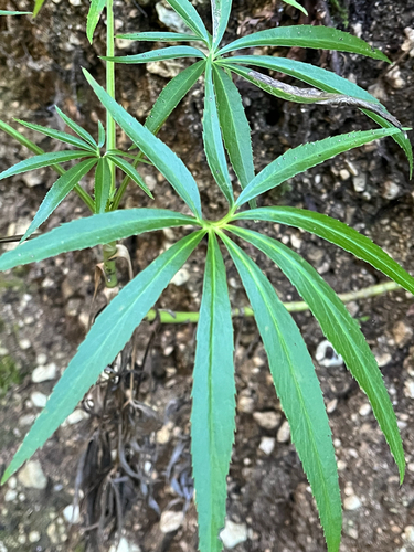

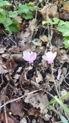
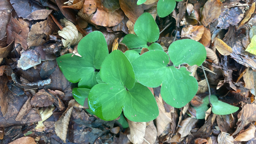
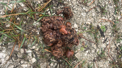
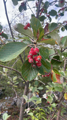
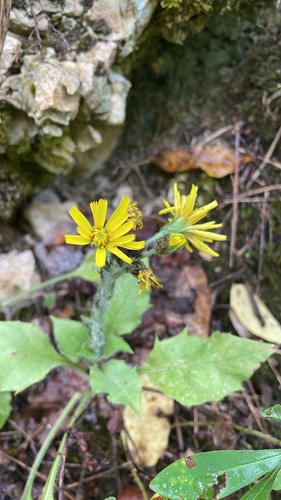
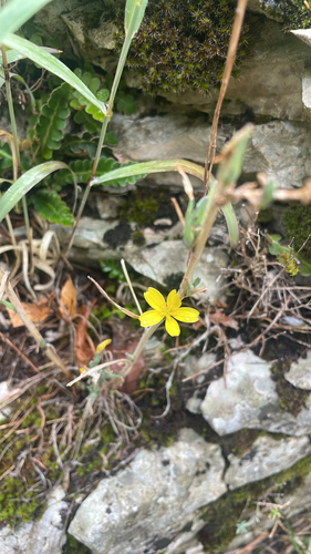
Research-grade observations from iNaturalist (within ~15 mi).
Events
Gallery
Official Identifiers
ISTAT — Italian National Institute of Statistics
- ISTAT code
- 066075
- Province
- L'Aquila (AQ)
- Region
- Abruzzo
- NUTS3 (2024)
- ITF11
- Codice catastale
- H007
Elenco comuni italiani (CC BY 3.0 IT)
Sources
- • Wikipedia
- • Wikidata
- • Open-Meteo Air Quality (CAMS)
- • USGS Earthquake Catalog (global feed)
- • GBIF (Global Biodiversity Information Facility)
- • iNaturalist
- • Open-Elevation
- • Open-Meteo / sunrise-sunset.org
- • Wikipedia Pageviews API
- • Open Library
- • ISTAT — Italian national statistics (Elenco comuni italiani), via istat.it (official ISTAT code, province, region, NUTS3, codice catastale)
- • ISTAT — Italian National Institute of Statistics — Elenco comuni italiani (CC BY 3.0 IT)