Browse / Italy / Basilicata / Rionero in Vulture
Rionero in Vulture
Basilicatatown

Rionero in Vulture
Total population
13,230
Demographic figures from ISTAT. Overview below cites Wikipedia and may reference a different year.
City facts
Sister cities
Facts from Wikidata (CC0).
Overview
Rionero in Vulture is a town and comune in the province of Potenza, in the southern Italian region of Basilicata. It is located on the slopes of Monte Vulture in the northern part of the region. The village was founded and historically inhabited by the Arbëreshë minority, who no longer retain the language and the cultural Arbëreshe heritage.
Read more on WikipediaHistory & geography
History
The first historical mention of the hamlet of Saint Maria di Rivonigro goes back to 1152, when it is mentioned as a feudal possession of the bishop of Rapolla. In 1316 the inhabitants of Rionero abandoned their hamlet and took part in the construction of the village of Atella which had received tax concessions. The hamlet remained unpopulated during most of the 14th and 15th centuries until the influx of refugees from Albania (i.e. from Scutari and Corona) and several groups taking advantage of tax exemptions promulgated in those years. Its history overlaps with those of the neighbors Barile, Melfi, Ginestra ("Lombarda Massa") and Maschito. On April 1, 1502 Louis d'Armagnac, Duke of Nemours and Gonzalo Fernández de Córdoba met at the Church of St. Antonio Abate in Rionero to negotiate whether France or Spain would control the provinces of Principato Citra, Principato Ultra, Capitanata, and Basilicata. In 1627 the inhabitants of Rionero were forced to change their religious observances from the Greek rite to the Latin rite by Diodato Scaglia, the Bishop of Melfi. Seriously struck by the earthquake of 1694, Rionero's population in that period did not exceed 700. Later on the Caracciolo, princes of Torella, to whom belonged the feudal rights, granted permission for the deforestation, the tillage, and the cultivation of lands occupied from the forests of the locality "Gaudo" and as a result of the consequent economic development the population endured a strong growth: in the year 1735 the inhabitants had grown to approximately 3,000, in 1752 to approximately 9,000 and by 1811 they had exceeded 11,000. In this year, on May 4, the ancient hamlet obtained the administrative autonomy as a comune from King Joachim Murat. By the mid 19th century the population grew until…
Excerpted from the corresponding Wikipedia article (CC BY-SA).
Geography
Coordinates & boundaries from the US Census TIGER/Line shapefiles.
Climate
Air quality
Walkability
Amenities nearby
Wildlife & biodiversity
Earthquake history
Photos
Sights & places nearby
Notable people from here
Geography & sun
Elevation, sunrise/sunset and daylight from Open-Meteo. Solar climatology from NASA POWER.
Nearby airports
Public attention
Pageview totals from the Wikimedia Pageviews API.
Books about Rionero in Vulture

Search results from Open Library.
Recent natural events nearby
Ground air-quality sensors
Recently spotted species
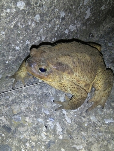
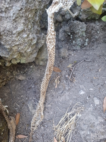
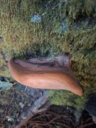
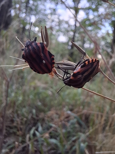
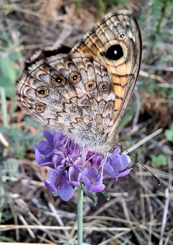

Research-grade observations from iNaturalist (within ~15 mi).
Events
Gallery
Official Identifiers
ISTAT — Italian National Institute of Statistics
- ISTAT code
- 076066
- Province
- Potenza (PZ)
- Region
- Basilicata
- NUTS3 (2024)
- ITF51
- Codice catastale
- H307
Elenco comuni italiani (CC BY 3.0 IT)
Sources
- • Wikipedia
- • Wikidata
- • iNaturalist
- • Open-Meteo / sunrise-sunset.org
- • Wikipedia Pageviews API
- • Open Library
- • ISTAT — Italian national statistics (Elenco comuni italiani), via istat.it (official ISTAT code, province, region, NUTS3, codice catastale)
- • ISTAT — Italian National Institute of Statistics — Elenco comuni italiani (CC BY 3.0 IT)